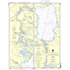
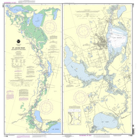
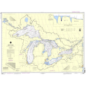
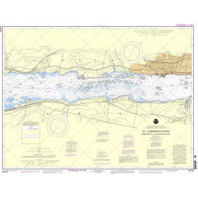
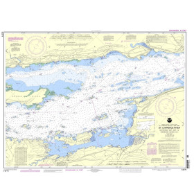
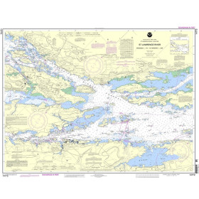
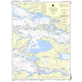
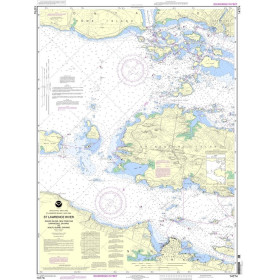
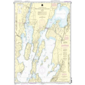
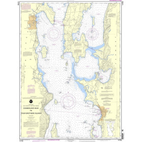
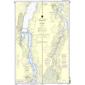
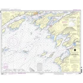
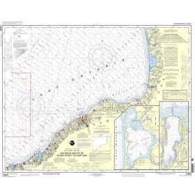
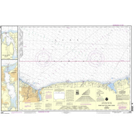
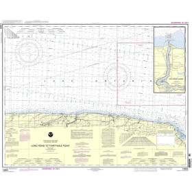
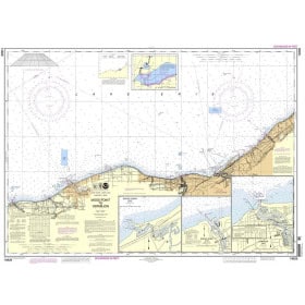
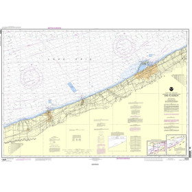
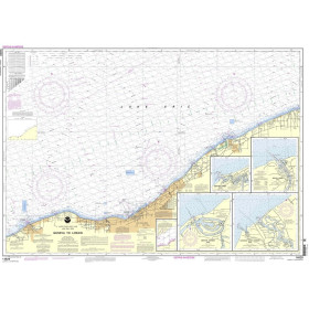
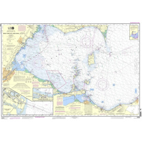
NOAA River Chart
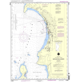
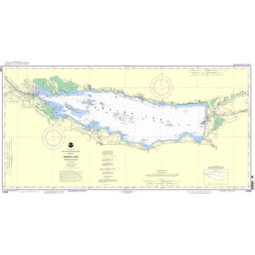
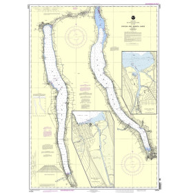
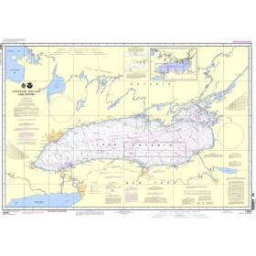
NOAA charts are U.S. hydrographic publications used for navigation in American coastal waters, estuaries, ports and waterways. They provide information on channels, depths, buoyage, structures, bridges, ports and regulated navigation areas, particularly around major U.S. river systems and port approaches. They can be useful when planning navigation around New York, Baltimore, Houston and New Orleans, as well as on waterways influenced by the Mississippi River and its major tributaries. U.S. hydrographic documentation distinguishes charts intended for coastal and port navigation from information specifically covering inland waterways. NOAA charts are relevant to navigators, maritime professionals, recreational boaters, instructors and navigation schools requiring reliable U.S. hydrographic information. They complement other nautical publications needed for route planning and for understanding navigation conditions in American waters. They are particularly useful when preparing voyages involving U.S. ports, estuaries, coastal approaches and major inland waterways.

 Click here to open our interactive map and select your charts