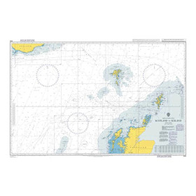
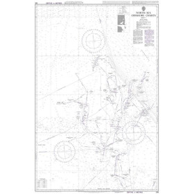
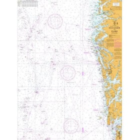
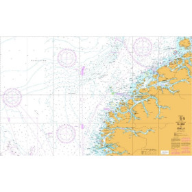
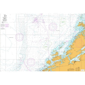
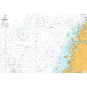
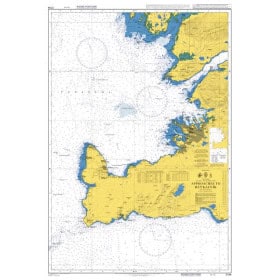
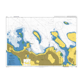
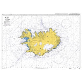
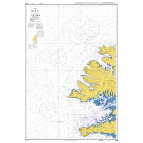
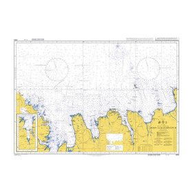
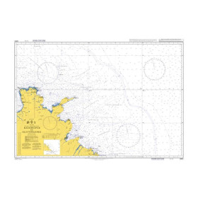
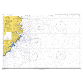
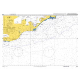
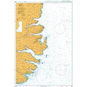
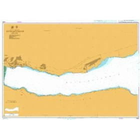
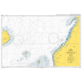
Admiralty nautical chart Norwegian sea
Vous avez raison : il s’agit du texte précédent sur la carte marine Admiralty de la mer de Norvège.
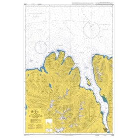
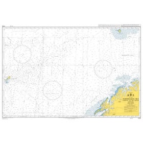
Admiralty nautical charts of the Norwegian Sea are designed for coastal, offshore and passage navigation in Norwegian waters, between the North Sea, Norwegian Sea and Arctic regions. Published by the United Kingdom Hydrographic Office (UKHO), they provide essential nautical information including depths, soundings, hazards, reefs, wrecks, lights, lighthouses, buoys, navigation marks, channels, ports and other navigational aids. They are suitable for planning routes along the Norwegian coastline, around fjords and archipelagos, as well as for voyages towards the Lofoten Islands, North Cape and northern waters, depending on the chart selected. An Admiralty nautical chart of the Norwegian Sea provides an accurate and structured representation of the marine environment and complements electronic navigation systems. The appropriate chart reference depends on the geographical area, planned route and scale required.

 Click here to open our interactive map and select your charts