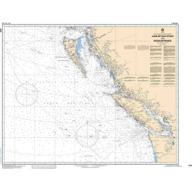
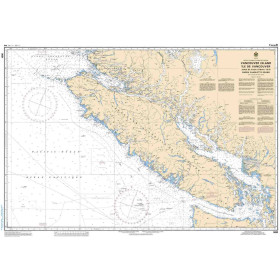
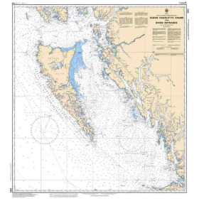
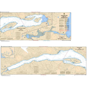
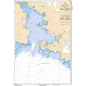
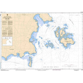
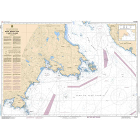
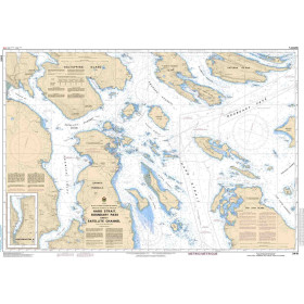
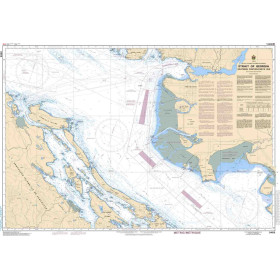
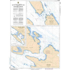
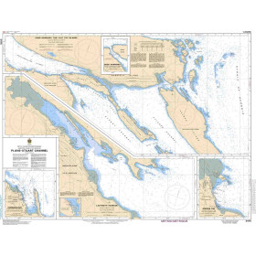
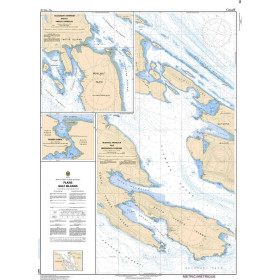
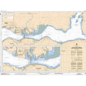
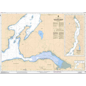
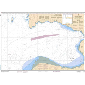
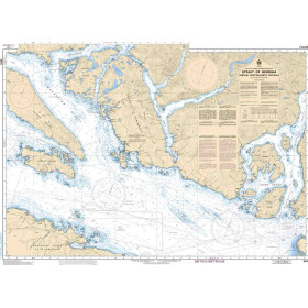
SHC nautical chart Pacific ocean
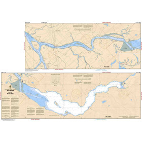
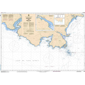
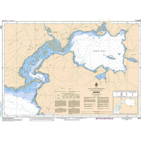
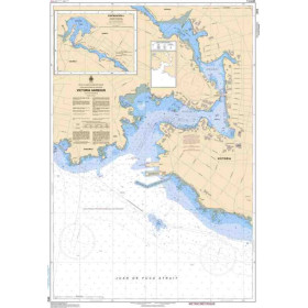
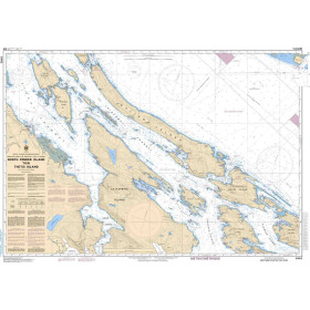
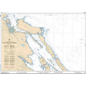
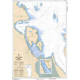
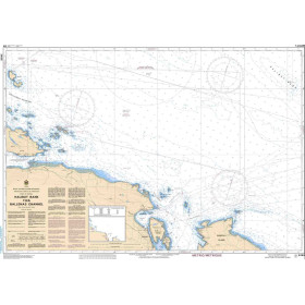
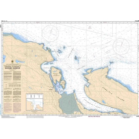
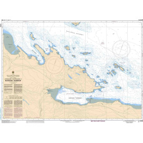
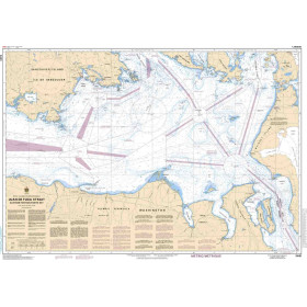
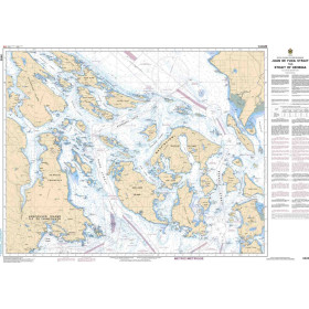
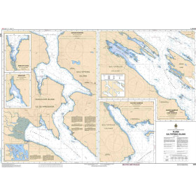
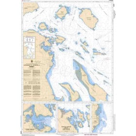
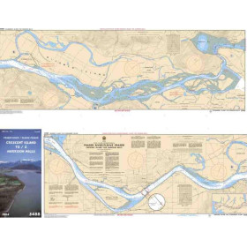
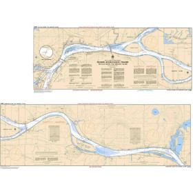
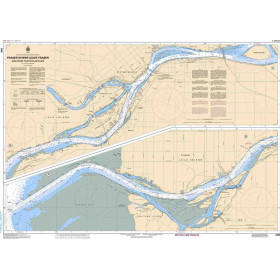
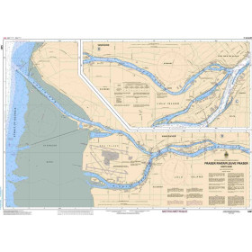
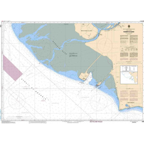
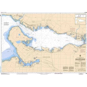
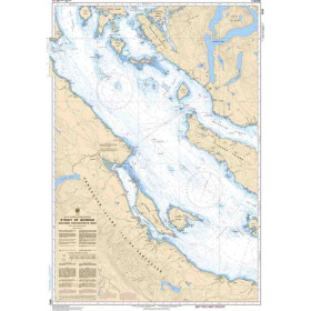
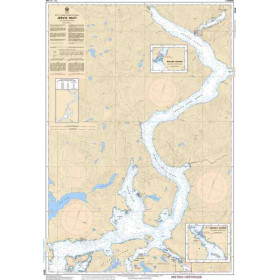
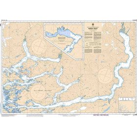
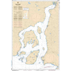
The West Coast of Canada, from the Strait of Juan de Fuca to Dixon Entrance, is one of the most spectacular and demanding sailing areas in the world, with its deep fjords, thousands of islands—including Vancouver Island—and complex hydrographic conditions. The charts produced by the Canadian Hydrographic Service (CHS) cover this area through coastal, nearshore, offshore and oceanic charts, including 3001 for Vancouver Island and 3412 for the Port of Victoria. Each chart provides detailed information on depths in metres, aids to navigation and hazards such as shoals, drying rocks and wrecks, as well as regulated areas, in accordance with International Hydrographic Organization (IHO) standards. These charts are essential for leisure sailors, professional mariners—including commercial shipping, towing, fishing and offshore operators—and navigation schools. They are particularly valuable given the powerful tidal currents and frequent fog encountered along the British Columbia coast. The CHS is progressively shifting its production towards Electronic Navigational Charts (ENCs) while continuing to maintain paper charts as an essential navigation backup.

 Click here to open our interactive map and select your charts