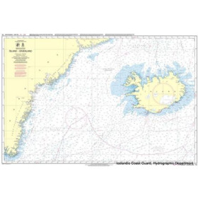
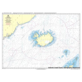
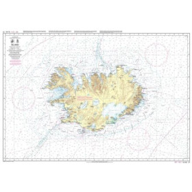
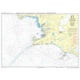
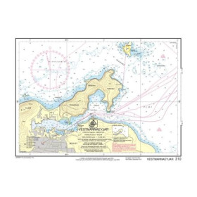
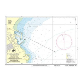
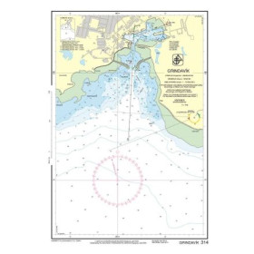
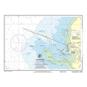
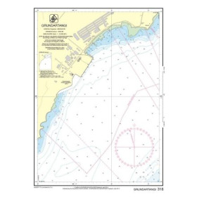
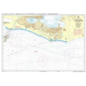
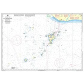
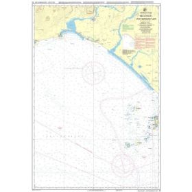
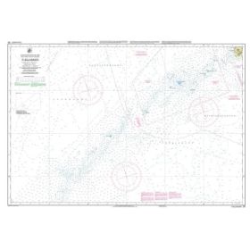
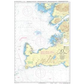
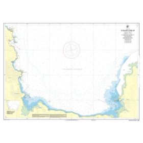
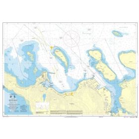
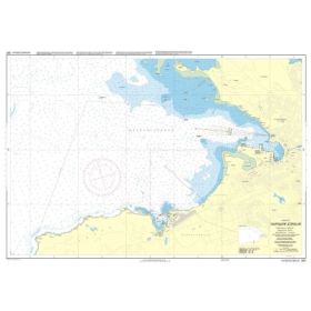
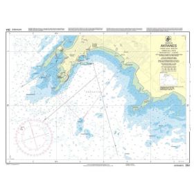
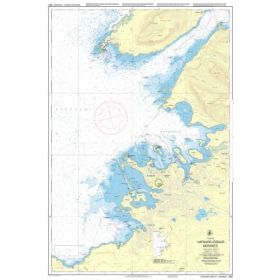
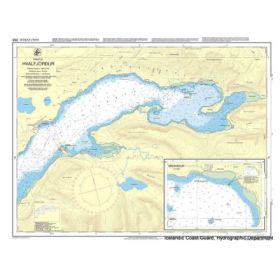
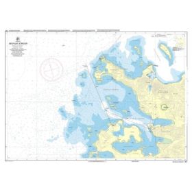
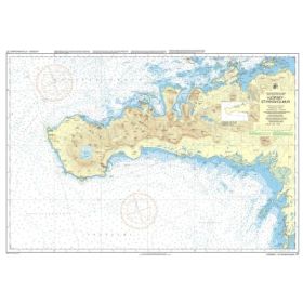
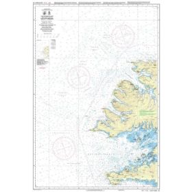
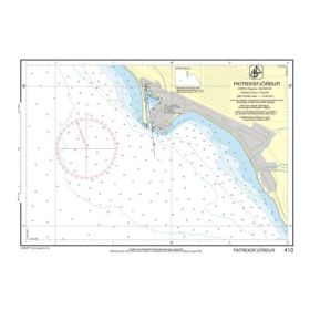
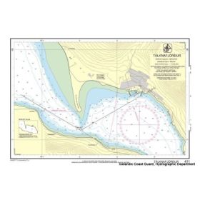
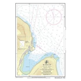
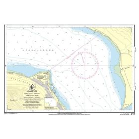
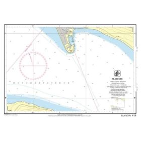
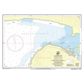
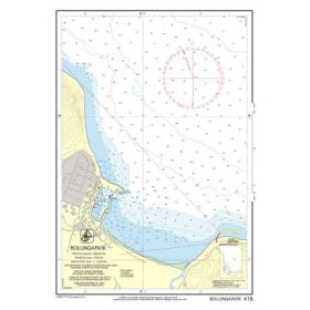
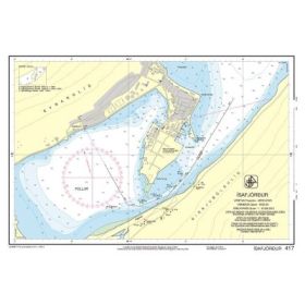
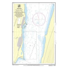
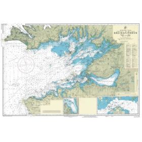
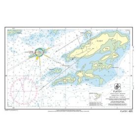
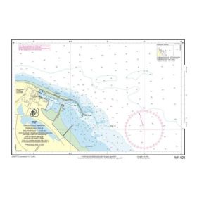
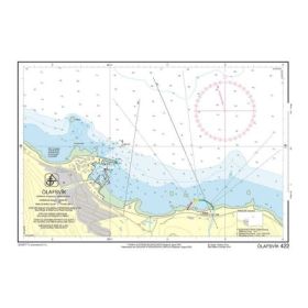
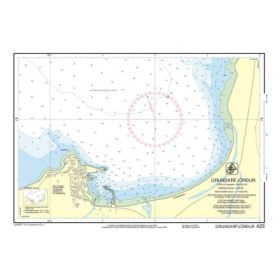
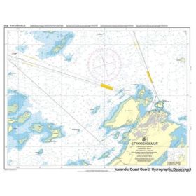
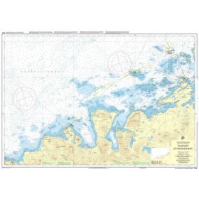
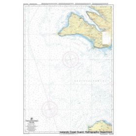
Icelandic Hydrographic Office nautical chart
Nautical charts published by the Icelandic Hydrographic Office (IHO) are the official reference for navigation in Icelandic waters. Designed for the demanding conditions of the North Atlantic, they are used by professional mariners, experienced yachtsmen, fishermen, and scientific expeditions. These charts provide detailed information on bathymetry, coastlines, fjords, navigation aids, hazards, tides, and currents, ensuring safe navigation around Iceland’s complex and evolving seabed. Their main advantages include official status, high accuracy, comprehensive coastal coverage, and regular updates compliant with International Hydrographic Organization standards. However, they require solid chart-reading skills, must be used with caution due to volcanic and seismic activity, and represent a higher investment, especially in paper format. Despite these limitations, IHO charts remain indispensable for reliable and safe navigation in Icelandic waters.

 Click here to open our interactive map and select your charts