



Data sheet
Specific References
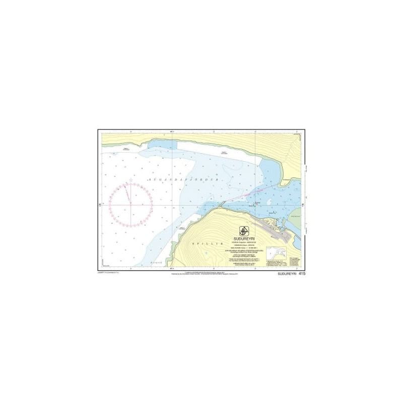
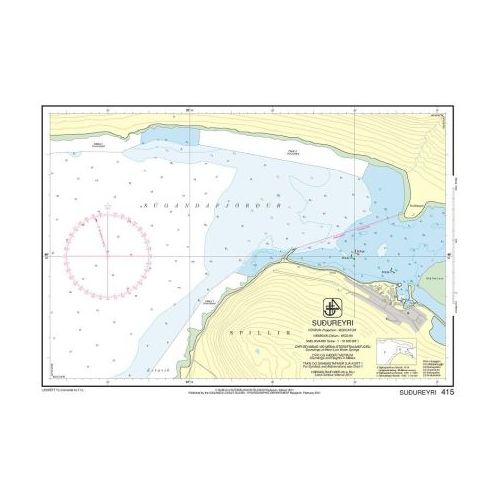
Nautical charts produced by the Icelandic Coast Guard Hydrographic Department cover all Icelandic waters, including the country’s coastline, fishing grounds, and key routes across the North Atlantic.
Sailing around Iceland means operating in a demanding maritime environment: rugged volcanic coastlines, irregular seabeds, rapidly changing weather, ocean swell, frequent fog, and limited sheltered areas. In addition, local currents and intense fishing activity require constant vigilance.
These charts are intended for experienced coastal sailors, offshore navigators, and maritime professionals. In this region, choosing the right nautical chart is not optional—it is essential for safe navigation.
Icelandic nautical charts are designed for real-world navigation, often in challenging conditions.
The Icelandic coastline features numerous capes, bays, and fjords. Charts help identify navigable waters, hazards, and the few available shelters.
Icelandic harbors are often exposed to ocean conditions. Charts provide detailed access routes, depths, and infrastructure information.
For transatlantic sailors or those navigating toward Greenland or the Faroe Islands, these charts are essential for planning landfalls and securing approaches.
Accurate bathymetric data is critical for fishing operations in rich but complex waters.
Compared to digital-only solutions, paper charts provide a stable, comprehensive overview that remains reliable in all conditions.
These charts are primarily designed for autonomous skippers capable of handling demanding conditions.
Ideal for long-distance routes across the North Atlantic or northern passages.
Fishing, transport, and scientific missions rely on the accuracy of these charts.
Detailed information on lights and navigation aids allows safe use in varying visibility conditions.
In areas where electronic equipment may be affected by conditions, paper charts remain a critical reference tool.
These charts are intended for real, often demanding navigation scenarios requiring preparation and autonomy.
Icelandic charts are available at different scales:
Large-scale charts are strongly recommended near the coast.
Accurate chart reading is essential for safe navigation.
Charts are produced by the Icelandic Coast Guard Hydrographic Department, ensuring reliable data aligned with international standards.
Corrections are issued through Notices to Mariners, reflecting changes in buoyage and infrastructure.
Using an up-to-date chart reduces uncertainty. Older charts may contain outdated information.
Charts use reference systems such as WGS 84, ensuring compatibility with GPS positioning.
In Icelandic waters, preparation and discipline are key to safety.
Electronic systems provide:
However, they do not replace the strategic understanding provided by paper charts.
In the North Atlantic, paper charts remain a core navigation tool.
A combination of charts is recommended: general charts for offshore navigation and detailed charts for coastal areas.
No. It should be used alongside GPS, weather data, and real-time observation.
Whenever a new edition is released or significant updates occur.
Yes. These charts are compatible with modern GPS systems using the WGS 84 reference.
Each hydrographic office covers its own region. Icelandic charts are the official reference for Iceland.
They provide a reliable backup and a complete overview, especially in areas where electronic systems may fail.
Icelandic Hydrographic Office nautical charts are essential tools for navigating around Iceland—an environment that demands precision, anticipation, and autonomy.
Choosing the right chart, keeping it updated, and using it correctly ensures safer and more controlled navigation. Nautic Way supports this approach by offering a carefully curated selection tailored to the needs of experienced and committed sailors.
Icelandic Hydrographic Office nautical charts are updated daily and printed only on demand. On the day of printing, they incorporate the latest updates. The chart's publication year is indicated on it.
We strive to offer only the latest versions of nautical charts incorporating the most recent updates.
All nautical charts, whether paper or digital, are printed on demand and include the latest updates. In accordance with Article L221-28 of the French Consumer Code, the right of withdrawal cannot be exercised for goods liable to become obsolete rapidly. Paper charts and digital charts are neither returnable nor exchangeable. Consequently, these orders are final upon placement by the Customer, according to the terms and conditions specified in these General Terms and Conditions of Sale.
You might also like