C-Map 4D Lakes Regional on SD card - micro SD
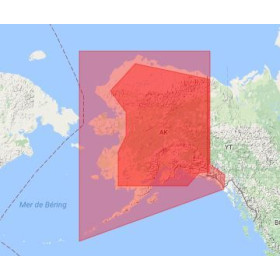
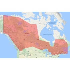
C-MAP 4D Lakes Regional digital marine cartography on an SD or microSD card is designed for boaters looking for detailed chart coverage of lakes and inland waterways included in the selected region. Depending on the chart reference, a C-MAP 4D Lakes Regional chart can provide useful navigation information such as depths, soundings, depth contours, shorelines, ports, marinas, channels, navigation aids, obstacles and hazardous areas. Available on SD or microSD media, this C-MAP digital cartography is designed for compatible GPS chartplotters and navigation systems. It is particularly suitable for recreational boating, fishing and exploring inland waters. Choosing a C-MAP 4D Lakes Regional chart depends on the coverage area, the lake or body of water required, the chartplotter model, supported card format and navigation system version. It is recommended to check the geographic coverage and exact compatibility before purchasing.

 Click here to open our interactive map and select your charts