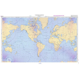
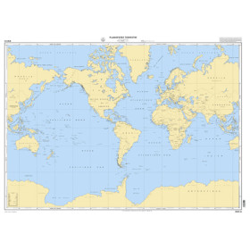
Shom C nautical chart Planisphere
The Shom C World Map nautical chart is a rolled paper marine chart designed to provide a general representation of the world’s oceans and major maritime routes. It offers a useful overview for planning a circumnavigation, an ocean crossing or for studying major navigation areas between Europe, Africa, Asia, Oceania and the Americas. It shows the main Atlantic, Pacific and Indian Oceans, as well as major seas and international maritime routes. Major ports such as Le Havre, Rotterdam, Singapore, the Panama Canal, Auckland and Papeete can be located within their wider maritime environment. This Shom chart complements detailed nautical charts and specialist publications from Admiralty, Imray and NV Charts. Nautic Way, a European specialist in nautical cartography, offers the Shom C World Map for sailors, maritime schools, marine professionals and enthusiasts of maritime geography who want to visualise the world’s major ocean routes.

 Click here to open our interactive map and select your charts