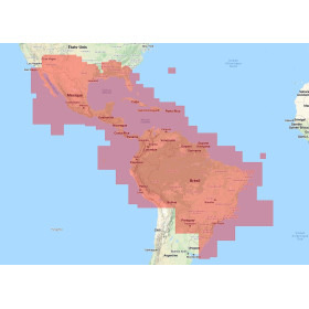
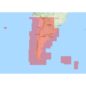
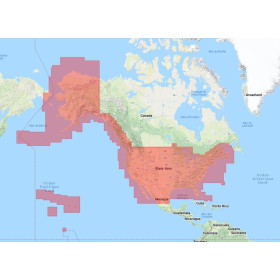
Navionics+ Large on SD card - micro SD
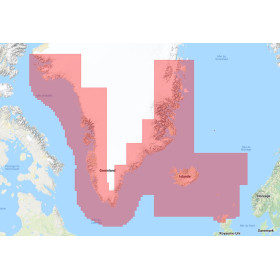
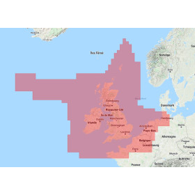
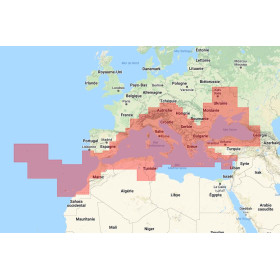
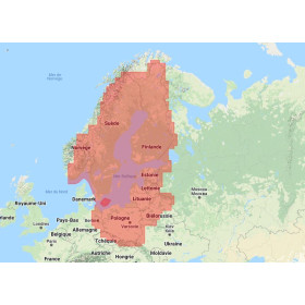
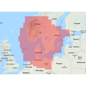
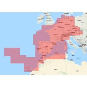
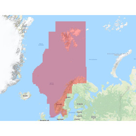
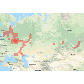
The Navionics+ Large digital marine chart on SD or microSD card is designed for compatible marine GPS systems and chartplotters requiring extensive geographical coverage. Depending on the specific reference, it may include coastlines, depths, soundings, bathymetric contours, ports, marinas, navigation aids, hazards, wrecks, tides and currents. Navionics+ charts feature SonarChart HD for detailed seabed representation in covered areas, as well as automatic route guidance and chart updates during the period included with the product. The Large format provides extensive geographical coverage, making it suitable for coastal navigation, cruising and sailing across several areas. When choosing a Navionics+ Large chart, it is essential to check the geographical coverage and exact compatibility with your GPS or chartplotter model. The SD or microSD card is intended for compatible marine navigation equipment and is not designed for use with smartphones or tablets.

 Click here to open our interactive map and select your charts



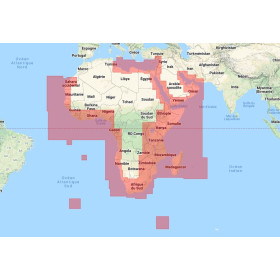
- -5%
- Out-of-Stock