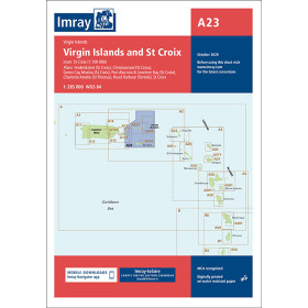
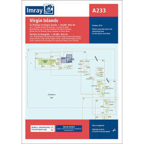
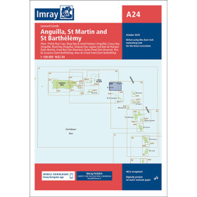
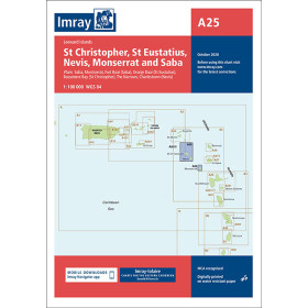
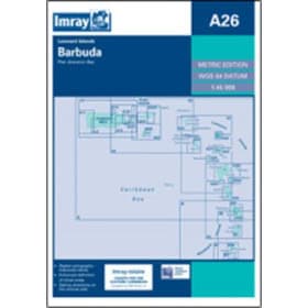
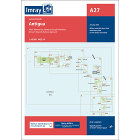
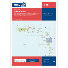
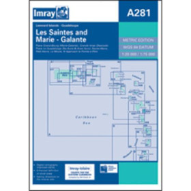
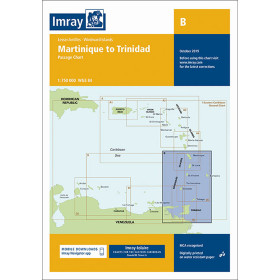
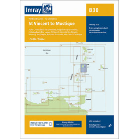
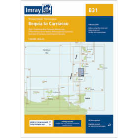
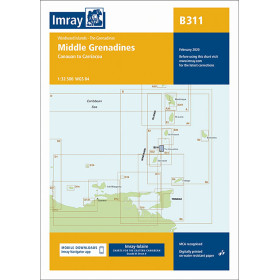
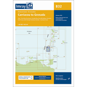
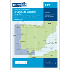
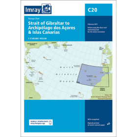
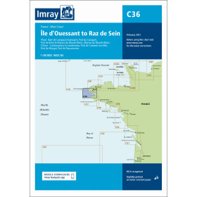
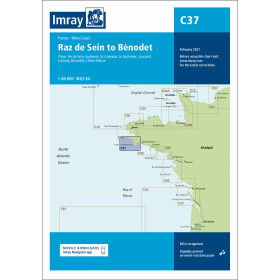
Imray nautical chart Atlantic ocean
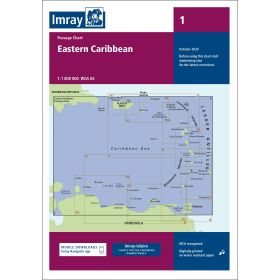
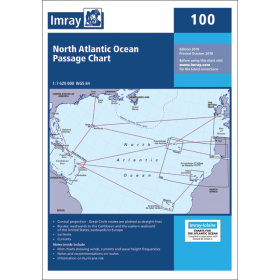
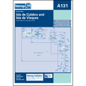
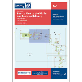
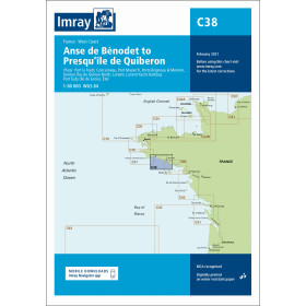
The Atlantic Ocean, with its diverse environments ranging from the rugged coastlines of Brittany to the coral passages of the Caribbean, requires accurate and reliable nautical documentation. Imray Atlantic charts, drawing on a century-old cartographic tradition, cover the entire basin with four levels of detail: passage charts for strategic planning (Chart 100 for the North Atlantic, Chart 1 for the Eastern Caribbean), regional charts for extended cruising, coastal charts for detailed coastal navigation (C36 Ouessant Island–Raz de Sein, C37 Raz de Sein–Bénodet, C38 towards Quiberon), and harbour plans for complex areas (A131 Culebra Island). Each chart includes waypoints, GPS coordinates, currents and regulated areas, with standardized symbols.

 Click here to open our interactive map and select your charts