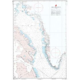
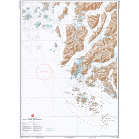
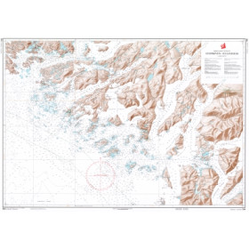
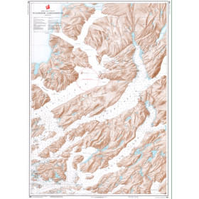
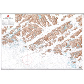
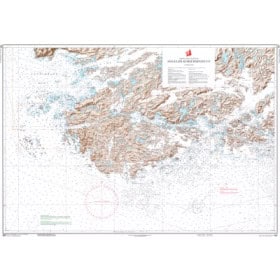
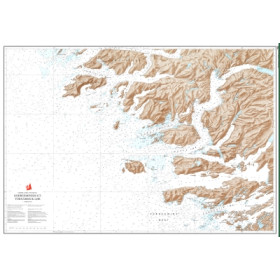
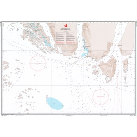
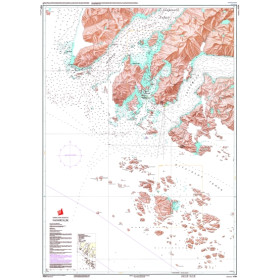
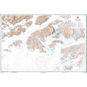
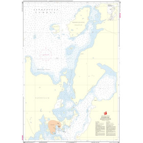
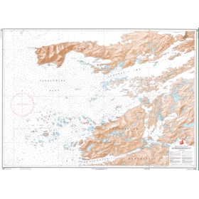
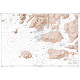
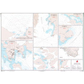
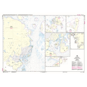
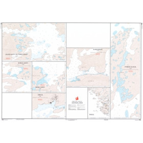
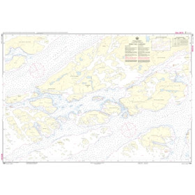
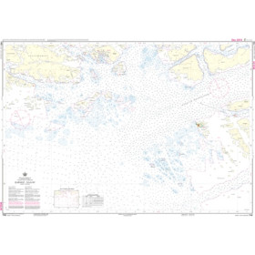
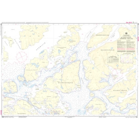
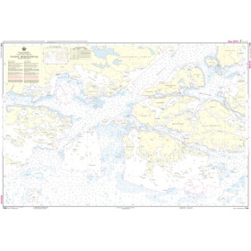
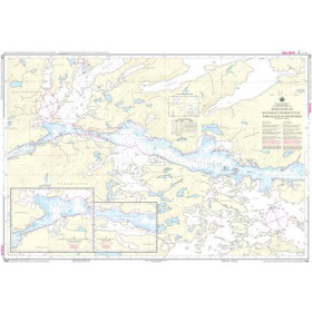
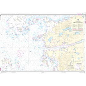
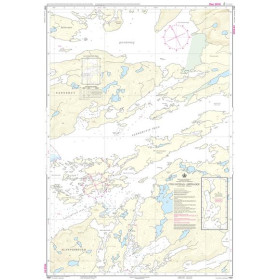
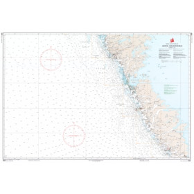
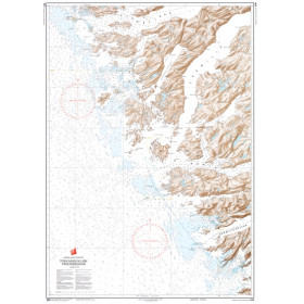
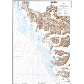
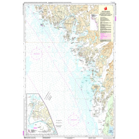
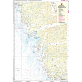
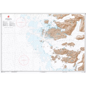
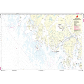
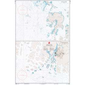
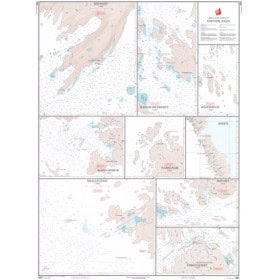
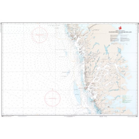
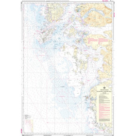
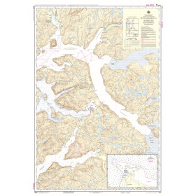
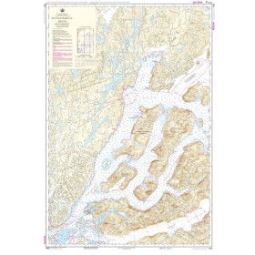
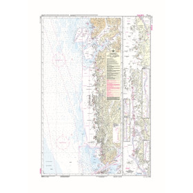
Danish Hydrographic Office nautical chart
Navigation in Greenland, with its 44,000 kilometres of coastline, extensive ice coverage and often poorly surveyed seabed, requires nautical documentation of uncompromising reliability. The charts produced by the Danish Hydrographic Office (DHO), the official hydrographic authority of the Kingdom of Denmark, provide the reference for this Arctic territory. Nautic Way offers charts covering coastal, nearshore, offshore and oceanic areas, including Kort G (overview chart of Greenland) and 1100 (West Coast from Cape Farewell to Arsuk). Each chart identifies polar hazards such as icebergs, growlers and shoals, together with depths in metres and detailed information on the nature of the coastline, including glacier fronts and cliffs. Intended primarily for a highly experienced group of mariners—professional transport and logistics operators, scientific expeditions and offshore skippers accustomed to high-latitude navigation—these charts must be supplemented with ice reports and satellite data, as many areas remain only partially surveyed.

 Click here to open our interactive map and select your charts