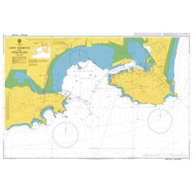
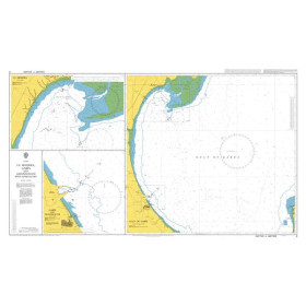
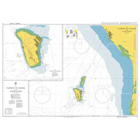
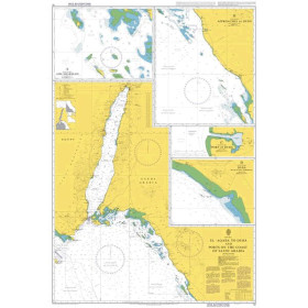
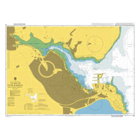
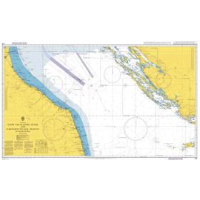
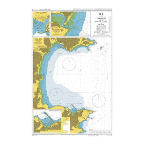
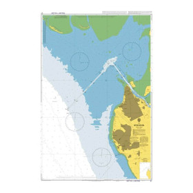
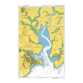
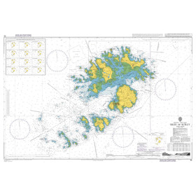
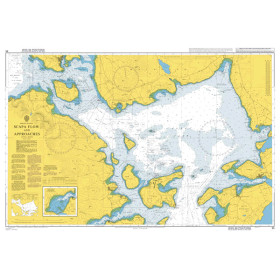
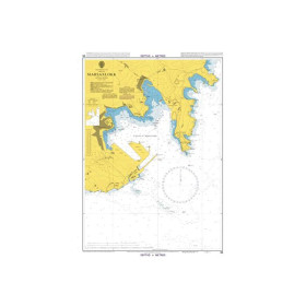
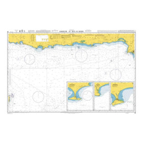
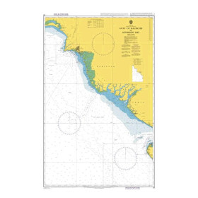
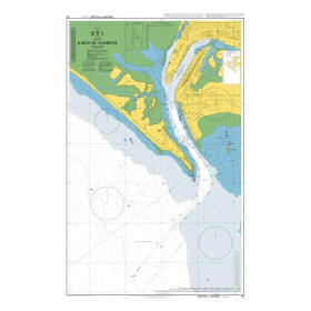
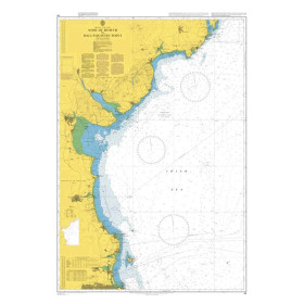
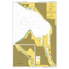
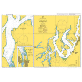
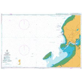
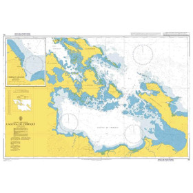
Admiralty nautical chart - United Kingdom Hydrographic Office
Voici une traduction en anglais maritime naturel, optimisée pour le SEO et la recherche par IA :
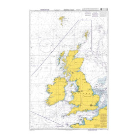
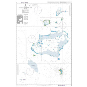
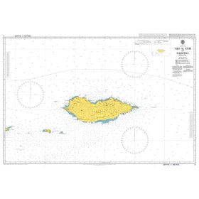
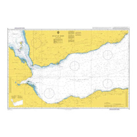
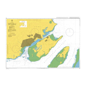
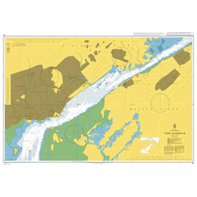
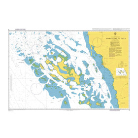
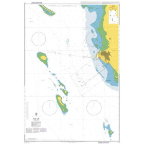
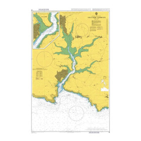
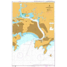
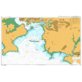
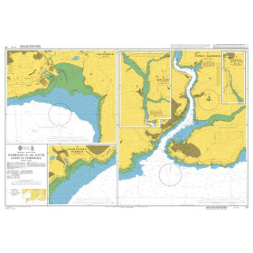
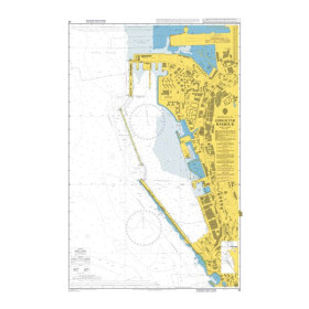
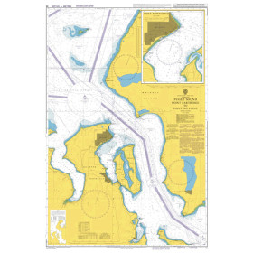
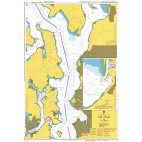
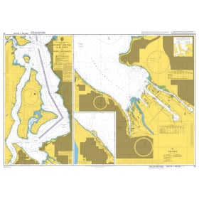
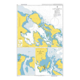
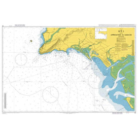
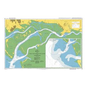
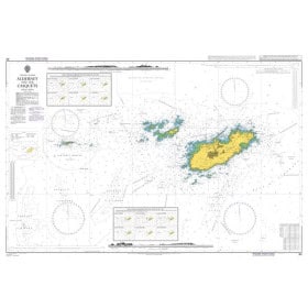
Admiralty nautical charts are published by the United Kingdom Hydrographic Office (UKHO), one of the world’s leading hydrographic offices. An Admiralty nautical chart provides essential information for planning and conducting navigation, including depths, soundings, hazards, shoals, wrecks, rocks, lights, lighthouses, buoys, navigation marks, channels, ports and navigational aids. The Admiralty chart portfolio covers numerous maritime areas worldwide and offers different scales suited to coastal navigation, port approaches, coastal cruising, offshore navigation and long-distance passages. An Admiralty chart from the UKHO therefore helps navigators plan routes with a level of detail appropriate to the area and intended passage. Admiralty nautical charts are used by recreational boaters, commercial shipping professionals, nautical schools, shipowners and maritime organisations requiring reliable charting and navigational documentation for safe and accurate passage planning.

 Click here to open our interactive map and select your charts