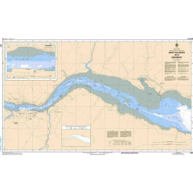
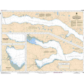
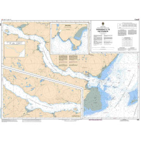
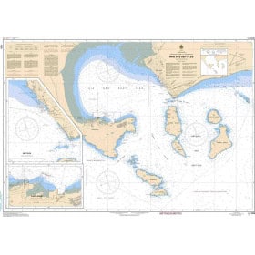
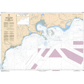
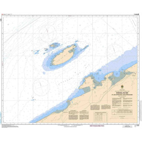
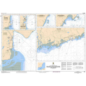
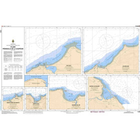
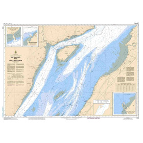
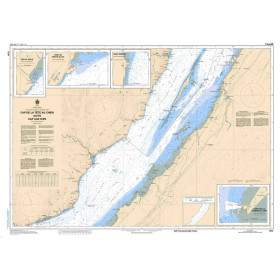
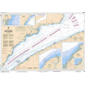
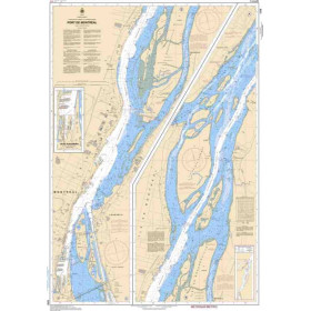
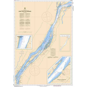
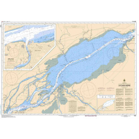
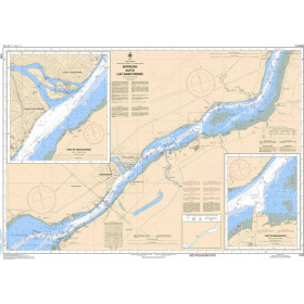
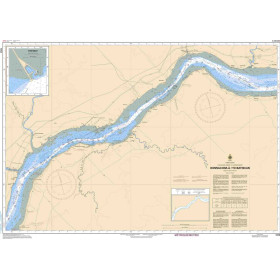
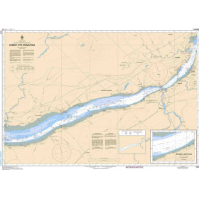
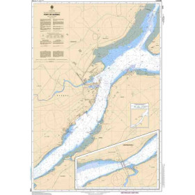
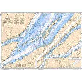
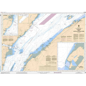
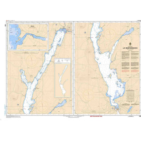
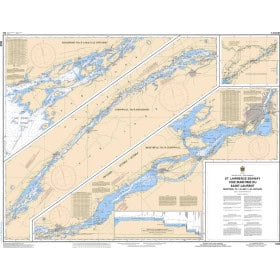
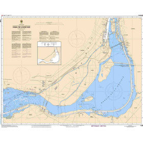
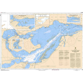
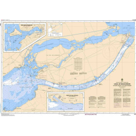
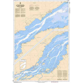
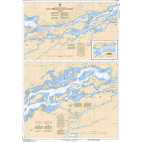
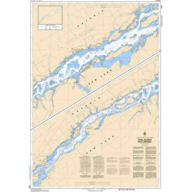
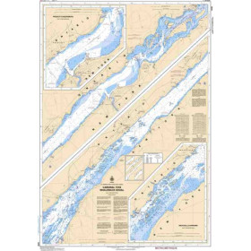
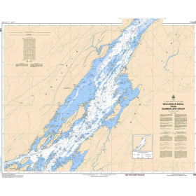
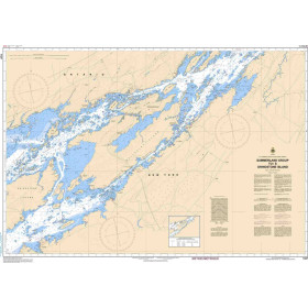
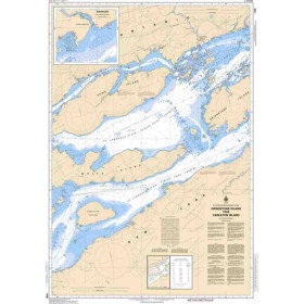
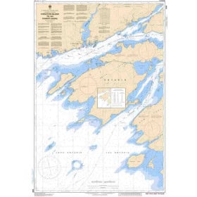
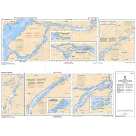
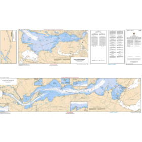
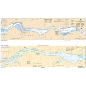
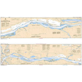
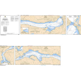
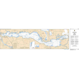
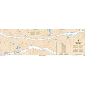
River Chart Canadian Hydrographic Service
Canadian Hydrographic Service (CHS) inland waterway charts are hydrographic publications designed for navigation on major Canadian rivers, lakes, estuaries and navigable waterways. They provide essential information on channels, depths, soundings, buoyage, structures, bridges, docks, ports and access to navigation areas. They can support route planning on the St. Lawrence River, the Great Lakes and other major Canadian waterways, including areas around ports such as Montreal, Quebec City, Toronto and Vancouver, depending on the chart coverage. A CHS inland waterway chart helps navigators assess the hydrographic characteristics of a route and anticipate constraints caused by shallow water, currents, structures and local navigation conditions. These charts are intended for professional navigators, recreational boaters, crews, instructors and navigation schools seeking reliable Canadian hydrographic documentation. They complement other nautical and regulatory publications required for accurate voyage planning and safe navigation in Canadian waters.

 Click here to open our interactive map and select your charts