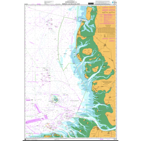
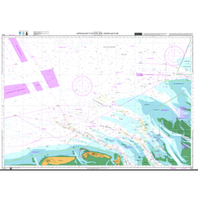
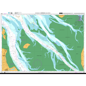
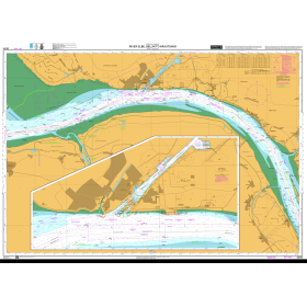
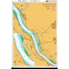
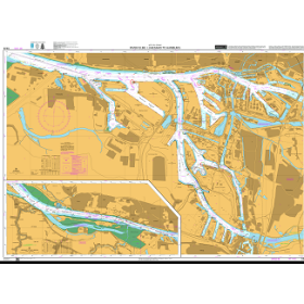
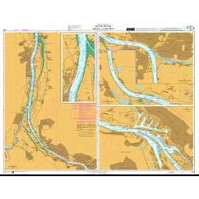
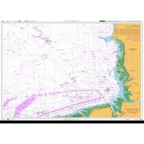
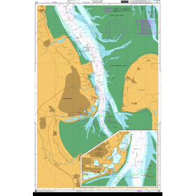
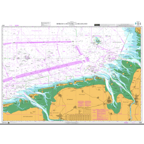
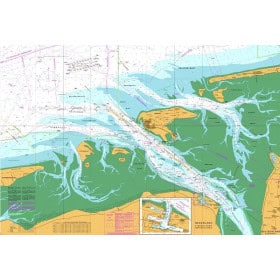
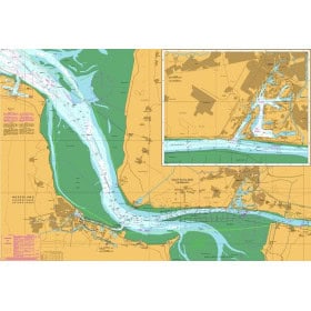
Dutch Hydrographic Office nautical chart
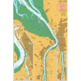
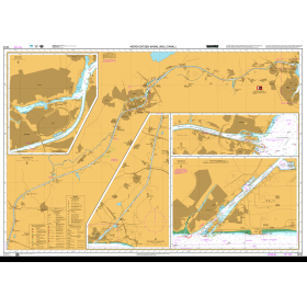
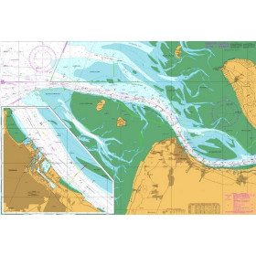
The charts produced by the Dutch Hydrographic Office (DHO) are the official reference for Dutch waters and certain areas of the North Sea, and comply with International Hydrographic Organization (IHO) standards. They enable mariners to plan routes through strong tidal currents and shifting sandbanks, anticipate manoeuvres in some of the world’s busiest shipping lanes, and identify the numerous offshore structures located throughout the North Sea. Primarily intended for professional mariners, pilots, navigation schools and experienced leisure sailors who regularly navigate these waters, they provide detailed information on depths, hazards and aids to navigation using internationally standardised nautical symbology. The DHO ensures frequent updates to the data, which are particularly important in areas affected by shifting sands.

 Click here to open our interactive map and select your charts