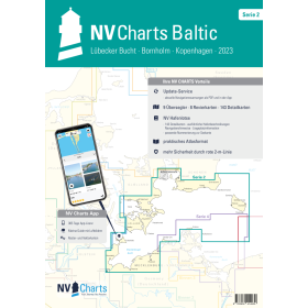
NV Charts nautical chart Baltic sea
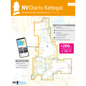
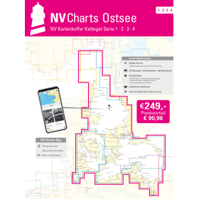
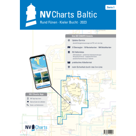
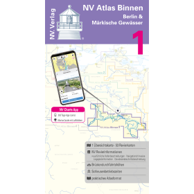
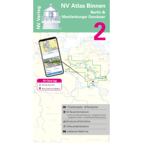
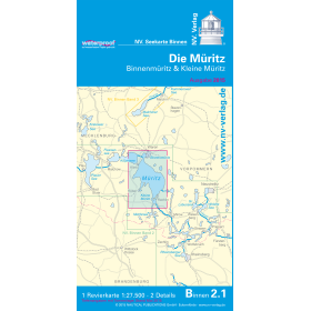
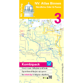
The Baltic Sea, with its complex shallow-water areas, thousands of islands and dense commercial shipping traffic, requires highly accurate nautical documentation. Nautic Way, an authorised NV Charts agent, offers 15 products covering the entire basin: Atlas series charts covering the Kattegat, Kiel Bay, Bornholm, the coasts of Poland and the Baltic States; Pilot charts for passage planning from Kristiansand to Helsinki; and Binnen booklets for inland and lake navigation, including Berlin and Sweden's Göta Canal. For Copenhagen, Atlas Series 2 (Lübecker Bucht–Bornholm–Copenhagen) is the reference folio. The “Kartenkoffer” sets, which combine several series (Ostsee 1 to 4), are ideal for a complete Baltic Sea cruise. Each folio includes bathymetry, aids to navigation, isolated dangers and harbour plans, supported by colour-coded visual references. The strength of NV Charts lies in its hybrid approach: a paper + digital package that can be installed on up to 5 devices and synchronised every 15 minutes. The paper version remains the ultimate backup system in the event of an electrical or electronic system failure.

 Click here to open our interactive map and select your charts