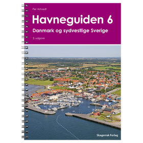
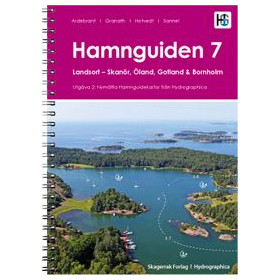
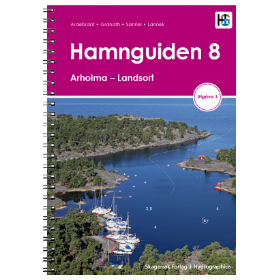
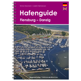
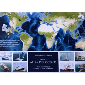
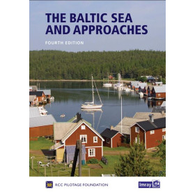
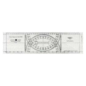
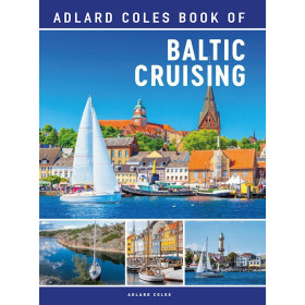
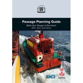
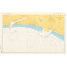
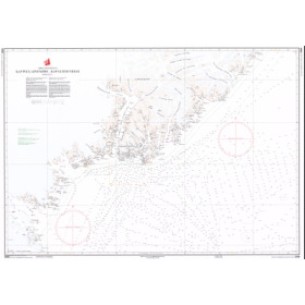
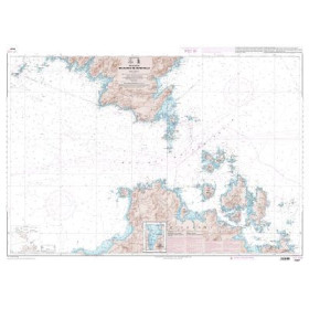
This NV Charts paper navigation chart (folio chart) covers Baltic Sea, the area Lotsenkarte 2, Bornholm bis Haparanda.
Nautical charts from NV Charts primarily cover popular cruising areas for recreational boaters: the North Sea, Baltic Sea, the Atlantic coasts of Europe, the Mediterranean, and selected regions of the Caribbean.
Designed to meet the real-world needs of today’s sailors, these charts stand out for their hybrid approach: they combine traditional paper charts with integrated digital solutions.
Whether you are planning coastal cruising along the Atlantic coast, a Mediterranean voyage, or a more demanding passage in Northern Europe, choosing the right chart is essential. Reliable cartography helps anticipate hazards, secure navigation routes, and comply with maritime regulations.
What is an NV Charts nautical chart used for?
NV Charts are designed as practical navigation tools, both for onboard use and passage planning.
Practical uses
- Coastal navigation: accurate tracking of the coastline with detailed aids to navigation
- Cruising (sail or motor): planning legs and selecting anchorages
- Offshore navigation: routing between distant areas using overview charts
- Port approaches: detailed harbor plans included
- Complex areas: estuaries, archipelagos, and strong current zones
Real-life situations
- Preparing a stopover by identifying port access
- Adjusting course based on shallow areas
- Finding a sheltered anchorage depending on weather
- Navigating at night using lights and leading lines
Added value of NV Charts
Compared to generic charts:
- Organized into coherent regional atlases
- Include multiple scales within one pack
- Often provide digital access via a dedicated app
Result: a comprehensive and structured view of your navigation area.
Who are these charts for?
NV Charts are widely appreciated for their accessibility and versatility.
Beginner sailors
- Clear and user-friendly presentation
- Logical organization of navigation areas
- Ideal for learning coastal navigation
Experienced sailors
- Reliable tool for cruise planning
- Sufficient detail for demanding navigation
Advanced or professional users
- Useful as a complement to official sources
- Suitable for non-regulated recreational navigation
Navigation conditions
- Day sailing: precise visual referencing
- Night sailing: effective interpretation of lights and buoys
- Regular navigation: requires updated editions
- Occasional navigation: simple and complete solution
Compatibility with onboard equipment
NV Charts integrate seamlessly with:
- Marine GPS
- Chartplotters
- NV Charts mobile applications
They support a hybrid navigation approach: paper + digital.
Reading and understanding the chart
A multi-scale approach
NV Charts are structured as atlases including:
- Overview charts: global vision of the area
- Intermediate charts: coastal navigation
- Detailed plans: ports, anchorages, narrow passages
This reduces the need for multiple separate charts.
Key information included
Each chart provides:
- Depths (bathymetry)
- Seabed composition
- Aids to navigation
- Hazards (rocks, wrecks, restricted areas)
- Ports, marinas, and anchorages
- Practical information (facilities, access)
What you need to master
- Understanding nautical symbols
- Reading depths in relation to tides
- Identifying safe routes
- Interpreting additional data (currents, regulations)
Proper chart reading directly impacts onboard safety.
Reliability, updates, and safety
Reliable cartography for recreational use
NV Charts are based on:
- Official hydrographic data
- Regular updates
- Field feedback from sailors
Update system
- New editions released annually
- Corrections integrated into updated versions
- Digital updates available via the app
Ensures consistency with real-world conditions.
GPS compatibility
NV Charts are compatible with the WGS 84 reference system used by GPS devices.
Best safety practices
- Always check the edition date
- Never rely on a single source
- Cross-check paper charts, digital tools, and visual observations
A chart is a decision-making aid, not an absolute truth.
Paper vs digital charts: why choose NV Charts?
Advantages of paper charts
- Fully independent (no power required)
- Immediate overview of the area
- Better route planning and anticipation
The NV Charts advantage: dual format
NV Charts offer:
- Durable paper charts (often waterproof)
- Included mobile application
You benefit from the best of both worlds.
When paper charts remain essential
- Electronic failure
- Long-distance navigation
- Strategic planning
- Navigation training
FAQ – Frequently asked questions about NV Charts
Which NV Charts should I choose?
It depends on your sailing area:
- Atlantic coast ? coastal atlas
- Mediterranean ? regional pack
- Northern Europe ? North Sea / Baltic charts
Choose a pack covering your full itinerary.
Is one NV Charts pack sufficient on its own?
No.
- It should be complemented with GPS or a chartplotter
- Ideally combined with other sources (pilot books, weather data)
How often should these charts be updated?
- Every 1 to 2 years
- Or as soon as a new edition is released
Coastal environments evolve quickly.
Can these charts be used with a GPS?
Yes.
- Compatible with WGS 84
- Ideal for cross-checking electronic navigation
What is the difference between NV Charts and SHOM charts?
- SHOM is the official reference for French waters
- NV Charts are designed for recreational use with a more practical and user-friendly approach
NV Charts are often more accessible, yet complementary.
Are NV Charts suitable for beginners?
Yes, absolutely.
- Clear layout
- Logical structure
- Easy to read
Ideal for learning navigation.
Conclusion
NV Charts nautical charts provide a modern, accessible, and comprehensive approach to marine navigation. With their atlas format, clear presentation, and dual paper + digital support, they perfectly meet the needs of today’s recreational sailors.
Choosing NV Charts through Nautic Way means selecting cartography tailored to real navigation, backed by solid maritime expertise.
At sea, every good decision starts with the right chart.