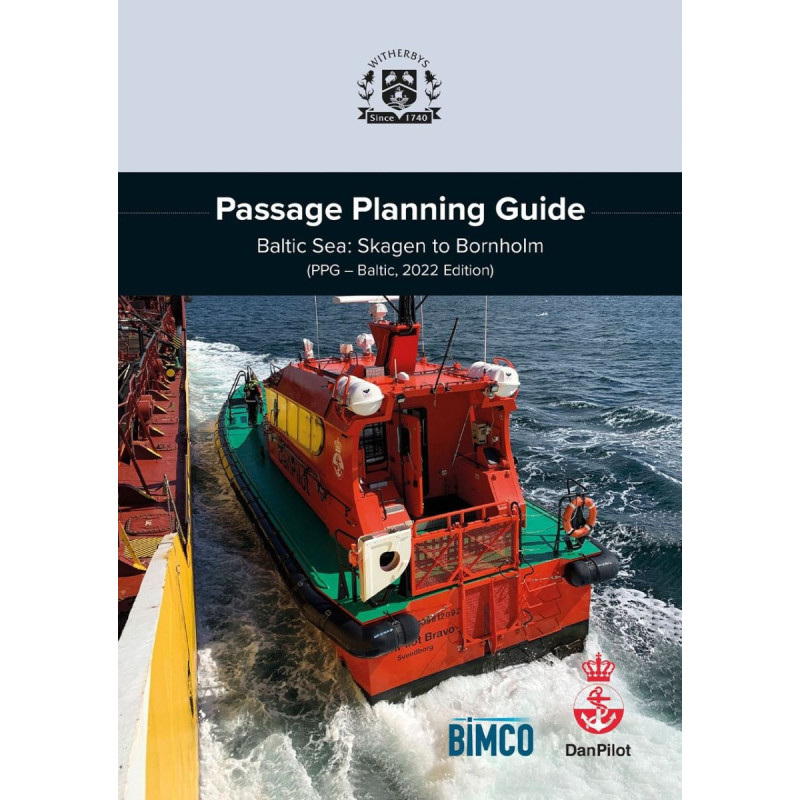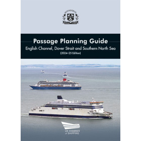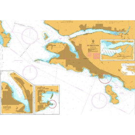



Plan safer voyages through the Baltic Sea’s high-risk zones with this guide. Covers key routes, tidal currents, pilotage rules, and hazard zones from Skagen to Bornholm for efficient navigation.
Data sheet
Specific References
Master the Danish Straits with Confidence
The Baltic Sea’s western approaches rank among the most challenging maritime passages, where shallow depths, powerful currents, and dense traffic demand meticulous planning. This guide equips mariners with the critical knowledge needed to navigate from Skagen to Bornholm safely, combining expert insights with practical tools to minimize risks of grounding or collision. Whether transiting the Great Belt or the Sound, crews gain access to officially endorsed routes, local regulations, and real-time considerations for weather, tides, and vessel traffic.
Trusted by Industry Leaders
Developed in partnership with DanPilot and BIMCO, this publication reflects the collective expertise of pilots, shipowners, and maritime authorities. It goes beyond generic charts by offering annotated satellite imagery, high-risk area (hotspot) analysis, and case studies of past incidents—providing actionable lessons for avoiding common pitfalls. With mandatory pilotage requirements, tidal current data, and bridge clearance details, it ensures compliance with Danish maritime laws while optimizing passage efficiency.
Built for Real-World Operations
From bunkering to Ship-to-Ship (STS) transfers, this guide covers the operational nuances that impact safe navigation. It includes anchorage locations, traffic separation schemes, and communication protocols, all presented in a clear, easy-to-reference format. The 2025 edition incorporates the latest updates, making it the most current resource for vessels transiting this high-stakes region. With 148 pages of expert-curated content, it’s an essential tool for officers and masters tasked with planning voyages through one of the world’s busiest shipping corridors.
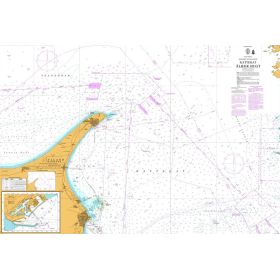
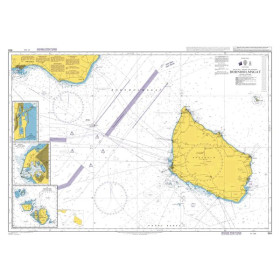
This hardcover guide spans 148 pages, offering a durable and portable format (297 mm x 210 mm) designed for use on the bridge. Weighing 2 kg, it includes detailed charts, satellite imagery, and annotated maps to support real-time decision-making. Published in March 2025, the 2025 edition ensures mariners have access to the most recent navigational data, regulations, and best practices for the Baltic Sea’s western approaches.
With decades of experience in maritime publishing, this publisher is a trusted name among commercial shipping professionals. Their guides are developed in collaboration with industry experts, pilots, and regulatory bodies to deliver accurate, practical, and up-to-date information for safe navigation in high-risk areas worldwide.
The guide covers the Danish straits from Skagen to Bornholm, including the Great Belt (Storebælt) and the Sound (Øresund), providing detailed navigation advice for these high-traffic and challenging waters.
Yes, it provides recommended routes, routing measures, and annotated charts with satellite imagery to assist in safe and efficient passage planning.
Yes, the guide features case studies on groundings and collisions to highlight risks and best practices for navigating this region.
The guide details the mandatory Danish pilotage requirements, including when and where pilotage is compulsory for vessels transiting the region.
The first edition was published in 2022, with subsequent updates,dzy latest edition released in March 2025 to ensure the information remains current and accurate.
The guide measures 297 mm in height, 210 mm in width, with a spine thickness of 40 mm, and weighs 2 kg.
Yes, it includes comprehensive information on tidal currents, climate conditions, and other environmental factors that impact navigation in the region.
You might also like