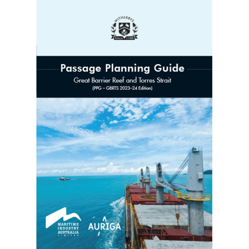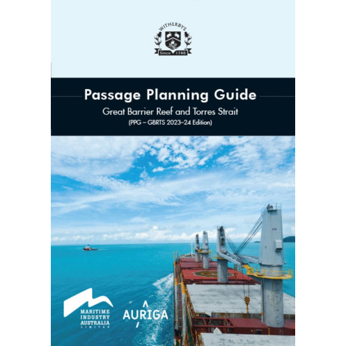



Ensure safe passage through the Great Barrier Reef and Torres Strait with this 2026-27 guide. Features updated charts, checklists, and critical navigation details for compliant and efficient voyages.
Data sheet
Specific References
Navigating the Great Barrier Reef and Torres Strait demands precision, local expertise, and up-to-date information. This guide delivers exactly that—comprehensive, practical, and validated insights tailored for merchant marine professionals. Designed for captains and bridge teams, it transforms complex routing challenges into clear, actionable strategies for safe and compliant passage planning.
Developed in collaboration with Auriga Pilots, this guide integrates real-world pilotage expertise with the latest hydrographic and regulatory updates. It consolidates critical information into a single, easy-to-reference resource, eliminating the need to cross-check multiple publications. From satellite imagery-enhanced chartlets to accident-based case studies, every detail is curated to enhance situational awareness and decision-making in one of the world’s most intricate maritime environments.
Beyond theoretical guidance, this guide equips bridge teams with ready-to-use tools. Detachable chartlets allow for real-time reference during transit, while perforated pre-entry bridge team meeting checklists streamline preparation. Updated sections on REEFREP/REEFVTS reporting, controlled depths in the Inner Route, and Hydrographers Passage ensure compliance with Australian maritime regulations. Traffic hotspots, draft limitations, and ECDIS considerations are clearly mapped, reducing the risk of miscalculation in narrow or congested waters.
Safety and regulatory adherence are non-negotiable in these waters. This guide addresses key compliance areas, including MARPOL zone requirements, ballast water management, and mandatory reporting protocols. By integrating lessons from past incidents, it helps crews anticipate hazards and implement proactive measures. Whether navigating the Inner Route or transiting Torres Strait, the guide’s structured approach minimizes operational risks while optimizing efficiency.
With a durable, large-format design (305 mm x 255 mm), this guide is built for frequent use in bridge environments. Its 148 pages are organized for quick access, with visual aids like navigation mark photos and satellite imagery enhancing clarity. The 2026-27 edition reflects the latest hydrographic surveys and regulatory changes, ensuring crews have the most current data available. For merchant vessels operating in Australian waters, this guide is an indispensable companion for safe, compliant, and efficient passage planning.
Navigate the Great Barrier Reef and Torres Strait with Confidence
Passage planning in the Great Barrier Reef and Torres Strait is a high-stakes operation where precision and local knowledge make the difference between smooth transit and costly delays—or worse. This guide is engineered to meet those challenges head-on, offering merchant marine professionals a single, authoritative resource for safe, compliant, and efficient navigation. With data validated by Auriga Pilots and structured for real-world use, it bridges the gap between global maritime standards and the unique demands of Australian waters.
From Theory to Practice: Tools for Every Phase of Transit
This isn’t just another nautical publication—it’s a hands-on toolkit. The guide includes detachable chartlets with satellite imagery for real-time reference, perforated checklists for pre-entry bridge team meetings, and detailed case studies drawn from actual incident reports. Updated sections cover critical areas like REEFREP/REEFVTS reporting, Hydrographers Passage, and controlled depths in the Inner Route, ensuring crews can adapt to evolving conditions without second-guessing. Traffic hotspots, draft limitations, and ECDIS considerations are clearly outlined, reducing the margin for error in narrow or congested channels.
Compliance Without Compromise
Australian waters come with stringent regulatory requirements, from MARPOL zone restrictions to ballast water management and mandatory reporting. This guide consolidates all compliance-critical information into one resource, eliminating the need to cross-reference multiple documents. It also addresses risk mitigation with practical insights, such as accident-based case studies, to help crews anticipate and avoid common pitfalls. Whether navigating the Inner Route or transiting Torres Strait, the guide ensures adherence to local and international standards while optimizing operational efficiency.
Built for the Bridge, Backed by Experts
Designed for durability and ease of use, this 148-page guide features a large format (305 mm x 255 mm) ideal for bridge environments. Visual aids like navigation mark photos and satellite-enhanced chartlets enhance clarity, while the 2026-27 edition reflects the latest hydrographic surveys and regulatory updates. For captains and bridge teams, this guide is more than a reference—it’s a critical asset for navigating one of the world’s most complex maritime regions with confidence.
This 2026-27 edition of the Passage Planning Guide for the Great Barrier Reef and Torres Strait is a 148-page printed resource, measuring 305 mm in height and 255 mm in width. Weighing 1.7 kg, it is designed for durability and ease of use in bridge environments, with features like detachable chartlets and perforated checklists for real-time application.
With decades of expertise in maritime publications, this publisher is a trusted name among merchant marine professionals. Specializing in practical, compliance-focused guides, their resources are developed in collaboration with industry experts, including pilots and regulatory bodies, to ensure accuracy and real-world applicability. Their publications are widely used by captains and bridge teams navigating high-risk or heavily regulated waters worldwide.
The guide covers navigation through the Great Barrier Reef and Torres Strait, including detailed chartlets, traffic hotspots, and key navigational markers.
Yes, the guide includes extractable chartlets designed for real-time use during passage planning and navigation.
The guide measures 305 mm in height, 255 mm in width, and weighs 1.7 kg.
Yes, it features case studies based on accident reports to enhance situational awareness and safety.
The latest edition includes a new chart for Hydrographers Passage, an expanded section on REEFREP/REEFVTS reporting, and an overview of controlled depths in the Inner Route.
Yes, it includes two perforated checklists for pre-entry bridge team meetings to ensure thorough preparation.
Yes, it provides information on ECDIS and other navigational tools to support safe passage planning.
You might also like