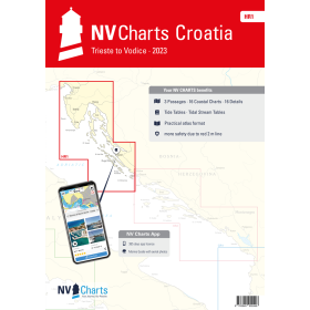
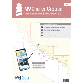
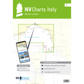
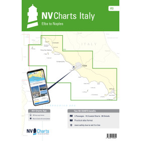
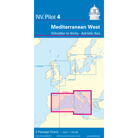
NV Charts nautical chart Mediterranean, Black &nd Marmara seas
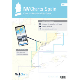
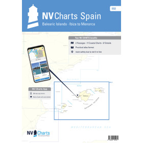
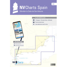
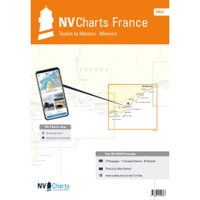
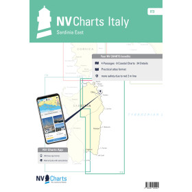
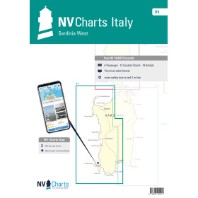
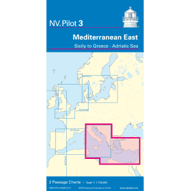
The Mediterranean basin, including the Sea of Marmara and the Black Sea, is one of the most diverse and demanding sailing areas in the world. NV Charts folios cover the entire basin through a range of regional series: FR 9 (Cabo Creus to Toulon), FR 10 (Toulon to Menton), FR 11 (Corsica), IT 1 to IT 4 (the Italian coast and Sardinia), ES 2 (the Balearic Islands), the GR and HR series (Greece and Croatia), and Pilot 3 and 4 charts for offshore passage planning. Each folio combines several charts at different scales in a single bound booklet, with colour-coded visual references and scale tabs, providing detailed information on bathymetry, aids to navigation, isolated dangers and harbour plans. The strength of NV Charts lies in its hybrid approach: a paper + digital package that can be installed on up to 5 devices and synchronised every 15 minutes, with Navigator Light software included. The paper version remains the ultimate backup system in the event of an electrical or electronic system failure, particularly in demanding marine environments.

 Click here to open our interactive map and select your charts