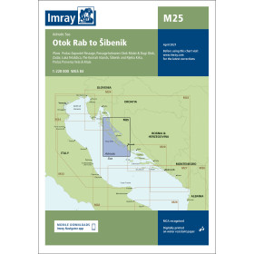
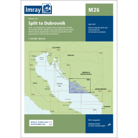
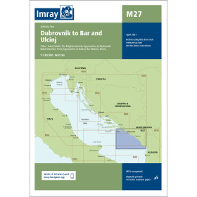
I am sailing in Croatia
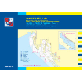
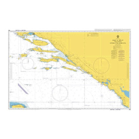
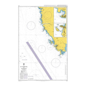
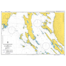
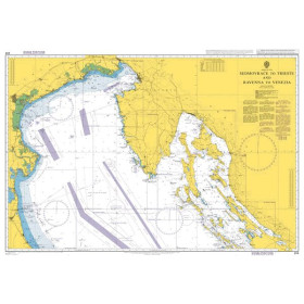
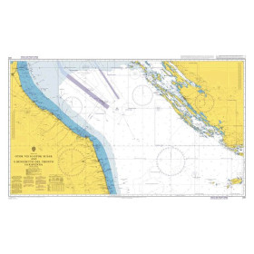
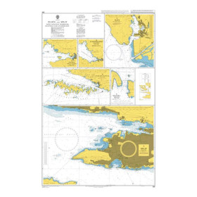
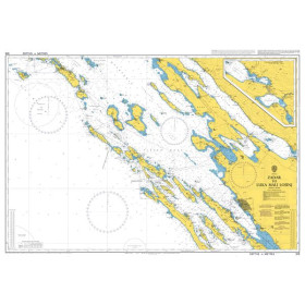
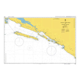
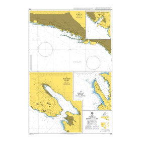
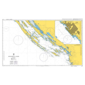
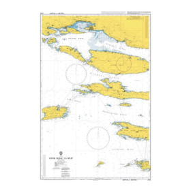
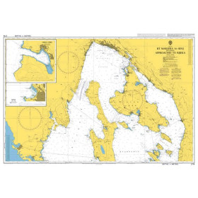
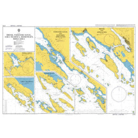
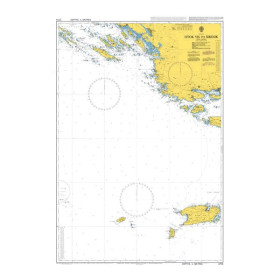
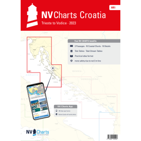
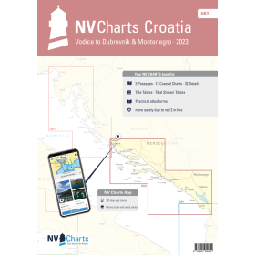
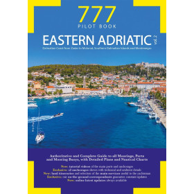
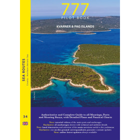
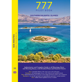
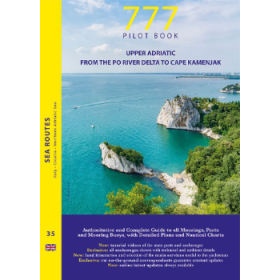
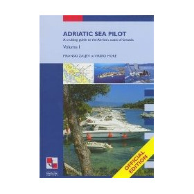
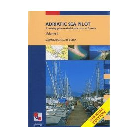
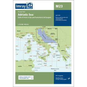
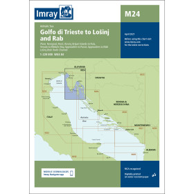
The category “I navigate in Croatia” brings together nautical charts, cruising guides and essential documents for planning navigation along the Croatian coast and in the Adriatic Sea. It covers Istria, the Kvarner Gulf, Dalmatia and the many Croatian archipelagos, with destinations such as Pula, Rijeka, Zadar, Šibenik, Split, Dubrovnik, Hvar, Korčula and Vis. Find detailed nautical charts for planning a cruise in the Adriatic, coastal navigation, a passage towards Montenegro, Italy or Slovenia, as well as approaches to ports, marinas and anchorages. Nautic Way offers charts and guides from publishers and brands including Imray, Admiralty, Navionics, C-MAP and the Croatian Hydrographic Institute (HHI). These documents provide essential information on depths, hazards, buoyage, islands, channels, ports and anchorages, helping sailors plan their navigation route efficiently and safely in Croatia.

 Click here to open our interactive map and select your charts