")

")


Data sheet
Specific References
 100% secure payments


You might also like
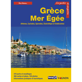
French language nautical guide
Depuis le retour de la paix et de la stabilité politique, l'Adriatique est redevenue une destination touristique majeure, mais malgré cette popularité grandissante on trouve encore des mouillages tranquilles et bien protégés. Le changement le plus remarquable, cependant, c'est celui de la population des anciennes régions communistes de la Yougoslavie, plus aimable, plus accueillante et serviable. Souriants, les habitants bavardent volontiers, même sur des sujets " chauds " comme la politique ou les guerres récentes.Les Bouches de Kotor, Dubrovnik, Venise sont des sites mondialement connus, mais nombre d'autres cites médiévales ou de sites préservés jalonnent la côte qui a gardé tout son charme. Cette nouvelle édition comporte de nombreux nouveaux plans et photographies ainsi que la description des services très complets offerts aux plaisanciers. C'est le guide incontournable pour découvrir ce magnifique bassin de croisière qui s'étend de l'Albanie à l'Italie.
Dinan et Trevor Thompson naviguent ensemble depuis plus de trente ans. Ils préfèrent l'exploration méthodique des petites criques et les mouillages tranquilles aux longues traversées océaniques.Leur choix de petits croiseurs transportables leur a permis d'explorer la plupart des bassins de croisière d'Europe, mais l'Adriatique, et tout particulièrement les îles croates, constituent de loin leur zone de navigation préférée, qu'ils viennent à nouveau de parcourir pour remettre à jour cette édition.
550 ports et mouillages, 455 photos, informations pratiques et touristiques.
Editeur : Vagnon
Langue : Français
Format : 21 X 29,7 cm
Nbre de pages : 456
Code ISBN : 2-85725-811-7
")