")

")


Data sheet
Specific References
 100% secure payments


You might also like
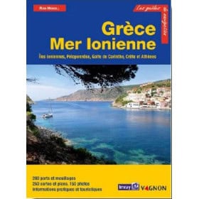
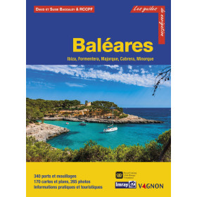
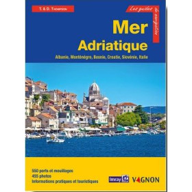
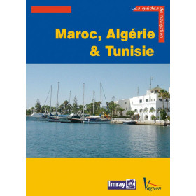
French language nautical guide
Nul besoin d'aller à l'autre bout du monde pour trouver des eaux turquoises, des paysages sauvages et des plages superbes : le bassin de croisière constitué par la Corse, la Sardaigne et les îles toscanes offre tout cela. Même avec un temps limité, il est possible d'explorer la côte ouest de la Corse et le nord de la Sardaigne avant de rejoindre le continent via les îles toscanes, qui constituent des étapes idéales pour regagner son port d'attache, en alternative à la côte est de la Corse. Avec plus de temps, on appréciera les côtes sud et ouest de la Sardaigne, encore peu fréquentées, aux ports et mouillages exceptionnellement beaux.
La Corse, à environ 100 milles des côtes françaises, est plus proche de l'Italie que de la France. Après une courte traversée depuis le continent, les montagnes fournissent un des arrière-plans les plus impressionnants de la Méditerranée. Les amoureux de mouillages situés dans des cadres grandioses seront comblés ! Plus au sud, coupé de l'intérieur par des montagnes et des ravins, Girolata constitue un must pour toute croisière en Corse. Bonifacio est célèbre par sa vieille ville, en partie perchée sur un énorme balcon naturel surplombant la mer. Sa calanque constitue l'un des plus remarquables ports naturels de Méditerranée, connu depuis l'Antiquité. Les Lavezzi avec leurs spectaculaires chaos de rochers, Porto-Vecchio et son golfe, le cap Corse et ses villages austères, sont autant d'autres aspects variés que le plaisancier sera le mieux à même d'apprécier.
Deuxième île de Méditerranée après la Sicile, la Sardaigne est restée pour beaucoup une destination méconnue. L'archipel de La Maddalena avec ses îles de granit rouge couvertes de maquis offre de nombreux mouillages et la mer y est partout turquoise et incroyablement claire. Plus au sud, de nouvelles marinas alternant avec de vieux villages de pêcheurs pleins de charme constituent autant d'étapes sur une côte autrefois dépourvue d'abri sûr.
Entre Italie et Corse, les îles toscanes constituent un lieu de croisière apprécié et vous pourriez bien y passer plus de temps que prévu, tant leur charme est grand ! Portoferraio - où vous pourrez visiter la maison de Napoléon - et Porto Azzuro, dominés par leurs citadelles, sont de purs joyaux où boutiques et restaurants bordent le dédale de ruelles et d'escaliers. Montecristo, rendue célèbre par Alexandre Dumas, est maintenant une réserve naturelle, tout comme Giannutri, ancien volcan dont une partie du cratère effondré offre désormais un superbe mouillage
Dans cette nouvelle édition entièrement mise à jour, 300 ports et mouillages sont décrits, illustrés par 110 photos et 220 plans et cartes actualisés. Les nouvelles réserves marines et leur réglementation sont décrites en détail.
Rod Heikell sillonne les côtes et les îles méditerranéennes depuis plus de 20 ans. Il est l'expert reconnu en matière de navigation en Méditerranée. Ses guides sont devenus le modèle de beaucoup d'autres et sont une référence. Depuis le premier, Greek Waters Pilot, publié en 1982 et qui en est maintenant à sa dixième édition, il en a écrit une douzaine d'autres, mais la Méditerranée reste son bassin de croisière favori. Il travaille actuellement à plusieurs livres dont un sur les stratégies de croisière, en même temps qu'il met à jour sa série de guides. Préférant le "rase-cailloux", aux longues traversées, il navigue en compagnie de son épouse Lu, de musique rock et de plein de livres !
Editeur : Vagnon
Langue : Français
Format : 21 x 28,5 cm
Nbre de pages : 248
Code ISBN : 1-02710-047-7
")