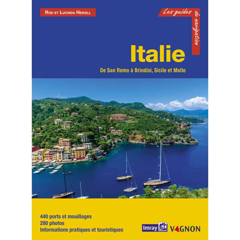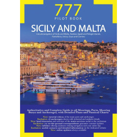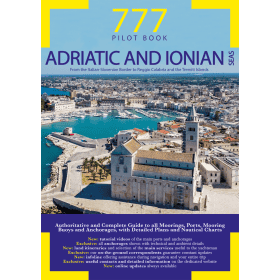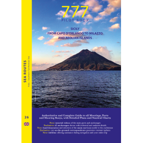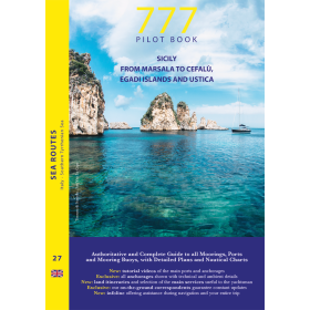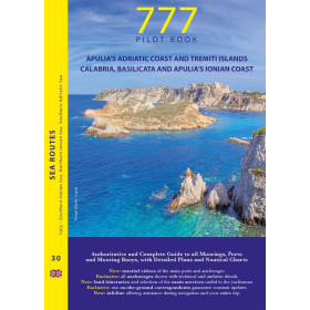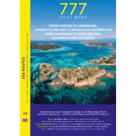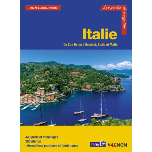




Your essential guide to Italy’s coast from San Remo to Brindisi, Sicily, and Malta. Covers 436 ports, 273 photos, and expert tips for safe navigation, mooring, and shore exploration.
Data sheet
Specific References
Navigate the stunning Italian coastline with confidence using this comprehensive cruising guide, meticulously crafted for sailors and boaters. Covering over 1,200 nautical miles of breathtaking shoreline, this guide is your key to unlocking the best of the Mediterranean—from the glamorous harbors of the Ligurian coast to the historic ports of Sicily and the sun-drenched shores of Malta. Whether you're planning a leisurely cruise or an adventurous voyage, this guide provides everything you need to explore with ease and precision.
This guide offers an exhaustive exploration of Italy’s western and southern coasts, including the Ligurian Sea, Tuscan Archipelago, Tyrrhenian coast, Sicily in its entirety, Malta, the Ionian Sea, and part of the southern Adriatic. With detailed descriptions of 436 ports and anchorages, you’ll have access to insider knowledge on the best spots to drop anchor, dock, or simply admire the view. Each entry is enriched with 273 high-quality photos, maps, and plans, ensuring you can visualize your journey before you even set sail.
Safety and convenience are at the heart of this guide. Every port, island, and bay is accompanied by clear instructions for both daytime and nighttime approaches, so you can navigate with confidence regardless of the conditions. Whether you're seeking a quiet cove for an overnight stay or a bustling marina with all the amenities, this guide provides the critical details you need—from mooring options and docking procedures to local services and shore-based attractions.
Beyond navigation, this guide is your go-to resource for making the most of your time ashore. Discover the best local restaurants, cultural landmarks, and hidden gems at each destination. Learn about available facilities, such as fuel stations, water refill points, and repair services, so you can plan your stops efficiently. With this guide in hand, you’ll not only sail smarter but also experience the rich culture and beauty of Italy and Malta like a local.
Created with the needs of cruisers in mind, this guide is packed with practical tips and insights to enhance your journey. The clear, user-friendly layout ensures you can quickly find the information you need, whether you're plotting your next course or looking for the best place to dine. Updated regularly and backed by decades of nautical expertise, this guide is an indispensable tool for anyone exploring the Mediterranean’s most captivating waters.
To ensure you always have the latest information, updates for this guide are available via email. Stay ahead of changes in port regulations, new services, or other essential details that could impact your voyage. With this guide, you’re not just buying a book—you’re investing in a seamless, stress-free cruising experience.
Explore Italy and Malta with the Ultimate Cruising Companion
Set sail along Italy’s breathtaking coastline with this all-in-one cruising guide, designed to transform your Mediterranean adventure into an unforgettable journey. Covering over 1,200 nautical miles from San Remo to Brindisi, including Sicily and Malta, this guide is your passport to discovering hidden coves, historic ports, and vibrant coastal towns. Whether you're a seasoned sailor or a weekend cruiser, this meticulously crafted guide provides the tools you need to navigate with confidence and explore with ease.
Comprehensive Coverage of 436 Ports and Anchorages
Dive into detailed descriptions of 436 ports and anchorages, each accompanied by 273 high-resolution photos, maps, and plans. From the glamorous marinas of the Ligurian coast to the secluded bays of Sicily and the historic harbors of Malta, this guide leaves no stone unturned. Every entry includes essential information on approaches, mooring options, local services, and shore-based attractions, ensuring you’re always prepared—whether you’re docking for the night or planning a day ashore.
Navigate with Precision, Day or Night
Safety is paramount, which is why this guide provides clear, step-by-step instructions for both daytime and nighttime navigation. Learn the best routes to take, potential hazards to avoid, and the most efficient ways to enter and exit each port. With this guide, you’ll have the confidence to navigate even the trickiest waters, no matter the time of day.
Practical Insights for Every Stop
Beyond navigation, this guide is packed with practical tips to enhance your cruising experience. Discover the best local restaurants, cultural sites, and hidden gems at each destination. Get the lowdown on essential services like fuel stations, water refill points, and repair facilities, so you can plan your stops efficiently. Whether you’re looking for a quiet anchorage or a lively marina, this guide has you covered.
Built for Sailors, Backed by Expertise
Designed with the needs of cruisers in mind, this guide combines decades of nautical expertise with a user-friendly layout. The 424-page paperback is easy to navigate, with clear headings and visuals to help you find information quickly. Updated regularly and available in French, it’s the perfect companion for anyone exploring the Mediterranean’s most iconic waters.
This comprehensive cruising guide spans 424 pages, offering detailed coverage of Italy’s coastline from San Remo to Brindisi, including Sicily and Malta. Measuring 21 x 28.5 cm and weighing just 0.9 kg, it’s designed for easy handling on board. The guide includes 273 photos, maps, and plans, along with descriptions of 436 ports and anchorages, making it an indispensable resource for sailors and boaters.
With a legacy spanning decades, this publisher is a global leader in nautical cartography and cruising guides. Renowned for their precision, reliability, and attention to detail, their guides are trusted by sailors worldwide to navigate some of the most challenging and beautiful waters on the planet. Each publication is crafted with the needs of cruisers in mind, combining expert knowledge with practical insights to ensure a seamless and enjoyable sailing experience.
The guide covers the Italian coastline from San Remo to Brindisi, including the Ligurian coast, Tuscan islands, and adjacent coast from Marina di Carrara to Porto Ercole. It also includes all coasts of Sicily and Malta, the Ionian coast up to Santa Maria di Leuca, and part of the southern Adriatic coast from Santa Maria di Leuca to Brindisi.
The guide provides detailed information on 436 ports and anchorages.
Yes, the guide includes 273 photos, maps, and detailed plans to assist with navigation and port information.
For each port, island, or bay, the guide offers a complete description, cartography, day and night approach instructions, mooring and anchoring details, available equipment, services, and suggestions for onshore visits.
Yes, updates are available by emailing contact@vagnon.fr.
The guide measures 21 x 28.5 cm and weighs 0.9 kg.
This edition was published in 2020/2021, with a release date of November 20, 2020.
You might also like