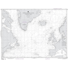
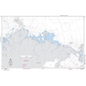
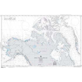
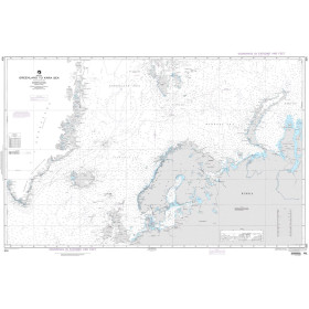
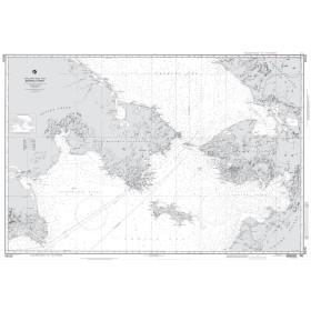
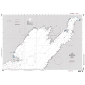
NGA nautical chart Arctic ocean
NGA nautical charts of the Arctic Ocean are essential nautical reference documents for planning and securing navigation in polar regions. They cover ocean routes, coastal areas, port approaches and Arctic navigation zones, with information on depths, shoals, sea ice, hazards, wrecks, aids to navigation and maritime infrastructure. These NGA nautical charts are particularly suitable for experienced navigators, commercial vessels, military ships, scientific vessels, fishermen and polar expeditions. They complement electronic charts and other official nautical publications when planning an Arctic voyage, assessing risks, selecting a route and ensuring reliable charting documentation is available on board, adapted to extreme navigation conditions.

 Click here to open our interactive map and select your charts