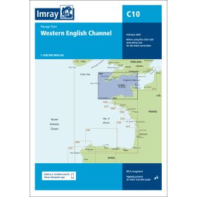
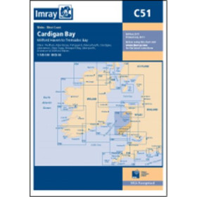
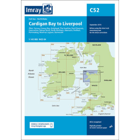
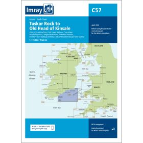
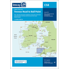
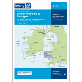
Imray nautical chart Irish sea
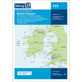
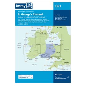
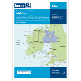
The Irish Sea is a demanding sailing area, characterised by powerful currents, significant tidal ranges and frequently changing weather conditions, where cartographic accuracy is essential. Nautic Way, an authorised Imray agent, offers charts covering the entire area: regional chart C62 (Irish Sea) for overall planning, coastal charts for areas with strong currents such as St George’s Channel (C61) and the Bristol Channel (C59), detailed charts for the rocky areas between Tuskar Rock and Old Head of Kinsale (C57), and harbour plans for complex areas such as Milford Haven (Y26) and the Isle of Man (Y70). Each chart includes waypoints, GPS coordinates, regulated areas and currents, with standardised symbols that make them easy to read both day and night. Printed on moisture-resistant paper, they provide an ultimate backup navigation system with no dependence on electrical power.

 Click here to open our interactive map and select your charts