I am sailing in Greece
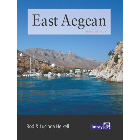
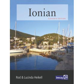
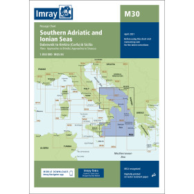
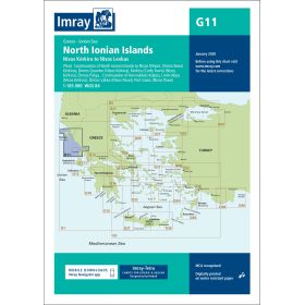
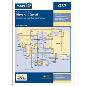
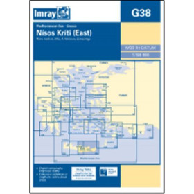
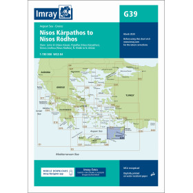
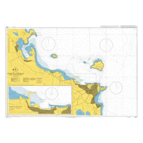
The category “I navigate in Greece” brings together nautical charts, cruising guides and essential documents for planning navigation in the Aegean Sea, Ionian Sea and Mediterranean Sea. It covers the main Greek cruising areas, including the Cyclades, the Dodecanese, the Ionian Islands, the Saronic Gulf, the Gulf of Corinth and Crete. Find nautical charts covering Athens, Piraeus, Corfu, Patras, Lefkada, Preveza, Rhodes, Kos, Mykonos, Santorini, Heraklion and Chania. These documents are suitable for sailing cruises, coastal navigation, island-hopping and passages towards Turkey, Italy or Cyprus. Nautic Way offers charts and guides from publishers and brands including Imray, Admiralty, Navionics, C-MAP and the Hellenic Navy Hydrographic Service (HNHS). They provide essential information for planning routes, anchorages, ports, marinas, channels, depths, hazards, buoyage and other information required for navigation in Greece.

 Click here to open our interactive map and select your charts



![Greece sea guide - vol I - Saronic and Argolic gulfs, Cyclades, Crete [Eagle Ray]](https://www.nautic-way.com/98226-home_default/pil3201-greece-sea-guide-vol-i-saronic-and-argolic-gulfs-cyclades-crete-eagle-ray.jpg)
![Greece sea guide - vol II - Evvoia, Sporades, north Aegean [Eagle Ray]](https://www.nautic-way.com/90781-home_default/pil3202-greece-sea-guide-vol-ii-evvoia-sporades-north-aegean-eagle-ray.jpg)
![Greece sea guide - vol III - Ionian Sea, Peloponnisos (except e ast coast) [Eagle Ray]](https://www.nautic-way.com/90782-home_default/pil3201-greece-sea-guide-vol-i-saronic-and-argolic-gulfs-cyclades-crete-eagle-ray.jpg)
![Greece sea guide - vol IV - eastern Aegean, Dodecanese [Eagle Ray]](https://www.nautic-way.com/90784-home_default/pil3204-greece-sea-guide-vol-iv-eastern-aegean-dodecanese-eagle-ray.jpg)