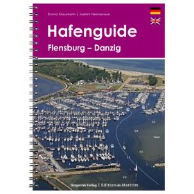
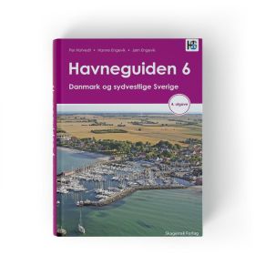
Pilot NV Charts
The NV Charts guide is nautical documentation designed for sailors who want to plan their navigation, cruises and stopovers using practical information about the areas covered by the German publisher NV Charts. These guides support sailing in areas including the Baltic Sea, North Sea, English Channel, Atlantic Ocean, Mediterranean Sea and certain regions of Northern and Southern Europe. They help sailors plan stopovers in ports such as Hamburg, Kiel, Copenhagen, Amsterdam, Brest, La Rochelle, Marseille, Palma de Mallorca or Dubrovnik. For comprehensive voyage planning, an NV Charts guide complements NV Charts paper and digital nautical charts, as well as publications from Shom, Admiralty or Imray. Information on ports, anchorages, approaches, channels, navigation marks and local features helps sailors plan coastal or offshore routes. Suitable for both sailing and motor cruising, the NV Charts guide provides useful supplementary documentation to nautical charts for accurately planning a cruise and organizing stopovers.