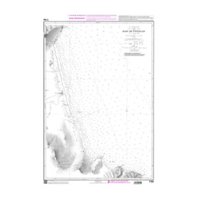
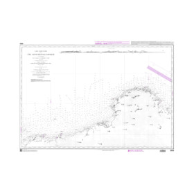
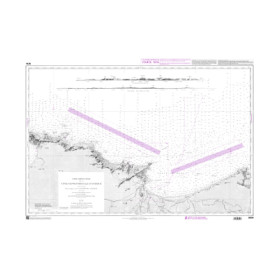
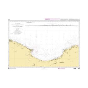
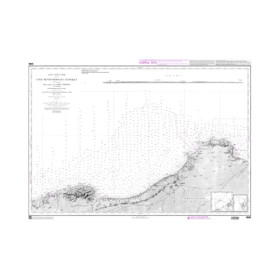
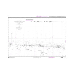
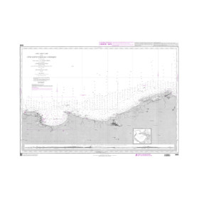
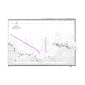
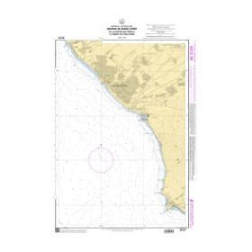
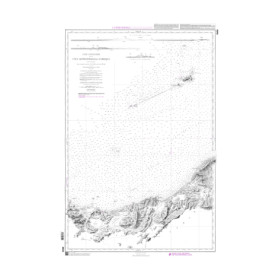
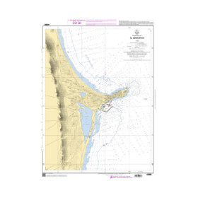
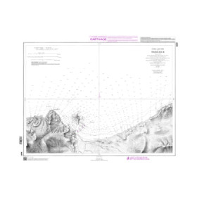
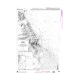
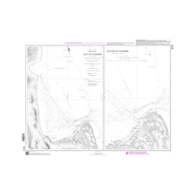
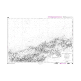
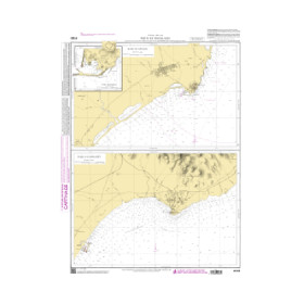
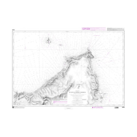
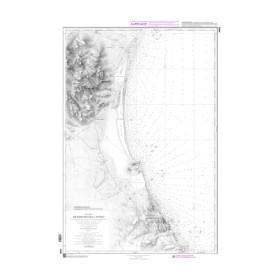
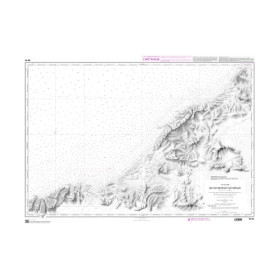
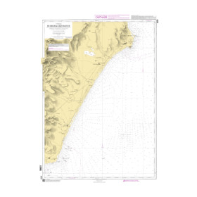
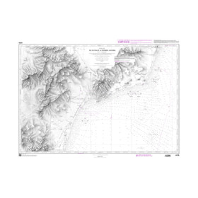
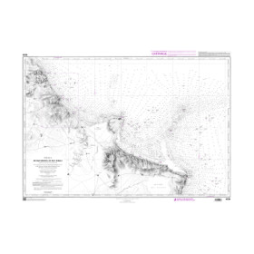
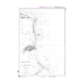
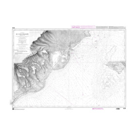
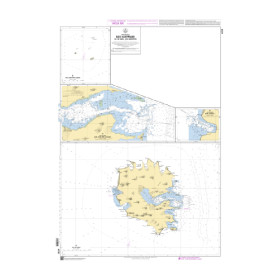
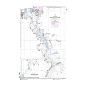
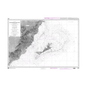
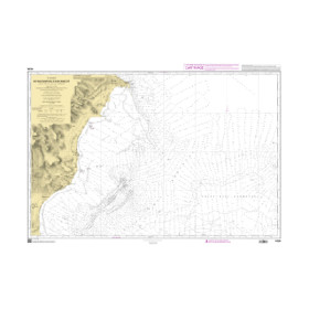
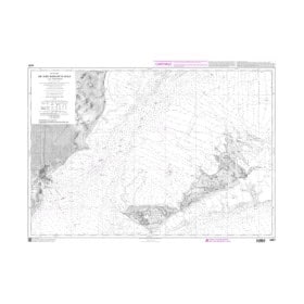
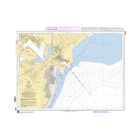
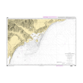
Shom C nautical chart: (rolled chart)
Shom C nautical charts, supplied as rolled paper charts, are designed for recreational sailors, professional mariners and navigators seeking accurate nautical cartography to plan their voyages. Printed on high-quality paper, these charts are supplied uncreased in a protective tube. They cover the English Channel, Atlantic Ocean, Mediterranean Sea, North Sea, Caribbean Sea and French overseas territories. Discover Shom C nautical charts for sailing from Brest, Cherbourg, Saint-Malo, La Rochelle, Bordeaux, Marseille, Toulon, Ajaccio or Fort-de-France. Available at various scales, they show water depths, navigational hazards, channels, anchorages and harbour approaches. Nautic Way Maritime Bookstore, an authorised Shom distributor, offers up-to-date paper nautical charts that complement Shom nautical publications and Admiralty, Imray and NV Charts. These rolled nautical charts are suitable for coastal navigation, offshore sailing and ocean crossings.

 Click here to open our interactive map and select your charts