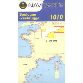
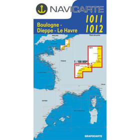
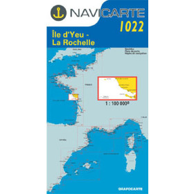
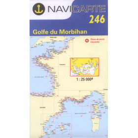
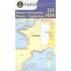
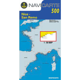
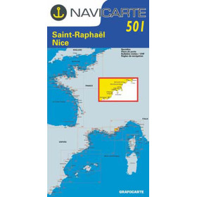
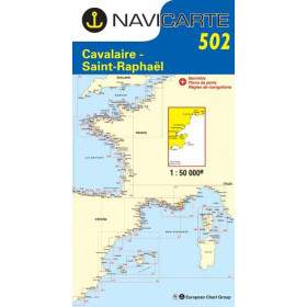
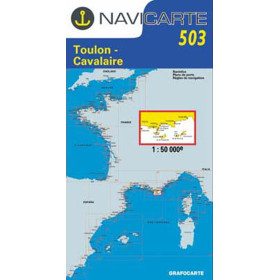
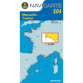
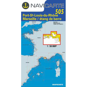
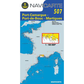
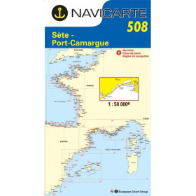
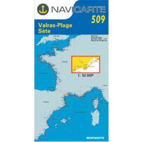
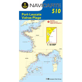
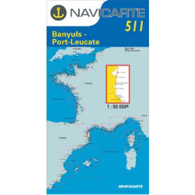
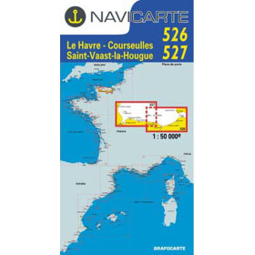
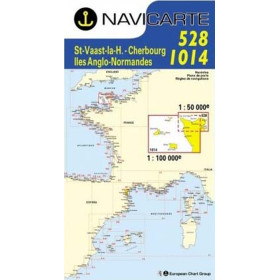
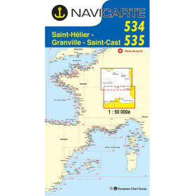
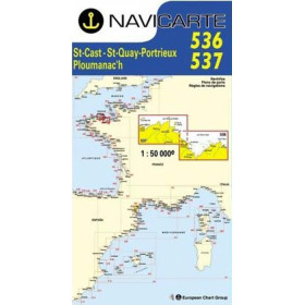
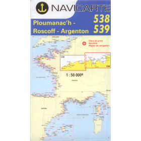
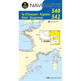
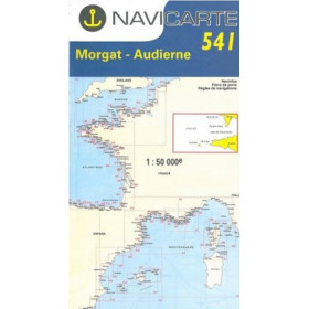
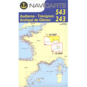
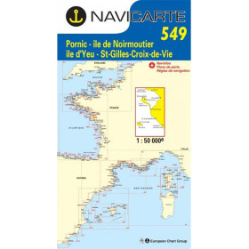
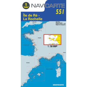
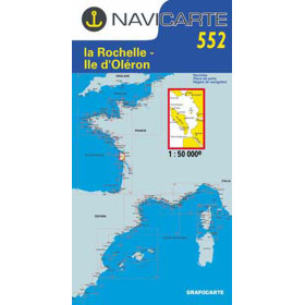
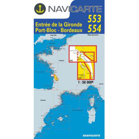
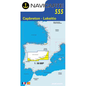
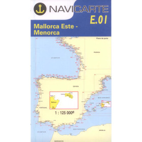
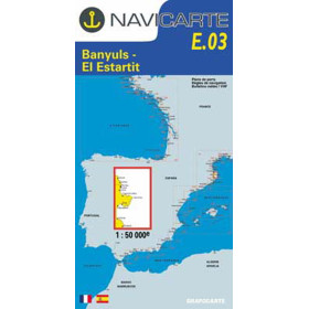
Navicarte nautical chart (folded chart)
The Navicarte folded nautical chart is designed for recreational sailing, coastal cruising and passage planning. Printed in a large format, it provides a clear and detailed representation of the coastline, ports, anchorages, channels, buoyage, hazards, soundings and regulated areas. Navicarte charts are based on official hydrographic data adapted for practical use by recreational sailors. Their graphic layout makes it easy to identify essential information at the chart table, particularly when planning a route, finding an anchorage or safely approaching a port. Available for numerous sailing areas in France and Spain, Navicarte folded charts cover the Atlantic, English Channel and Mediterranean. They also provide a reliable complement to GPS chartplotters and electronic charts, offering an overall view independent of electrical power. A practical solution for sailors looking for a precise, easy-to-read paper nautical chart specifically suited to coastal navigation.

 Click here to open our interactive map and select your charts