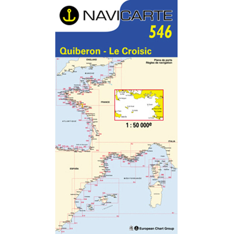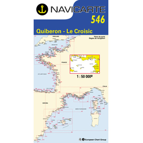





Navicarte nautical chart, coasts of France and Spain.
Data sheet
Specific References
The Navicarte 546 nautical chart covers the area between La Trinité and Le Croisic on the French Atlantic coast. This folded Navicarte paper chart is designed for recreational boating and coastal navigation. At a scale of 1:50,000, it provides a useful representation for planning coastal routes and organising navigation between different sections of the coastline.
For sailors looking for a nautical chart from La Trinité to Le Croisic, Navicarte 546 provides a sufficiently broad geographical view for route planning while retaining a useful level of detail for coastal navigation.
The area covered by Navicarte 546 is located on the French Atlantic coast. It allows sailors to plan navigation between La Trinité and Le Croisic and study the general configuration of this section of coastline.
This coverage is particularly useful for recreational boating. It allows the route to be planned before departure, different itinerary options to be considered and the overall coastline to remain visible during navigation.
The chart can be used for a day trip as well as for longer coastal navigation. It is also suitable for planning a coastal cruise involving several stages.
Navicarte 546 is published at a scale of 1:50,000. One centimetre on the chart represents 500 metres on the ground.
This scale combines relatively broad coastal coverage with a useful level of detail for route planning.
It can be used to:
view the area between La Trinité and Le Croisic;
plan a coastal route;
estimate distances;
study the configuration of the coastline;
identify areas requiring particular attention;
compare route options;
organise the different stages of a cruise.
The chart does not, however, replace larger-scale documentation when a specific approach or area requires greater precision.
Navicarte 546 is intended for recreational navigation and can be used aboard both sailing yachts and motorboats.
For sailing, it allows the navigator to plan the general route, visualise the different coastal areas and consider the various stages of the passage.
For motorboat navigation, it also provides a paper representation for planning coastal trips and passages between different areas.
The chart is particularly useful before departure, when the navigator needs to construct the itinerary and identify the areas through which the route will pass.
Using a nautical chart involves interpreting many different types of information. Soundings and depths help the navigator understand the seabed configuration. Buoyage, lights, hazards and coastal landmarks help explain the organisation of the maritime area.
Port information and other charted features complete the representation.
When planning a route between La Trinité and Le Croisic, the navigator can first examine the entire charted area and then focus on the sectors corresponding to the intended route.
This method makes it easier to anticipate changes of course and identify areas where additional information may be required.
Navicarte 546 can be used alongside GPS or an electronic chartplotter.
The electronic system allows the vessel’s position and route to be monitored. The paper chart provides a broader perspective and allows a larger portion of the coastline to be viewed simultaneously.
This combination is particularly useful during cruise planning. The general route can be developed on the paper chart before being transferred to or followed with the electronic system.
The paper chart also remains independent of electrical power, giving it an important complementary role in navigation.
The coverage of Navicarte 546 directly meets the needs of sailors planning a route between La Trinité and Le Croisic.
The chart makes it possible to visualise the general itinerary, estimate distances and consider the different stages of the passage.
It can also be used when the route forms part of a wider cruising programme. In that context, the chart provides a coherent representation of the area and helps the navigator prepare the transition between different navigation sectors.
For sailors accustomed to electronic charting, it provides a useful additional perspective during shore-based planning.
Navicarte 546 is a folded paper chart. Its unfolded size is A0, approximately 118.9 × 84.1 cm.
The folded format makes storage aboard convenient. When opened, the chart provides a comfortable working surface at the chart table and allows a substantial area to be studied.
The paper support is suitable for normal marine use and provides a physical document that can be consulted during route preparation.
Publisher: Navicarte
Chart number: 546
Coverage: La Trinité – Le Croisic
Maritime area: Atlantic Ocean
Country: France
Type: navigation chart
Navigation: coastal
Scale: 1:50,000
Support: paper
Format: folded chart
Unfolded size: A0, 118.9 × 84.1 cm
Language indicated: French
What area does Navicarte 546 cover?
Navicarte 546 covers the La Trinité and Le Croisic area on the French Atlantic coast. It is intended for coastal navigation and recreational boating.
What is the scale of Navicarte 546?
It is published at a scale of 1:50,000. One centimetre on the chart therefore represents 500 metres on the ground.
Is Navicarte 546 suitable for sailing?
Yes. It can be used to plan coastal sailing routes and navigation between La Trinité and Le Croisic.
Is chart 546 suitable for a motorboat?
Yes. It can also be used to plan coastal trips and routes aboard a motorboat.
Is Navicarte 546 suitable for coastal cruising?
Yes. Its coverage and scale allow a multi-stage route to be planned within the charted area. Additional documentation may be required for areas where greater detail is necessary.
Can Navicarte 546 be used with GPS?
Yes. It complements GPS and chartplotter navigation by providing an overall view of the area that is not restricted by the electronic display’s zoom level.
What is the format of Navicarte 546?
It is a folded paper nautical chart. When unfolded, it corresponds to approximately A0 size, or 118.9 × 84.1 cm.
Is chart 546 suitable for planning a route between La Trinité and Le Croisic?
Yes. This area corresponds directly to the chart’s stated coverage. It can be used to study the overall route, distances and the different coastal areas along the passage.
Is a paper chart still useful with a modern chartplotter?
Yes. It provides an overall view independent of the screen and electrical power. It is particularly useful for route planning and as a complementary navigation resource.
Does the 1:50,000 scale cover all harbour approaches?
The scale is suitable for coastal navigation and route planning, but some approaches require larger-scale documentation. The navigator should select charts according to the required level of precision.
You might also like