Du 14 au 20/01 inclus, nous serons sur un salon, les commandes passées pendant cette période seront expédiées à partir du 21/01.
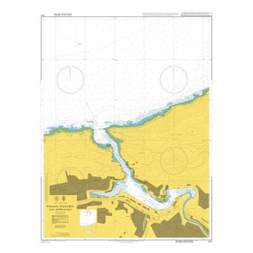
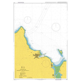
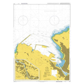
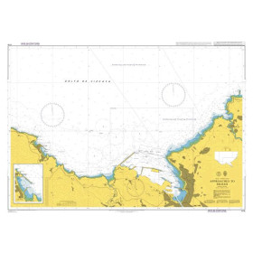
Admiralty nautical chart Atlantic Ocean
Admiralty Nautical chart Atlantic Ocean

 Click here to open our interactive map and select your charts
Vue carte
Vue liste
755 produits correspondent à vos critères.
Effacer
Vue carte
Vue liste
755 produits correspondent à vos critères.