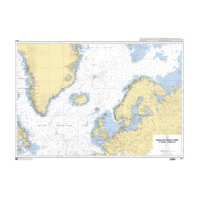
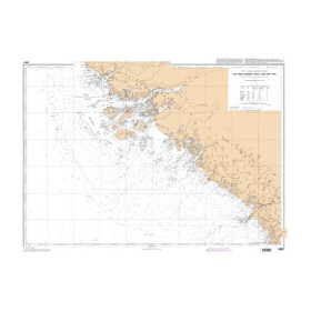
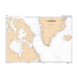
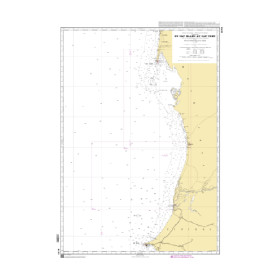
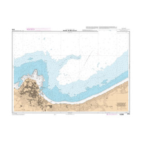
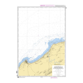
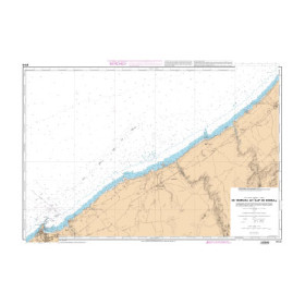
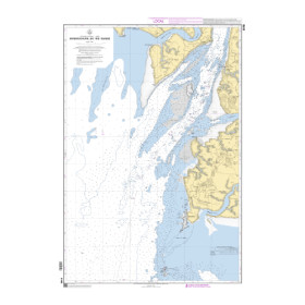
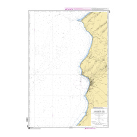
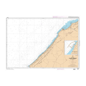
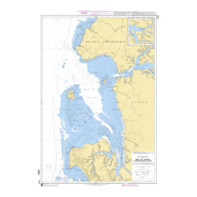
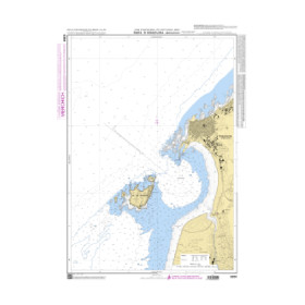
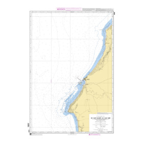
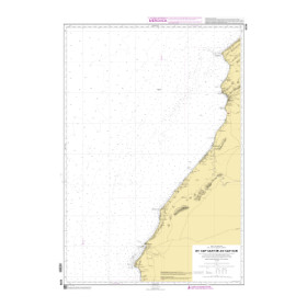
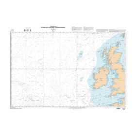
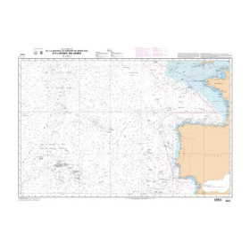
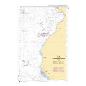
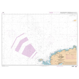
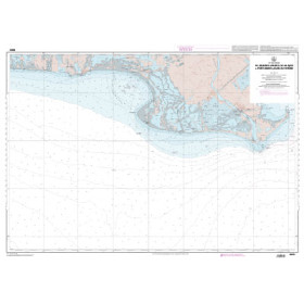
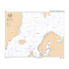
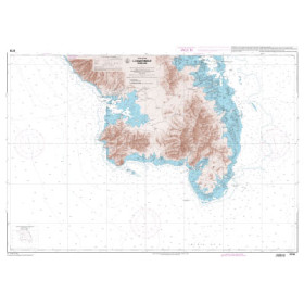
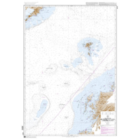
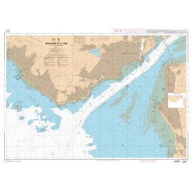
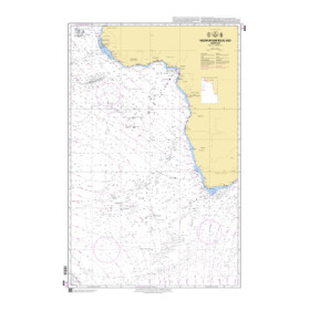
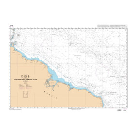
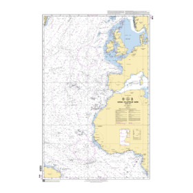
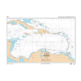
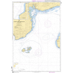
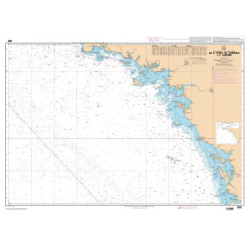
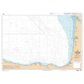
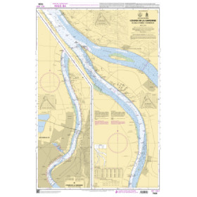
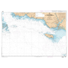
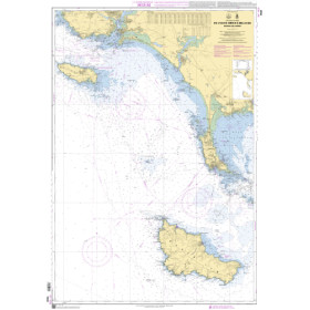
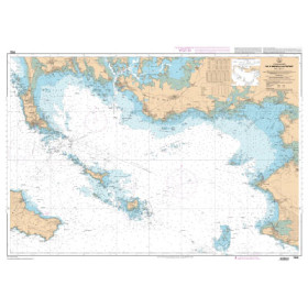
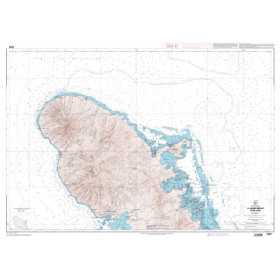
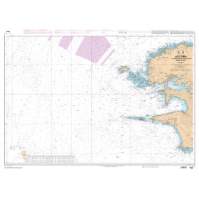
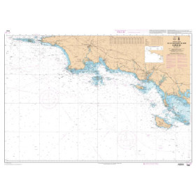
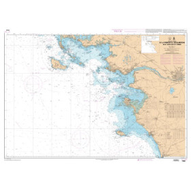
Shom raster nautical chart Atlantic Ocean
The Shom GeoTIFF raster nautical charts for the Atlantic Ocean are the digital versions of the official paper nautical charts, georeferenced for use on computers. They are produced from the official data of the French Hydrographic and Oceanographic Service (Shom). They preserve the exact visual appearance of traditional charts—colors, symbols, and bathymetry. Available in GeoTIFF format (300 dpi), they are compatible with navigation and GIS software such as OpenCPN, QGIS, or ArcGIS.
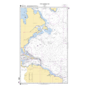
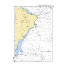
The Atlantic Ocean coverage area includes: Morocco (Casablanca, Tangier), Mauritania (Nouadhibou), Senegal (Dakar), Gambia (Banjul), Guinea-Bissau (Bissau), Guinea (Conakry), Sierra Leone (Freetown), Liberia (Monrovia), Ivory Coast (Abidjan), Ghana (Tema), Togo (Lomé), Benin (Cotonou), Nigeria (Lagos), Cameroon (Douala), Gabon (Libreville, Port-Gentil), Congo (Brazzaville) (Pointe-Noire), Angola (Luanda), Namibia (Walvis Bay), South Africa (Cape Town, Durban), Canada (Halifax, Montreal), USA (New York, Boston, Baltimore, Miami, Savannah), Guyana (Georgetown), Suriname (Paramaribo), French Guiana (Cayenne), Brazil (Recife, Salvador, Rio de Janeiro, Santos), France (Le Havre, Bordeaux, Nantes–Saint-Nazaire), Spain (A Coruña, Bilbao, Cádiz), Portugal (Lisbon, Porto), ...