Du 14 au 20/01 inclus, nous serons sur un salon, les commandes passées pendant cette période seront expédiées à partir du 21/01.
River navigation
Books and maps for river navigation
-
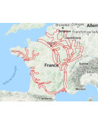
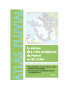
Chart and river guide Editions du Breil
The collection of guides and maps covers almost all the waterways of France and southern Belgium.
Several spotting boats on rivers and canals
To update the Editions du Breil guides, Jean-Marie and Anne Blatrier leave their home port in Castelsarrasin in the spring to explore the French waterways.
- Aboard their boat "Océan Manor", they sail from March to November, following a new itinerary each year. Their knowledge of the canals, rivers and estuaries of France is unmatched.
- The “Colibri” boat, currently moored in Chitry-les-Mines, is used for scouting in central France.
- The "Anatole III" inflatable boat based in Castelnaudary allows rapid travel on the rivers and estuaries of the south-west.
Cartographic work is provided by Michel Faynot and Julien Hodent.
German translations have been carried out for more than 15 years by Petra Westphal, who has become, over the years, a specialist in waterway vocabulary.
Nautical charts and river works are suitable for navigation for boaters.
Find course books and river navigation exercises to prepare your navigations.
Before choosing your nautical chart, it is interesting to know the particularities and differences between nautical charts.
-
Vagnon river guide
Find course books and river navigation exercises to prepare your navigations.
-

ANWB river guide and chart
The Nautic Way Maritime Bookstore offers river charts from ANWB Editions.
For navigation on the canals in Holland, the ANWB - 1 - Wateralmanak - volume 1 is compulsory on board. Not having it on board during an inspection will cost you a fine!
The collection of guides covers almost all of Holland's waterways. Discover those that will accompany your cruises, hikes and stopovers.
Nautical charts and river works are suitable for navigation for boaters.
Find course books and river navigation exercises to prepare your navigations.
Before choosing your nautical chart, it is interesting to know the particularities and differences between nautical charts.
-
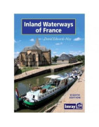
Imray river guide and chart
La Librairie Maritime Nautic Way is an approved Imray agent and offers the complete catalog of Imray maps and guides in French and English.
This page gathers all Imray river charts. Discover the ones that will accompany your cruises, hikes and stopovers.
Nautical charts and river works are suitable for navigation for boaters.
Find course books and river navigation exercises to prepare your navigations.
Before choosing your nautical chart, it is interesting to know the particularities and differences between nautical charts.
-
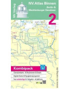
NV Charts river guide and chart
The Nautic Way Maritime Bookstore is an authorized NV Charts agent and offers the complete catalog of NV Charts charts and guides.
A little history
NV Charts is Germany's largest publisher of nautical charts. For more than 40 years, the NV Charts name has been synonymous with competence and continuity in the publication of nautical charts and guides, through a team of hydrographers, cartographers and nautical geographers who combine their know-how. Their nautical charts are tailored to the specific interests of sailing or motor boaters. Not only boaters who have been sailing between the Baltic Sea and the Caribbean for decades trust NV charts, but also pilots of the Kiel Canal (which connects the Baltic Sea to the North Sea) sail with special maps from NV editions, as well as the US Coast Guard between Miami and Grenada.
The A3 format booklets include several maps at different scales of the area covered.
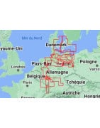
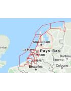
France is divided into 11 zones, i.e. 11 booklets of 30 maps. Some areas have been remeasured and updated using aerial photographs.NV Charts has the particularity of offering packs that include:
- a paper booklet, bound with precision, nautical charts at different scales with visual color markers for changing charts and tabs indicating the scales - Nautic Way: "it's practical and very easy to use."
+
- the same charts as in the booklet, but in digital version, to download, for PC, Mac, and tablet or smartphone with the offered software NV Charts Navigator Light - Nautic Way: "the NV Charts software is offered with the pack, it is simple but does the essentials."
+
- an application for tablet and smartphone - Nautic Way: "the software and application set can be installed on 5 different media at the same time (PC, Mac, tablet, smartphone) and synchronizes every 15 minutes."
NV Charts offers:
- paper map / digital map / free software packs
- guides
- digital maps
- navigation software
NV Charts digital charts download
On the digital charts download leaflet, there are instructions for downloading on the front.Downloading NV Charts nautical charts

At the Recto part :
- the top part concerns the procedure for downloading digital maps and software on tablet and smartphone under Apple, Android and Microsoft. These documents are in English, German, French.
- the bottom pane concerns the download procedure on PC. These documents are only in German and English.
On the back side :
- the confidential download code: the Product ID.
Find course books and river navigation exercises to prepare your navigations.
Before choosing your nautical chart, it is interesting to know the particularities and differences between nautical charts.
-
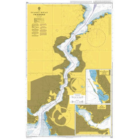
KartenWerft river chart
KartenWerft is a German publisher of German river maps.
KartenWerft maps and regional guides are characterized by comprehensive informative content in a clear structure and attractive layout as well as high GPS accuracy. Kartenwerft stands for professional and modern cartography.
In addition to the classic means of navigation, paper maps, KartenWerft relies on the possibilities of digital navigation and mobile computing. For this purpose, KartenWerft offers the KartenWerft Navgo app, tailor-made for smartphones and tablet PCs, as well as the Navpro extension. In addition to digital GPS navigation, these platforms allow information to be exchanged in both directions. The RevierService provides information about the current situation on site. Users can forward messages to KartenWerft and other users.
Mapped areas are familiar to employees through their own travel and are specifically walked through prior to production to ensure they are as up-to-date as possible. In doing so, Kartenwerft attaches great importance to personal contact with local actors.
Before choosing your nautical chart, it is interesting to know the particularities and differences between nautical charts.
-
Dutch Hydrographic Office river chart
The Nautic Way Maritime Library offers Dutch Hydrographic Office river charts.
Nautical charts and river works are suitable for navigation for boaters.
Before choosing your nautical chart, it is interesting to know the particularities and differences between nautical charts.
-
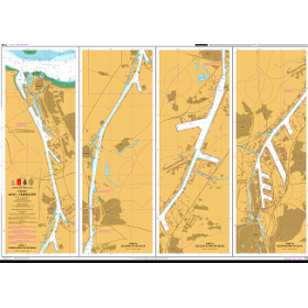
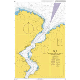
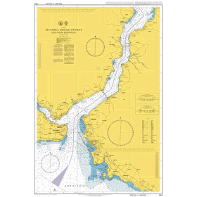
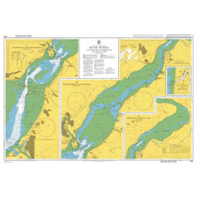
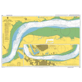
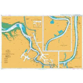
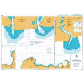
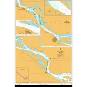
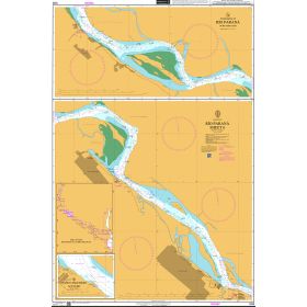
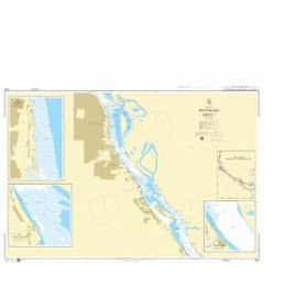
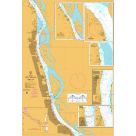
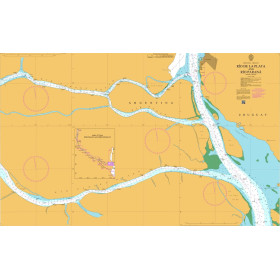
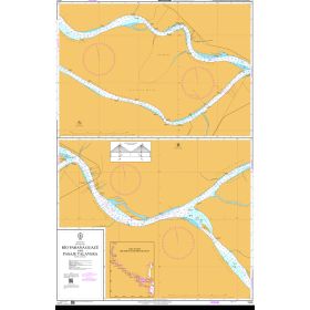
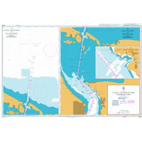
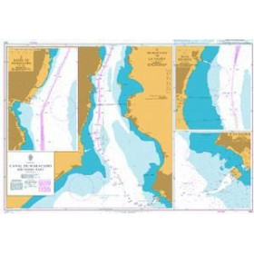
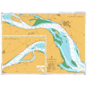
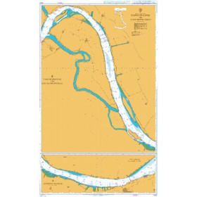
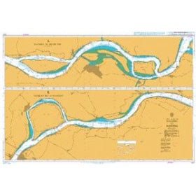
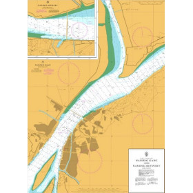
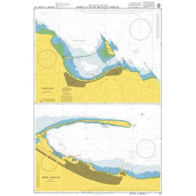
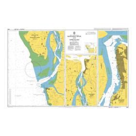
Admiralty River chart
The Nautic Way Maritime Bookstore offers all Admiralty river charts.
Nautical charts and river works are suitable for navigation for boaters.
All nautical charts, paper or digital, are edited to order and benefit from the latest updates. In accordance with the provisions of Article L221-28 of the Consumer Code, the right of withdrawal cannot be exercised for the supply of goods likely to be obsolete quickly. These charts are neither taken back nor exchanged. Consequently, these orders are concluded definitively as soon as the order is placed by the Customer according to the methods specified in these GCS.
Before choosing your nautical chart, it is interesting to know the particularities and differences between nautical charts.
-
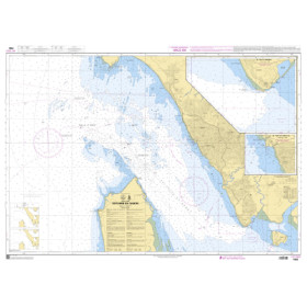
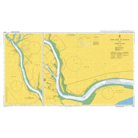
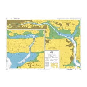
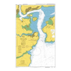
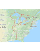
Shom River chart
The Nautic Way Maritime Bookstore offers all Shom river charts.
Nautical charts and river works are suitable for navigation for boaters.
All nautical charts, paper or digital, are edited to order and benefit from the latest updates. In accordance with the provisions of Article L221-28 of the Consumer Code, the right of withdrawal cannot be exercised for the supply of goods likely to be obsolete quickly. These charts are neither taken back nor exchanged. Consequently, these orders are concluded definitively as soon as the order is placed by the Customer according to the methods specified in these GCS.
Before choosing your nautical chart, it is interesting to know the particularities and differences between nautical charts.
-

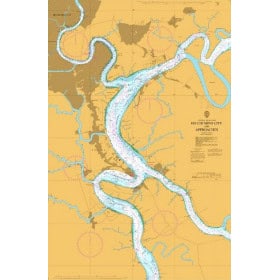
NOAA River Chart
The Nautic Way Maritime Bookstore offers all NOAA river charts.
Nautical charts and river works are suitable for navigation for boaters.
All nautical charts, paper or digital, are edited to order and benefit from the latest updates. In accordance with the provisions of Article L221-28 of the Consumer Code, the right of withdrawal cannot be exercised for the supply of goods likely to be obsolete quickly. These caharts are neither taken back nor exchanged. Consequently, these orders are concluded definitively as soon as the order is placed by the Customer according to the methods specified in these GCS.
-
Waterways river guide
The Nautic Way Maritime Bookstore offers the Waterways river guides.
Nautical charts and river works are suitable for navigation for boaters.
Before choosing your nautical chart, it is interesting to know the particularities and differences between nautical charts.
-
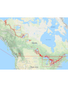
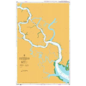
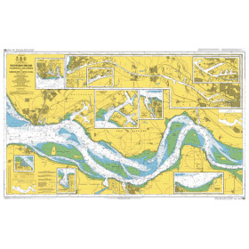
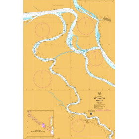
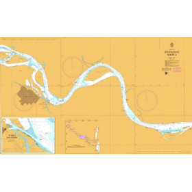
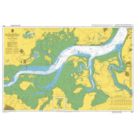
River Chart Canadian Hydrographic Service
The Nautic Way Maritime Library offers river charts from the Canadian Hydrographic Service.
Canadian Hydrographic Service nautical charts are flat charts on 120 to 150 gr/m² paper, close to an A0 format. They are published by the Hydrographic Service of Canada. They cover Canada.
One of the activities of the Canadian Hydrographic Service is the design, production, editing and maintenance of paper and digital charts (ENC). Nautical charts are a representation of particular navigation areas whose purpose is to ensure the safe navigation of ships. They are built in the Mercator projection at different scales depending on the navigation purposes.
Nautical charts and river works are suitable for navigation for boaters.
All nautical charts, paper or digital, are edited to order and benefit from the latest updates. In accordance with the provisions of Article L221-28 of the Consumer Code, the right of withdrawal cannot be exercised for the supply of goods likely to be obsolete quickly. These charts are neither taken back nor exchanged. Consequently, these orders are concluded definitively as soon as the order is placed by the Customer according to the methods specified in these GCS.
Before choosing your nautical chart, it is interesting to know the particularities and differences between nautical charts.
-
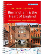
Collins River Guide
The Nautic Way Maritime Bookstore offers Collins river guides.\n \nNautical charts and river works are suitable for navigation for boaters.
-
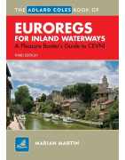
Other river chart and guide
The Nautic Way Maritime Bookstore offers river guides published by various publishers.
Nautical charts and river works are suitable for navigation for boaters.


 Click here to open our interactive map and select your charts