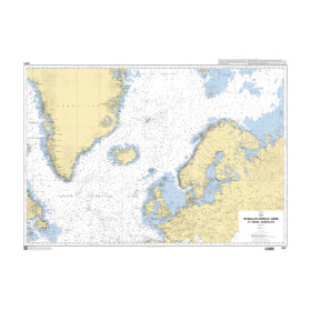
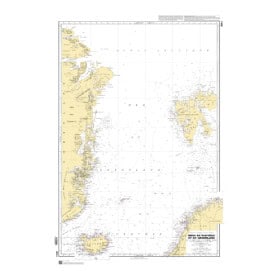
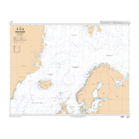
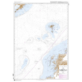
Shom raster nautical chart North Sea, Norwegian Sea

The Shom raster GeoTIFF nautical charts for the North and Norwegian Seas are the digital versions of the official paper nautical charts, georeferenced for use on a computer. They are produced from the official data of the French Hydrographic and Oceanographic Service (Shom). They retain the exact visual appearance of traditional charts — colors, symbols, and bathymetry. Available in GeoTIFF format (300 dpi), they are compatible with navigation and GIS software such as OpenCPN, QGIS, or ArcGIS.

The North and Norwegian Seas area covers: United Kingdom (London, Hull, Grimsby, Immingham, Aberdeen), France (Dunkirk), Belgium (Antwerp, Zeebrugge), the Netherlands (Rotterdam, Amsterdam), Germany (Hamburg, Bremerhaven, Wilhelmshaven), Denmark (Esbjerg, Aarhus, Copenhagen), Norway (Stavanger, Bergen, Oslo, Trondheim, Narvik, Tromsø, Tórshavn), Iceland (Reykjavík, Akureyri)…

Filters (4 products)

1 - Choosing plotter or routing software

No choice available on this group

2 - Choosing plotter brand or routing software

No choice available on this group

3 - Choosing plotter model selection

No choice available on this group

4 - Choosing hydrographic service or publisher

5 - Choosing chart status

6 - Choosing compatible charts

No choice available on this group

Loading...