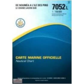
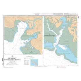
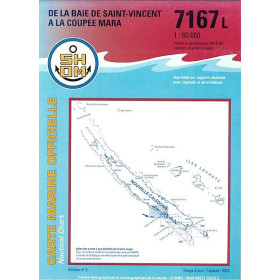
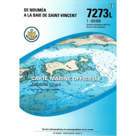
Shom L nautical chart Pacific Ocean
The Shom L Pacific Ocean nautical chart is a folded paper marine chart designed to plan and monitor voyages in the Pacific, particularly around French Polynesia, New Caledonia and French overseas island groups. It helps sailors plan routes between Papeete, Moorea, Raiatea, Bora-Bora, Nouméa and the Marquesas Islands, showing depths, reefs, hazards, passes, channels and coastal areas. This Shom nautical chart is particularly suitable for offshore sailing, inter-island passages and planning voyages in the South Pacific. It complements Shom nautical publications as well as Admiralty, Imray and NV Charts when charts are available for the relevant areas. Nautic Way Maritime Bookstore, a specialist in nautical cartography, offers folded Shom L nautical charts for sailors looking for reliable paper documentation to navigate the Pacific Ocean and plan their port calls and stopovers.

 Click here to open our interactive map and select your charts