SeaPro routing software
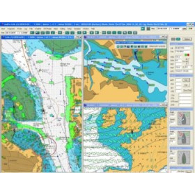
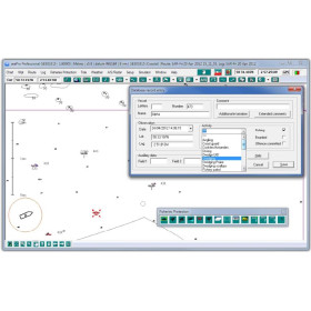
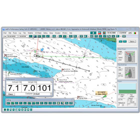
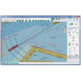
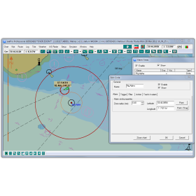
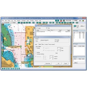
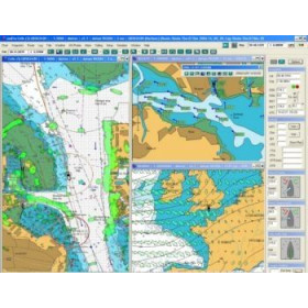
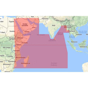
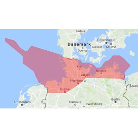
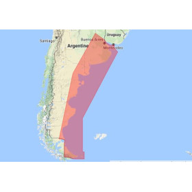
SeaPro navigation software is a computer-based marine charting solution designed for coastal and offshore passage planning. Depending on the version and available options, it can display compatible digital nautical charts, create routes, set waypoints and monitor vessel progress using GPS positioning. SeaPro supports different chart formats, including selected vector and raster charts, as well as weather data and routing functions where supported by the configuration. It can also integrate with compatible onboard equipment, such as AIS and certain navigation instruments. When choosing SeaPro marine navigation software, it is important to check the software version, available chart formats, geographical coverage and compatibility with the vessel’s existing equipment. Whether planning coastal cruising, preparing a longer passage or organising navigation data on a computer, selecting the right configuration helps ensure that the software meets the intended requirements. Nautic Way Maritime Bookshop provides nautical charts, navigation software and marine publications for recreational and professional navigators.

 Click here to open our interactive map and select your charts