I am sailing in Italy
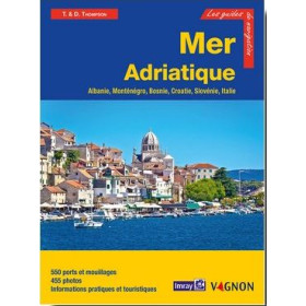
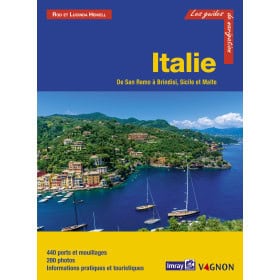
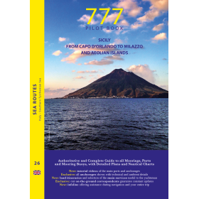
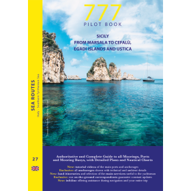
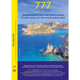
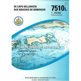
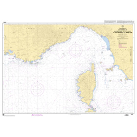
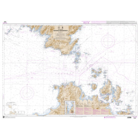
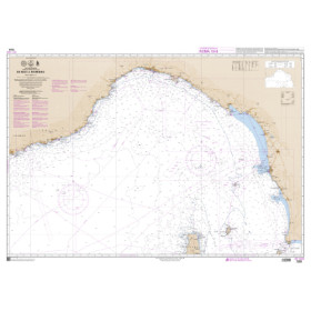
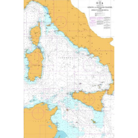
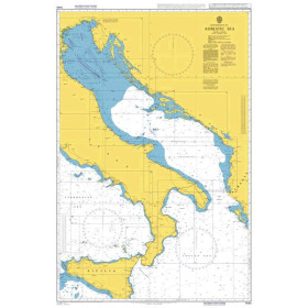
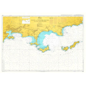
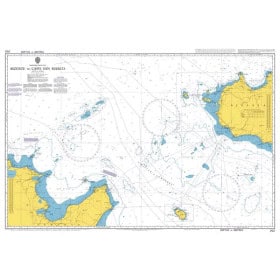
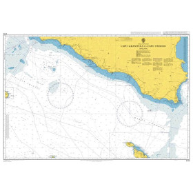
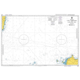
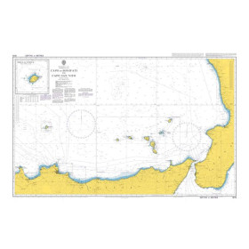
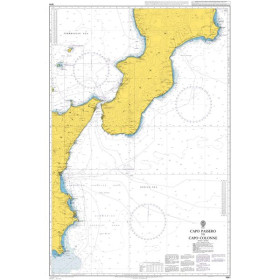
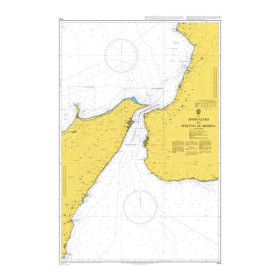
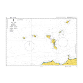
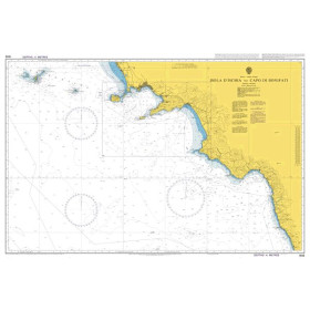
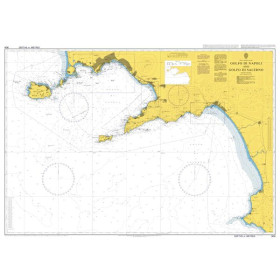
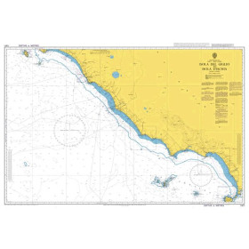
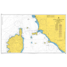
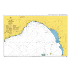
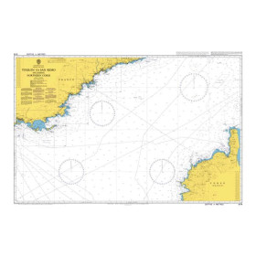
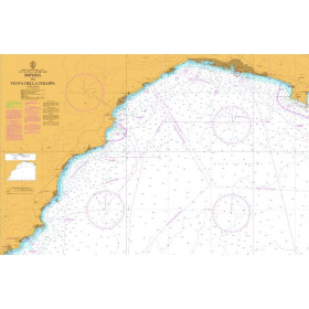
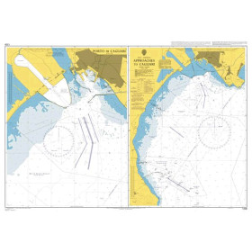
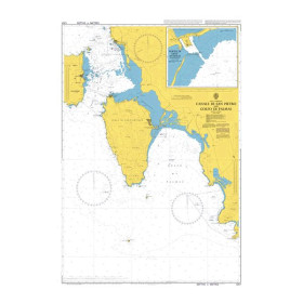
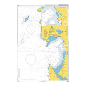
The category “I navigate in Italy” brings together nautical charts, cruising guides and essential documents for planning navigation along the Italian coastline, from the Ligurian Sea to the Adriatic Sea and from the Tyrrhenian Sea to the Ionian Sea. It covers Liguria, Tuscany, Sardinia, Sicily, Campania, Puglia and Calabria, as well as the islands of Sicily and Sardinia. Find nautical charts covering Genoa, La Spezia, Livorno, Civitavecchia, Naples, Salerno, Bari, Brindisi, Venice, Trieste, Palermo, Catania, Cagliari and Olbia. Whether you are planning a Mediterranean cruise, coastal navigation or a passage towards Greece, Malta or Croatia, Nautic Way offers charts and guides from publishers and brands including Imray, Admiralty, Navionics, C-MAP and the Istituto Idrografico della Marina (IIM). These documents help sailors plan routes, ports, anchorages, harbour approaches, depths, navigational hazards and regulated navigation areas.

 Click here to open our interactive map and select your charts