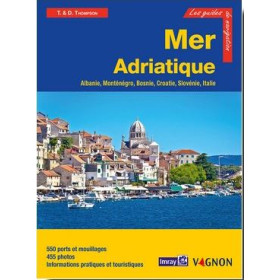
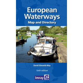
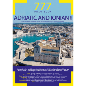
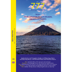
I am sailing in ...
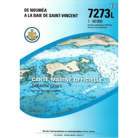
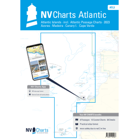
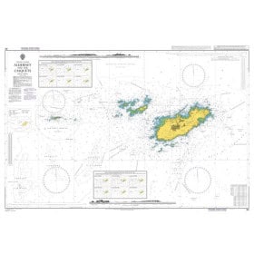
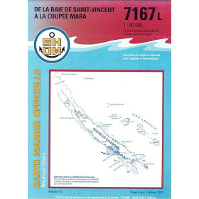
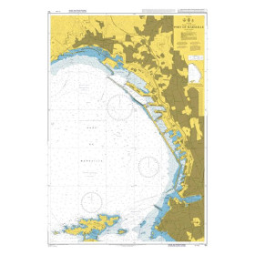
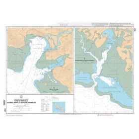
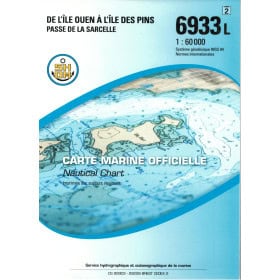
I Sail in… with Nautic Way helps you prepare for maritime navigation according to the sea, ocean or coastal area concerned: English Channel, Atlantic Ocean, North Sea, Mediterranean Sea, Adriatic Sea, Baltic Sea, Caribbean, Gulf of Mexico, Red Sea, Gulf of Aden, Indian Ocean or Pacific Ocean. Find information suited to routes to Brest, Cherbourg, Le Havre, Marseille, Toulon, Barcelona, Palma, Genoa, Venice, Split, Dubrovnik, Bergen, Rotterdam, Las Palmas, Fort-de-France or Pointe-à-Pitre. Depending on the sailing area, nautical chart documentation may be provided by Shom, Admiralty, Imray, NV Charts or other national hydrographic offices. This destination-based approach makes it easier to prepare for coastal, offshore or transoceanic navigation while taking into account hydrographic characteristics, currents, tides, buoyage and the specific conditions of each maritime region.

 Click here to open our interactive map and select your charts