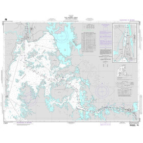
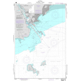
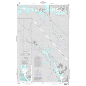
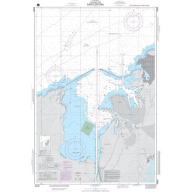
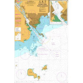
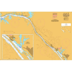
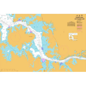
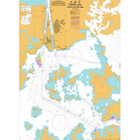
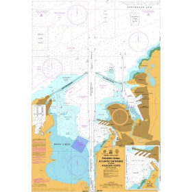
Nautical chart for the Panama Canal
Panama Canal nautical charts are essential tools for navigating one of the world’s most strategic maritime corridors. They provide precise and official information required to safely transit the canal, including navigation channels, locks, inland lakes, anchorage areas, and strict regulatory zones. Covering both Atlantic and Pacific entrances, these charts identify major ports such as Colón and Balboa, as well as key infrastructures like Gatun, Miraflores, and the Neo-Panamax locks. Designed primarily for professional mariners, shipping companies, and maritime pilots, they support compliance with Panama Canal Authority regulations and enhance navigational safety. While highly specialized and requiring regular updates, Panama Canal nautical charts remain indispensable for efficient, secure, and compliant maritime operations.

 Click here to open our interactive map and select your charts