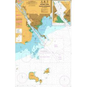
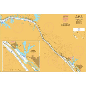
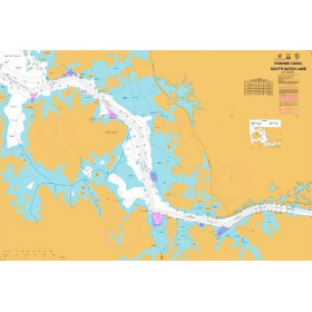
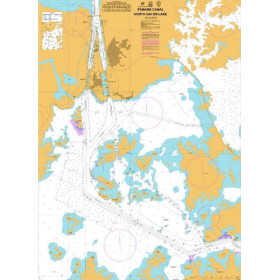
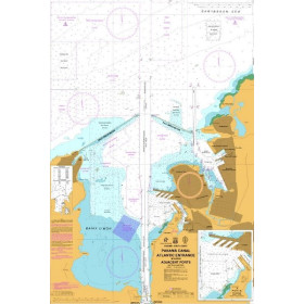
Carte marine Canal de Panama
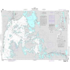
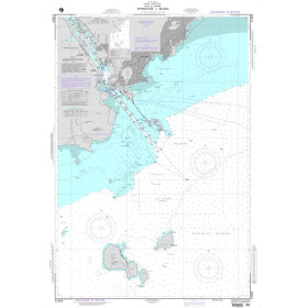
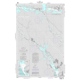
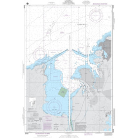
Are you looking for a paper nautical chart of the Panama Canal to prepare a passage between the Atlantic Ocean and the Pacific Ocean? This charting area covers the approaches to the Caribbean Sea, Limón Bay, Colón and Cristóbal on the Atlantic side, as well as the Gulf of Panama, Balboa and Panama City on the Pacific side. Depending on the chart selected, coverage may also include Gatun Lake, the Gatun, Pedro Miguel and Miraflores locks, the navigation channel and its main approaches. To prepare a Panama Canal transit, Admiralty nautical charts are a recognised international reference, while Panamanian hydrographic charts are produced and updated by the relevant maritime authorities. A nautical chart of Panama can also be useful when planning a voyage in the Caribbean, towards the San Blas Islands, or a Pacific crossing towards the Galápagos and Central America.

 Cliquez ici pour ouvrir notre carte interactive et sélectionnez vos cartes