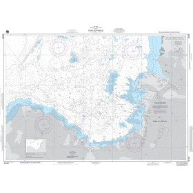
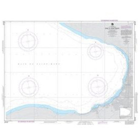
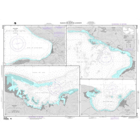
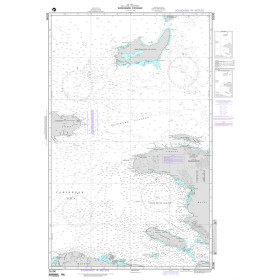
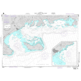
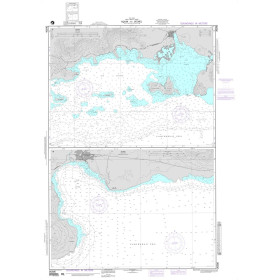
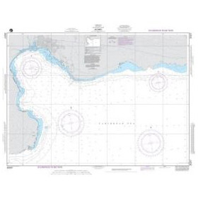
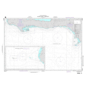
Carte marine NGA mer des Caraïbes, golfe du Mexique
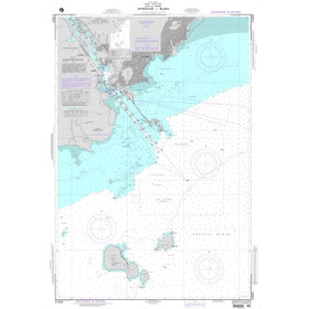
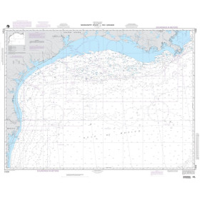
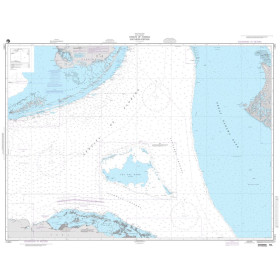
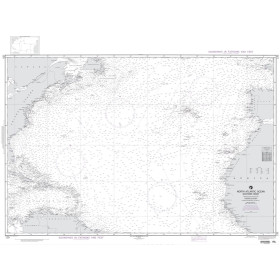
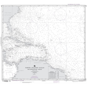
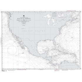
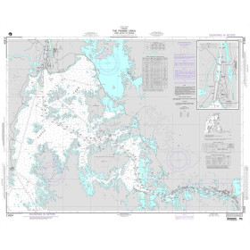
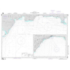
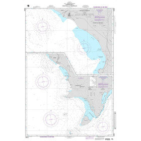
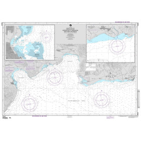
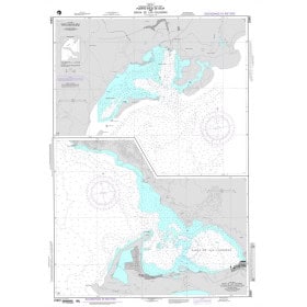
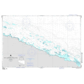
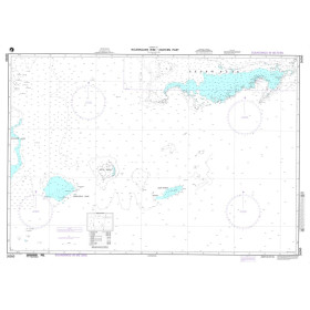
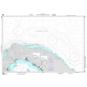
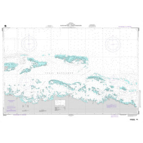
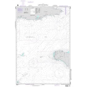
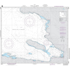
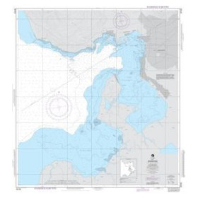
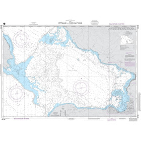
The Caribbean Sea and Gulf of Mexico form one of the largest and most complex navigation areas in the world, encompassing thousands of islands, the Panama Canal and areas of coral shoals. Nautic Way offers a catalogue of 96 NGA charts divided into coastal (36 products), nearshore (26 products), offshore (7 products) and oceanic coverage, including NGA 25001 for the eastern entrance to the Caribbean and NGA 21602 for transit through the Panama Canal towards the Pacific Ocean. Printed in large format on high-quality paper, they comply with IHO (INT Chart) standardised symbology and provide detailed information on soundings, seabed characteristics, channels, isolated dangers and exclusive economic zones.
Carte marine papier par éditeur (96 produits)

 Cliquez ici pour ouvrir notre carte interactive et sélectionnez vos cartes
Vue carte
Vue liste
96 produits correspondent à vos critères.
Effacer
Vue carte
Vue liste
96 produits correspondent à vos critères.