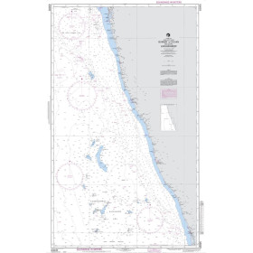
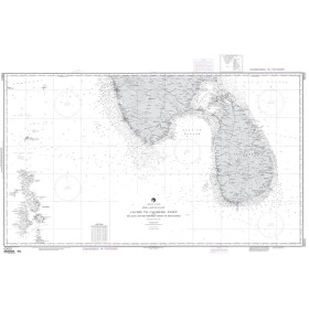
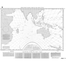
NGA nautical chart Arabian and Red Seas, Persian, Oman, Suez and Aden Gulfs
The area covering the Arabian Sea, Red Sea, Persian Gulf, Gulf of Oman, Gulf of Suez and Gulf of Aden is one of the world's most strategic and heavily trafficked maritime crossroads, with complex geopolitical considerations. NGA charts for this region stand out for their appropriate scales: NGA 62032 for the Persian Gulf at offshore scale and NGA 00074 for the Indian Ocean at oceanic scale. Printed in large format on high-quality paper, they comply with IHO (INT Chart) standardised symbology and provide detailed information on soundings, seabed characteristics, isolated dangers, lighthouse sectors, exclusive economic zones and military areas.
Paper nautical chart by publisher (7 products)

 Click here to open our interactive map and select your charts
Vue carte
Vue liste
7 produits correspondent à vos critères.
Effacer
Vue carte
Vue liste
7 produits correspondent à vos critères.