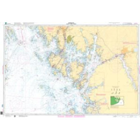
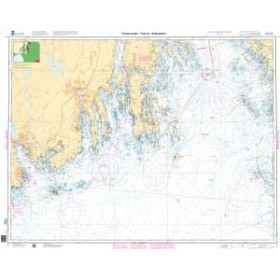
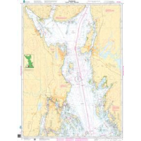
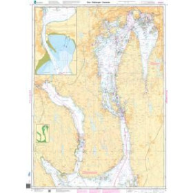
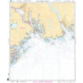
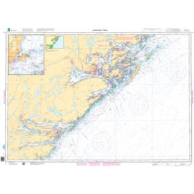
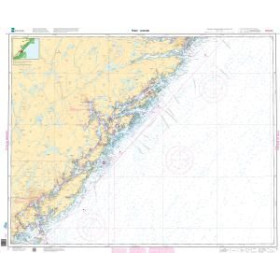
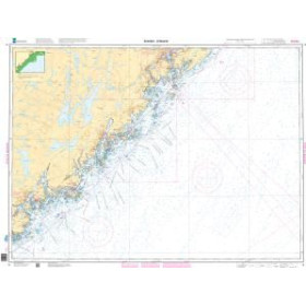
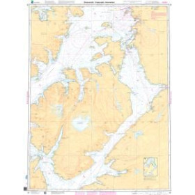
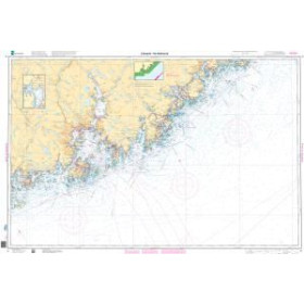
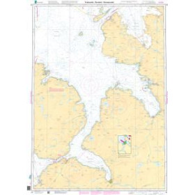
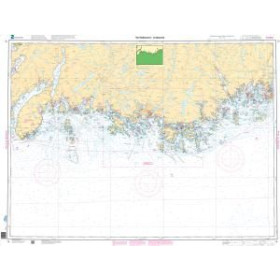
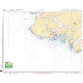
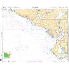
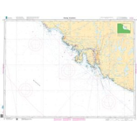
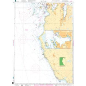
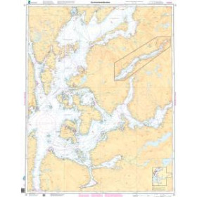
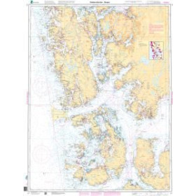
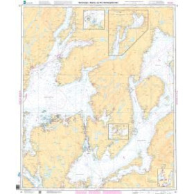
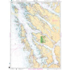
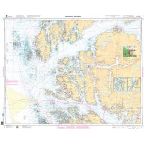
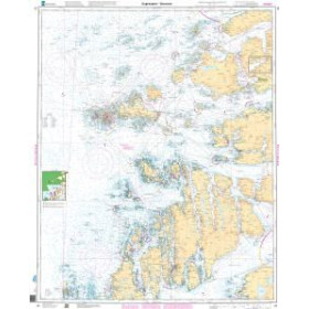
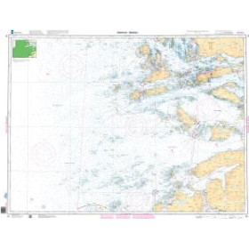
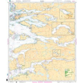
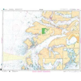
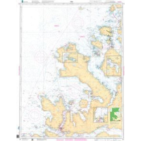
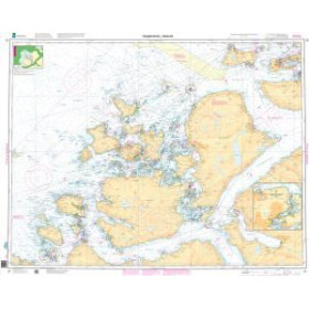
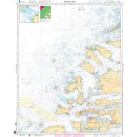
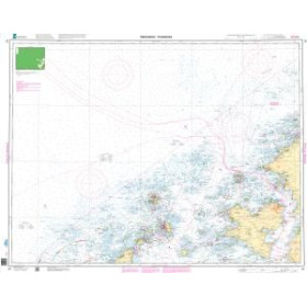
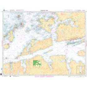
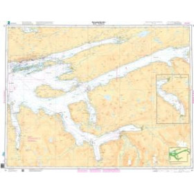
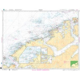
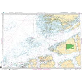
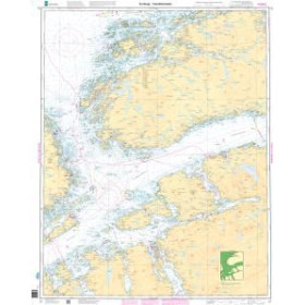
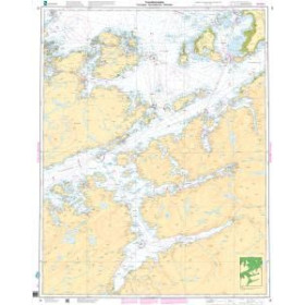
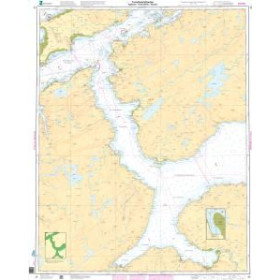
Kartverket Norwegian nautical chart
With more than 100,000 kilometres of coastline, deep fjords, islands and archipelagos, Norway requires exceptional cartographic accuracy for safe and confident navigation. The charts produced by Kartverket, Norway's official hydrographic authority, cover the country's entire maritime domain with a wide range of nautical charts, from the Oslo Fjord (Chart 001) to the Trondheim area (Chart 039), extending to the Arctic regions of Svalbard and Jan Mayen. Each chart provides detailed information on depths in metres, fjords, cliffs, reefs, port infrastructure and regulated areas, including military and protected areas, together with cautionary notes concerning local tides and currents. These charts are essential for professional mariners, coastal and offshore fishermen, experienced leisure sailors exploring Norway's fjords and archipelagos, and polar expeditions operating in areas affected by seasonal ice conditions around Svalbard. They benefit from regular updates through Notices to Mariners, helping ensure that navigators have reliable and up-to-date hydrographic information.

 Click here to open our interactive map and select your charts