Due to technical issues currently affecting our @nautic-way.com email system, we kindly ask you to temporarily use our backup email [email protected] Please continue using this address until this notice is removed.
List of products by brand NHS - kartverket - Norwegian Nautical Chart
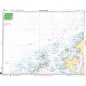
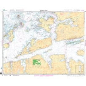
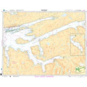
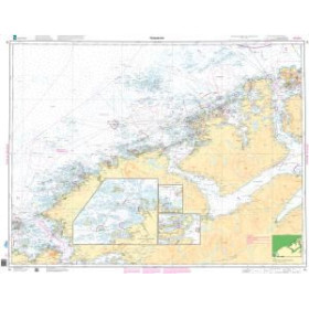
Official Kartverket Norwegian nautical charts for navigation along the Norwegian coast, through fjords and in Arctic waters.
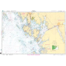
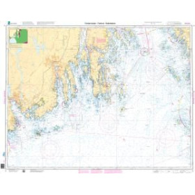
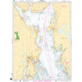
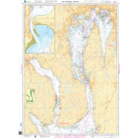
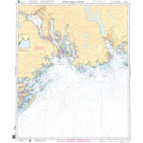
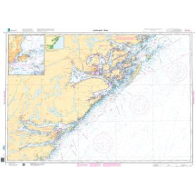
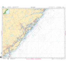
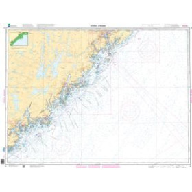
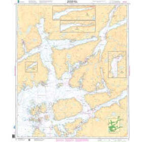
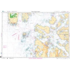
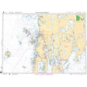
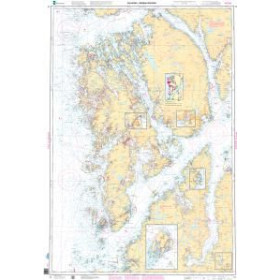
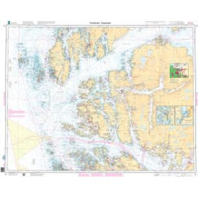
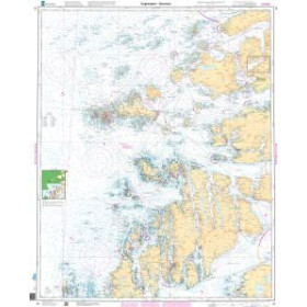
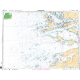
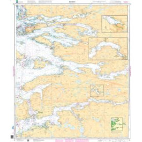
The Norwegian Hydrographic Service (NHS), part of Kartverket, is the authority responsible for producing and updating Norway's official nautical charts. Its chart coverage includes the Norwegian coastline, fjords, archipelagos, the Norwegian Sea and Arctic regions, particularly Svalbard and Jan Mayen. Kartverket nautical charts provide essential information for safe navigation, including bathymetry, soundings, shoals, reefs, channels, ports, navigational aids and coastal details. They are available at different scales, from detailed harbour plans to general charts intended for offshore navigation. Official Norwegian paper charts are now produced using a Print on Demand (POD) system. They are printed to order from chart files that are regularly updated with safety-related corrections published in the Norwegian Notices to Mariners (Efs). Nautic Way offers a selection of Kartverket nautical charts for planning voyages in Norway, its fjords and the Nordic and polar regions. The appropriate chart should be selected according to the area covered and the scale required for the intended voyage. After purchase, navigators remain responsible for applying subsequent nautical corrections.

 Click here to open our interactive map and select your charts