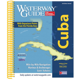
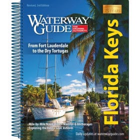
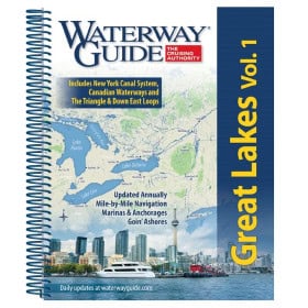
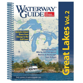
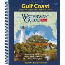
Guide Waterway
The Waterway guide is specialist documentation for planning inland navigation, river cruises and routes along navigable waterways. It provides practical information on canals, rivers, locks, bridges, anchorages, inland ports, marinas, services and local features along the routes. Depending on the area covered, Waterway guides can help plan routes on the Seine, Loire, Rhône, Saône, Rhine, Danube and European canals, with stopovers in cities and ports such as Paris, Rouen, Lyon, Strasbourg, Amsterdam, Brussels or Berlin. For navigation combining maritime and inland waterways, they can complement charts and publications from Shom, Admiralty, Imray or NV Charts, as well as cartographic documents specifically designed for inland navigation. These guides are useful for planning a river cruise, choosing stopovers, anticipating lock passages and identifying facilities accessible to boats. They provide practical documentation for navigating France and Europe, whether aboard a motor cruiser, river boat or other vessel suitable for inland waterways.

 Click here to open our interactive map and select your charts