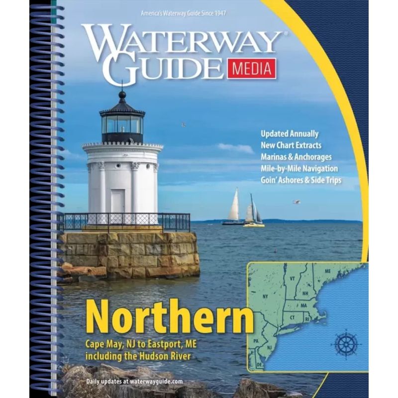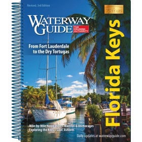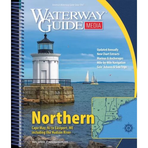



Your go-to guide for the Atlantic Coast, covering Cape May, NJ, to Maine. Features mile-by-mile details, GPS waypoints, aerial maps, marina directories, and weatherproof pages for reliable navigation.
Data sheet
Specific References
Navigate the Atlantic seaboard with confidence using the Waterway Guide Northern, the most trusted resource for boaters exploring the waters from Cape May, NJ, to Maine. This annually updated guide delivers unparalleled precision, combining mile-by-mile navigation details with aerial photography, GPS waypoints, and expert local insights to ensure safe and seamless voyages along the Hudson River, Long Island Sound, and Cape Cod Bay.
Designed for recreational boaters, this guide provides a complete roadmap of the northern Atlantic coast, featuring detailed mile-by-mile descriptions of waterways, hazards, and key landmarks. Aerial photographs with overlaid routes offer a bird’s-eye view of your journey, while GPS waypoints and distance tables help you plan fuel stops, overnight stays, and optimal travel times. Whether you're cruising the Intracoastal Waterway or venturing into open waters, this guide ensures you stay on course with accuracy and ease.
Beyond navigation, the Waterway Guide Northern is your go-to resource for marina listings, complete with location maps, contact details, and amenities. Discover safe anchorages, learn about local tides and currents, and explore the best onshore destinations with the "Goin’ Ashore" articles, which highlight must-visit ports, dining, and attractions. The guide’s durable spiral binding and laminated covers with built-in bookmarks make it easy to reference while underway, even in challenging conditions.
Engineered for life on the water, this guide features thick, laminated covers that resist water, wind, and wear, while the spiral binding allows it to lay flat for hands-free reading. The included flaps double as bookmarks, so you can quickly return to critical pages. Whether you're a seasoned sailor or a weekend cruiser, this guide is an indispensable tool for navigating the northern Atlantic’s most iconic waterways with confidence and precision.
Master the Northern Atlantic Coast with the Ultimate Boating Guide
The Waterway Guide Northern is the definitive resource for boaters tackling the Atlantic seaboard from Cape May, NJ, to Maine, including the Hudson River, Long Island Sound, and Cape Cod Bay. Updated annually, this 2022 edition combines precision navigation data with practical local knowledge, making it an indispensable tool for safe and enjoyable cruising. Weighing just 3.5 lbs (1.6 kg), this spiral-bound guide is designed for durability, featuring laminated covers and built-in bookmarks for easy use on deck.
Mile-by-Mile Navigation with Aerial Precision
Navigate with confidence using detailed mile-by-mile descriptions of waterways, hazards, and key landmarks. The guide includes aerial photographs with marked routes, GPS waypoints, and distance tables to help you plan your journey efficiently. Whether you're plotting a course through the Intracoastal Waterway or exploring open waters, this guide provides the accuracy you need to avoid obstacles and optimize your route.
Marinas, Anchorages, and Local Expertise
Beyond navigation, the guide offers comprehensive marina listings with location maps, contact details, and amenities. Discover safe anchorages, learn about local tides and currents, and explore onshore destinations with the "Goin’ Ashore" articles, which highlight the best ports, dining, and attractions. This guide ensures you have all the information you need for a seamless and enjoyable voyage.
Designed for Life on the Water
The Waterway Guide Northern is built to withstand the rigors of boating, with thick, laminated covers that resist water, wind, and wear. The spiral binding allows the guide to lay flat for hands-free reading, while the built-in flaps serve as bookmarks for quick reference. Whether you're a seasoned sailor or a weekend cruiser, this guide is your trusted companion for navigating the northern Atlantic’s most iconic waterways.
The Waterway Guide Northern is a paperback edition published in 2022, covering the Atlantic coast from Cape May, NJ, to Maine, including the Hudson River, Long Island Sound, and Cape Cod Bay. It features a durable spiral binding with thick, laminated covers and built-in bookmarks for easy use on board. The guide includes mile-by-mile navigation details, aerial photographs with marked routes, GPS waypoints, marina listings, and local insights for safe and efficient cruising.
For decades, this series has been the gold standard for boaters navigating the Atlantic coast, trusted for its accuracy, comprehensive coverage, and practical design. Each edition is meticulously updated to provide the latest navigation data, local insights, and marina information, ensuring boaters have the tools they need for safe and enjoyable voyages. The guides are crafted with durability in mind, featuring robust materials and user-friendly layouts tailored for life on the water.
The guide covers the Atlantic coast from Cape May, NJ, to Maine, including the Hudson River, Long Island Sound, and Cape Cod Bay, with detailed mile-by-mile navigation information.
Yes, the guide includes GPS waypoints to assist with precise navigation along the covered waterways.
The guide features a flexible spiral binding and thick laminated covers with bookmark flaps, designed for durability and easy handling on board.
Yes, it provides lists of marinas, their locations on maps, and additional details such as mooring information.
Yes, the guide includes detailed distance tables and bridge tables to help plan safe and efficient navigation routes.
The guide weighs approximately 1.6 kg, making it portable and easy to handle.
Yes, the guide is updated annually to ensure the most current navigation information and details.
You might also like