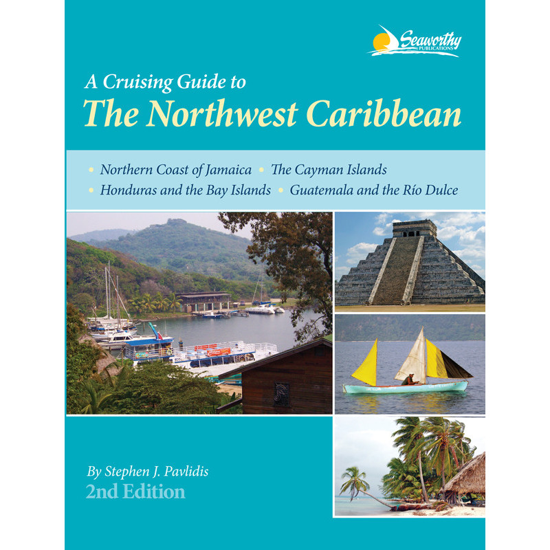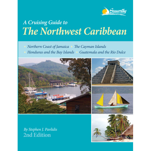




Navigate the Northwest Caribbean confidently with 73 color charts, aerial port photos, and expert guidance for Jamaica, Cayman Islands, Honduras, and Guatemala’s Río Dulce.
Data sheet
Specific References
Navigate the stunning yet challenging waters of the Northwest Caribbean with confidence. This comprehensive cruising guide is your ultimate resource for exploring the northern coast of Jamaica, the Cayman Islands, Honduras and the Bay Islands, and Guatemala—including the famed Río Dulce. Designed for sailors who demand accuracy and detail, this guide combines expert insights with practical navigation tools to ensure a seamless journey.
Say goodbye to guesswork with 73 full-color sketch charts, meticulously crafted from independent hydrographic surveys. These charts provide precise, up-to-date information on depths, hazards, and safe passages, giving you the clarity needed to navigate even the most intricate coastal areas. Whether you're plotting a course through the Cayman Trench or anchoring in a secluded bay, these charts are your trusted ally.
Plan your route with ease using included GPS waypoints, ensuring you stay on track from departure to destination. The guide offers step-by-step navigation instructions, including recommended approaches, safe routes, and critical waypoints for key locations. From the bustling harbors of Roatán to the serene waters of the Río Dulce, every leg of your journey is covered with precision.
Discover the best anchorages, marinas, and harbors with detailed descriptions of facilities, services, and local amenities. Whether you need fuel, provisions, or repairs, this guide provides the essential information to keep your vessel—and crew—well-supplied. Color aerial photos of ports offer a visual reference, helping you identify landmarks and navigate with confidence.
This guide goes beyond charts and waypoints, offering a wealth of local knowledge. Explore top diving and snorkeling sites, learn about the region’s rich history and culture, and access practical information on customs, weather patterns, and local regulations. The extended appendices include everything from tide tables to emergency contacts, ensuring you’re prepared for any situation.
Authored by a seasoned mariner with firsthand experience in these waters, this guide is tailored to the needs of cruisers. The 385-page volume is packed with insights gathered from years of exploration, making it an indispensable tool for both seasoned sailors and those new to the region. Its durable paperback format is designed to withstand the rigors of life onboard, ensuring it remains a reliable resource trip after trip.
With an extensive index, bibliography, and cross-referenced sections, finding the information you need is quick and effortless. Whether you’re planning a multi-month voyage or a weekend getaway, this guide equips you with the knowledge to make the most of your time on the water. From hidden coves to bustling ports, every destination is covered with the detail and accuracy you expect from a premium cruising guide.
Master the Northwest Caribbean with the Definitive Cruising Guide for Sailors
Embark on your next adventure with the most trusted and detailed guide to the Northwest Caribbean. This 385-page paperback edition is your all-in-one resource for navigating the northern coast of Jamaica, the Cayman Islands, Honduras and the Bay Islands, and Guatemala’s Río Dulce. Designed for cruisers who prioritize safety, accuracy, and local insights, this guide delivers everything you need to explore these stunning yet complex waters with confidence.
Precision Navigation with 73 Full-Color Sketch Charts
Navigate with unparalleled accuracy using 73 full-color sketch charts, each based on independent hydrographic surveys conducted by the author. These charts provide critical details on depths, hazards, and safe passages, ensuring you can plot a course through even the most challenging areas. Whether you're threading through the coral reefs of the Bay Islands or approaching the narrow channels of the Río Dulce, these charts are your most reliable tool for safe navigation.
GPS Waypoints and Step-by-Step Guidance
Stay on course with included GPS waypoints and detailed navigation instructions for every key location. The guide offers clear, concise directions for approaches, routes, and anchorages, eliminating the guesswork from your journey. From the bustling ports of George Town to the remote coves of the Cayman Islands, you’ll have the information you need to navigate with ease.
Local Knowledge for a Seamless Voyage
Beyond charts and waypoints, this guide is packed with local insights to enhance your cruising experience. Discover the best diving and snorkeling sites, learn about the region’s history and culture, and access practical tips on customs, weather, and local regulations. The extended appendices provide additional resources, including tide tables, emergency contacts, and more, ensuring you’re prepared for any situation.
Built for the Demands of Life Onboard
With a durable paperback format, this guide is designed to withstand the rigors of life at sea. Its 11 × 9 × 1-inch dimensions and 2-pound weight make it easy to store and reference, whether you're at the helm or planning your next stop. Authored by a seasoned mariner, this guide reflects years of firsthand experience, making it an indispensable companion for sailors exploring the Northwest Caribbean.
This comprehensive cruising guide is packed with essential tools for navigating the Northwest Caribbean. The 385-page paperback edition features 73 full-color sketch charts based on independent hydrographic surveys, providing precise navigation details for the northern coast of Jamaica, the Cayman Islands, Honduras and the Bay Islands, and Guatemala’s Río Dulce. It includes GPS waypoints, detailed navigation instructions, aerial port photos, and extensive appendices covering everything from local services to emergency contacts. Published in 2016, this second edition is designed for durability and ease of use, with dimensions of 11 × 9 × 1 inches and a weight of 2 pounds.
With a reputation for delivering high-quality cruising guides, this publisher specializes in creating resources tailored to the needs of sailors. Their guides are known for their accuracy, detailed charts, and practical insights, making them a trusted choice for mariners exploring some of the world’s most challenging and rewarding waters. Each publication reflects a commitment to providing reliable, up-to-date information to enhance the safety and enjoyment of every voyage.
The guide covers the northern coast of Jamaica, the Cayman Islands, Honduras and the Bay Islands, as well as Guatemala including the Río Dulce.
No, the 73 color sketch charts are based on independent and precise hydrographic surveys conducted by the author.
Yes, it provides GPS waypoints along with detailed navigation instructions, approaches, and routes.
The guide features color aerial photos of ports to assist with navigation and planning.
This second edition contains 385 pages of detailed cruising information.
The guide includes information on diving sites, local history, services, extended appendices, an index, and a bibliography.
Yes, it provides comprehensive details on anchorages, services, and local information to support extended stays.
You might also like