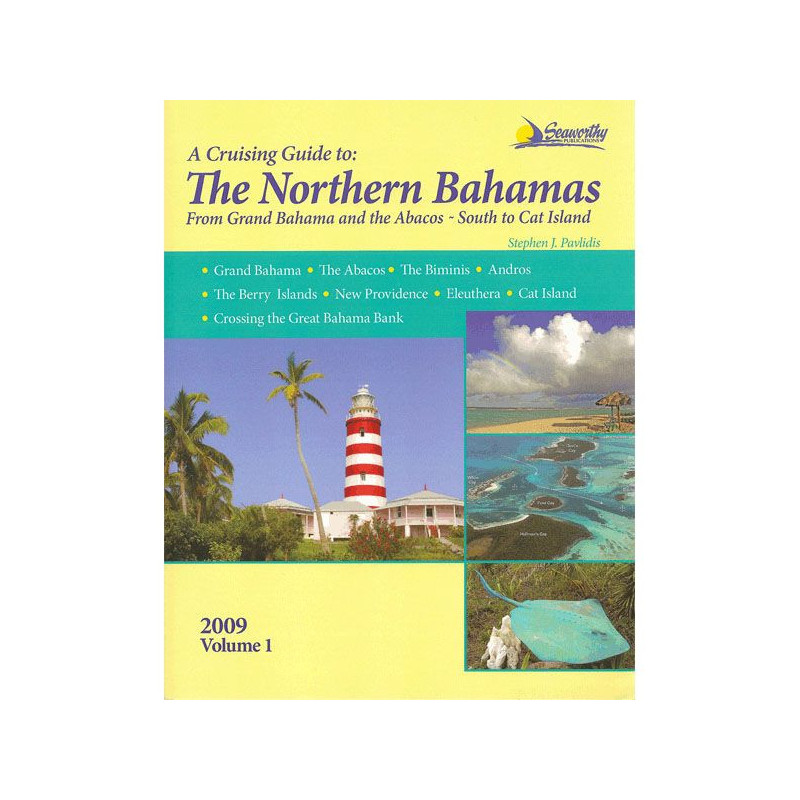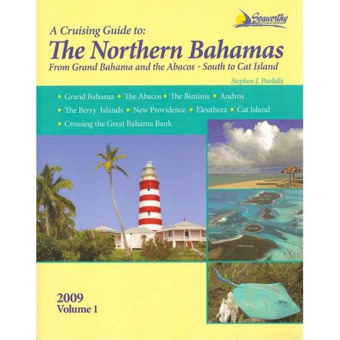




Explore the Northern Bahamas with this essential cruising guide, featuring detailed charts, GPS waypoints, and local insights for Grand Bahama, Abacos, Bimini, and more. A must-have for sailors.
Data sheet
Specific References
Navigate the stunning waters of the Northern Bahamas with confidence using this meticulously crafted cruising guide. Designed for boaters seeking precision, local insights, and up-to-date navigation details, this guide is your key to unlocking the best of Grand Bahama, the Abacos, the Biminis, Andros, the Berry Islands, New Providence, Eleuthera, Cat Island, and the Grand Bahama Bank crossing. Whether you're a seasoned sailor or a first-time visitor, this book delivers the tools you need for a seamless and unforgettable journey.
This guide stands out with its unmatched accuracy, featuring:
More than just a navigation tool, this guide is a treasure trove of local knowledge. Discover:
Written by Stephen J. Pavlidis, a seasoned sailor with extensive firsthand experience in the region, this guide reflects years of local exploration. The 2013 edition ensures you have the most current information, making it an indispensable resource for planning and executing your voyage. With 348 pages of expertly curated content, including extended appendices, a detailed index, and a bibliography for further reading, this guide is designed to be your go-to reference before and during your trip.
For cruisers who demand reliability and depth, this guide delivers:
Master the Northern Bahamas with the definitive cruising guide for boaters
Embark on your Bahamian adventure with confidence using this all-in-one cruising guide, meticulously designed for sailors exploring the Northern Bahamas. Covering Grand Bahama, the Abacos, the Biminis, Andros, the Berry Islands, New Providence, Eleuthera, Cat Island, and the Grand Bahama Bank crossing, this guide combines expert navigation data with local insights to ensure a seamless journey. Whether you're plotting a course through shallow waters or seeking the best anchorages, this book provides the precision and detail you need to navigate with ease.
Precision navigation tools for safe and efficient cruising
This guide is packed with essential tools to enhance your navigation experience. Featuring color maps, aerial port photos, and hand-drawn sketch charts based on the author’s personal hydrographic surveys, it offers unparalleled accuracy for avoiding hazards and identifying key landmarks. GPS waypoints, detailed approach routes, and step-by-step navigation instructions ensure you stay on course, while comprehensive anchorage listings provide safe and optimal mooring spots. With this guide in hand, you’ll navigate the Northern Bahamas like a local.
A wealth of local knowledge for an enriched cruising experience
Beyond navigation, this guide is a gateway to the best the Northern Bahamas has to offer. Discover prime diving and snorkeling sites, complete with descriptions of underwater wonders and marine life. Access up-to-date information on essential services, including fuel docks, marinas, provisioning spots, and repair facilities. Delve into the islands’ history and culture with insightful narratives, and benefit from practical cruising tips tailored to the region, from customs procedures to weather patterns. This guide ensures you’re not just passing through but truly experiencing the Bahamas.
Designed for boaters, by a seasoned sailor
Authored by Stephen J. Pavlidis, a cruiser with extensive firsthand experience in the Bahamas, this guide reflects years of local exploration and expertise. The 2013 edition guarantees the most current and reliable information, making it an indispensable tool for planning and executing your voyage. With 348 pages of expertly curated content, including extended appendices, a detailed index, and a bibliography, this guide is your ultimate reference for a safe, informed, and enjoyable cruising experience in the Northern Bahamas.
This comprehensive cruising guide for the Northern Bahamas is a paperback edition with 348 pages, offering detailed navigation data, local insights, and practical cruising tips. Published in 2013 and authored by Stephen J. Pavlidis, it includes color maps, aerial port photos, GPS waypoints, and hand-drawn sketch charts based on personal hydrographic surveys. The guide measures 11 × 9 × 1 inches and weighs 3 lbs, making it a portable yet thorough resource for boaters.
With decades of experience in creating specialized cruising guides, this publisher is renowned for delivering accurate, up-to-date, and practical navigation resources for boaters. Their guides are crafted by seasoned sailors, ensuring that every detail is tailored to the needs of cruisers exploring some of the world’s most beloved sailing destinations.
This guide covers the Northern Bahamas, including Grand Bahama, the Abacos, Biminis, Andros, Berry Islands, New Providence, Eleuthera, Cat Island, and the crossing of the Great Bahama Bank.
Yes, the guide provides detailed navigation instructions with GPS waypoints, approaches, and routes for safe cruising.
The guide features numerous full-color maps, aerial port photos, and hand-drawn sketch charts based on the author’s precise hydrographic surveys.
Yes, it includes details on mooring spots, diving sites, local services, and essential cruising information for the Bahamas.
The shipping weight of the book is 1.6 kg (approximately 3.5 lbs).
Yes, it includes a comprehensive introduction to cruising in the Bahamas, along with history, local insights, and extended appendices for all experience levels.
The 2013 edition includes up-to-date local knowledge, revised navigation details, and the latest hydrographic data from the author’s surveys.
You might also like