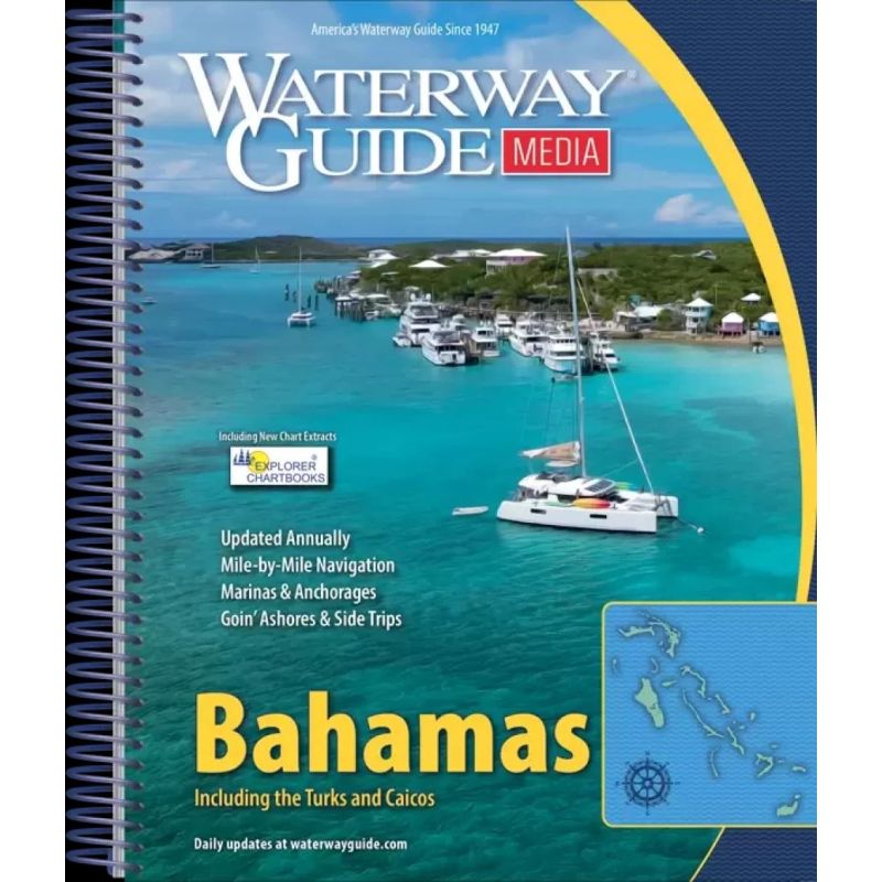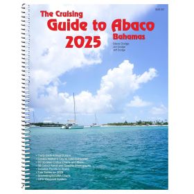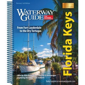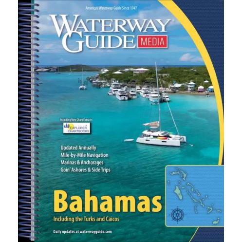



This 2025 Bahamas cruising guide offers mile-by-mile navigation, GPS waypoints, aerial photos, and marina details in a durable spiral-bound format. Ideal for seamless island-hopping.
Data sheet
Specific References
Explore the stunning waters of the Bahamas and Turks & Caicos with confidence using the Waterway Guide Bahamas. This annually updated cruising guide is meticulously designed for boaters seeking accurate, mile-by-mile navigation details. Whether you're charting a course through the Exumas, planning a stop in Nassau, or venturing to the remote islands of Turks & Caicos, this guide provides everything you need for a safe and seamless journey.
This guide stands out with its detailed aerial photographs overlaid with marked routes, ensuring you can visualize your path before setting sail. It includes precise GPS waypoints, allowing you to navigate with pinpoint accuracy, whether you're using traditional charts or digital tools like the Aquamap app. The guide also features comprehensive distance tables and planning charts, making it easy to estimate travel times and fuel consumption for your trip.
Beyond navigation, the Waterway Guide Bahamas offers an extensive directory of marinas, complete with location maps and contact details, so you can plan your stops with ease. It also highlights safe anchorages, giving you peace of mind when dropping anchor in unfamiliar waters. Practical articles on ports and local knowledge provide valuable insights, helping you make the most of your time ashore.
Designed for life on the water, this guide features a rugged spiral binding and a laminated cover with built-in bookmark flaps, ensuring it withstands the rigors of marine environments. Its compact dimensions (8.5 x 10.5 inches) make it easy to store on any boat, while the 420 pages of content deliver unparalleled depth and utility. Whether you're a seasoned sailor or a first-time visitor to the Bahamas, this guide is your trusted resource for a smooth and enjoyable voyage.
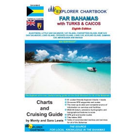
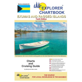
While the Waterway Guide Bahamas is a standalone resource, it pairs perfectly with the Explorer Chartbooks and the Aquamap app, offering a hybrid navigation experience. Use the guide for detailed planning and reference, then complement it with digital tools for real-time updates and enhanced situational awareness. This combination ensures you have the best of both worlds—reliable paper charts and cutting-edge technology—at your fingertips.
Navigate the Bahamas with Unmatched Precision and Confidence
The Waterway Guide Bahamas is the ultimate cruising companion for boaters exploring the breathtaking waters of the Bahamas and Turks & Caicos. Updated annually for 2025, this guide delivers mile-by-mile navigation details, ensuring you have the most current and accurate information at your fingertips. Whether you're plotting a course through the Exumas, anchoring in a secluded cove, or docking at a bustling marina, this guide provides the tools you need for a safe and enjoyable voyage.
Detailed Navigation Aids for Every Leg of Your Journey
Featuring aerial photographs with marked routes, GPS waypoints, and comprehensive distance tables, this guide simplifies trip planning and execution. The aerial images offer a bird's-eye view of your route, while the GPS waypoints ensure precise navigation, whether you're using traditional paper charts or digital tools. The distance tables help you estimate travel times and fuel needs, making it easier to plan your stops and refueling points along the way.
Marinas, Anchorages, and Local Knowledge at Your Fingertips
Beyond navigation, the guide includes an extensive directory of marinas, complete with location maps and contact information, so you can easily find and book your next stop. It also highlights safe and scenic anchorages, giving you the confidence to explore remote areas. Practical articles on ports and local insights provide valuable tips, from the best places to provision to hidden gems worth visiting. This guide is more than just a navigation tool—it's your gateway to discovering the best of the Bahamas and Turks & Caicos.
Designed for the Demands of Life on the Water
Built to withstand the marine environment, the Waterway Guide Bahamas features a durable spiral binding and a laminated cover with built-in bookmark flaps, ensuring it stays protected and easy to use, even in challenging conditions. Its compact size (8.5 x 10.5 inches) makes it a perfect fit for any boat, while the 420 pages of content deliver unparalleled depth and utility. Whether you're a seasoned sailor or a first-time visitor, this guide is your trusted resource for navigating these stunning waters with ease.
The Waterway Guide Bahamas is a comprehensive cruising guide designed for boaters navigating the Bahamas and Turks & Caicos. Updated annually, this 2025 edition spans 420 pages and covers essential navigation details, including mile-by-mile routes, GPS waypoints, and distance tables. It features aerial photographs with marked paths, marina directories with location maps, and practical articles on ports. The guide is built for durability with a spiral binding and laminated cover, measuring 8.5 x 10.5 inches and weighing 1.6 kg, making it ideal for use on any vessel.
For decades, this trusted name in cruising guides has provided boaters with accurate, up-to-date navigation resources for some of the world's most popular sailing destinations. Known for their meticulous attention to detail and practical insights, their guides are designed to enhance safety and convenience on the water, making them a favorite among recreational and professional mariners alike.
The 2025 edition covers the Bahamas islands and the Turks and Caicos islands, including detailed navigation information for these regions.
The guide is updated annually to ensure the most current navigation data, marinas, and waypoints are included.
Yes, the guide includes GPS waypoints, detailed planning charts, and distance tables for precise navigation.
The guide measures 8.5 x 10.5 inches (21.6 x 26.7 cm) and is designed for easy handling on board.
The guide features a laminated cover and spiral binding for durability, but it is not fully water-resistant.
The guide contains 420 pages, including navigation details, aerial photographs, and marina listings.
Yes, it includes aerial photographs with marked routes to assist in visual navigation.
You might also like