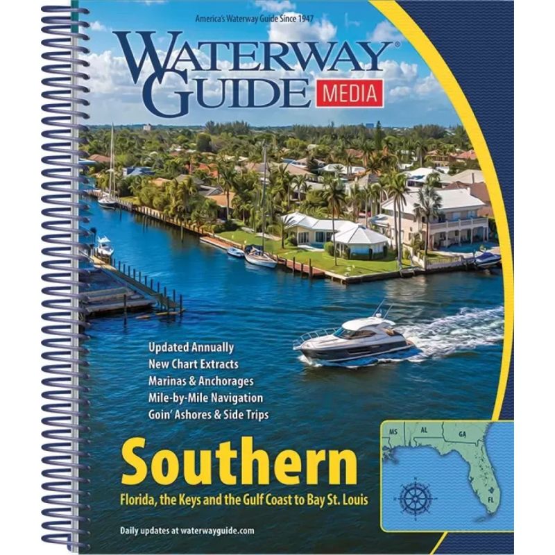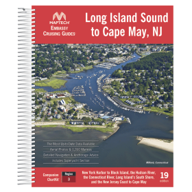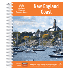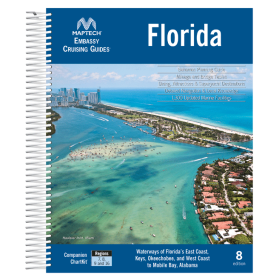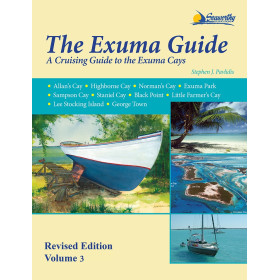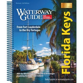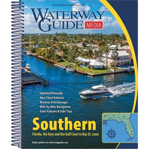



Cruise Florida’s coasts and the Gulf with this 2022 guide. Mile-by-mile navigation, aerial photos, GPS waypoints, and marina directories cover East Florida to Mississippi for seamless voyages.
Data sheet
Specific References
Explore the Southern U.S. waterways with confidence using the Southern Waterway Guide, the most trusted resource for boaters navigating the East Coast of Florida, the St. John’s River, the Okeechobee Waterway, the Florida Keys, the West Coast of Florida, and the Gulf of Mexico up to Bay St. Louis, Mississippi. This annually updated guide is designed to provide boaters with everything they need for a safe, efficient, and enjoyable journey, whether you're cruising for a weekend or embarking on a long-distance voyage.
Navigate with precision using the Southern Waterway Guide’s detailed mile-by-mile navigation information. Each section of the waterways is carefully charted, offering clear guidance on channels, hazards, and key landmarks. Aerial photographs with marked routes provide a bird’s-eye view of your journey, helping you visualize your path and avoid potential obstacles. GPS waypoints are included for accurate positioning, ensuring you stay on course even in unfamiliar waters.
Plan your stops with ease using the guide’s extensive marina directories, complete with location maps and essential details such as fuel availability, docking facilities, and services. The guide also features in-depth "Goin’ Ashore" articles that highlight ports, towns, and attractions along your route, giving you the inside scoop on the best places to dock, dine, and explore. Whether you're looking for a quiet anchorage or a bustling marina with all the amenities, this guide has you covered.
Built to withstand the rigors of life on the water, the Southern Waterway Guide features a robust spiral binding and thick laminated covers with built-in bookmark flaps. This durable construction ensures the guide stays open to the page you need, even in windy conditions, while protecting it from water, sun, and wear. The compact 8.5 x 10.5-inch format fits easily in any cockpit or navigation station, making it a practical tool for everyday use.
Take the guesswork out of trip planning with the guide’s detailed planning charts, distance tables, and bridge clearance information. These tools allow you to map out your route, estimate travel times, and ensure your vessel can safely pass under bridges along the way. Whether you're plotting a short trip or a cross-Gulf adventure, the Southern Waterway Guide provides the data you need to make informed decisions and travel with peace of mind.
Navigation conditions change, and so does the Southern Waterway Guide. Updated annually, this guide reflects the latest information on waterway conditions, marina services, and local regulations. Subscribers also gain access to WaterwayGuide.com, an interactive online platform that offers map-based planning, real-time navigation alerts, fuel price updates, and hurricane status reports. With a one-year complimentary BoatUS membership included, you’ll enjoy additional perks like reward points, weekly nautical news, and exclusive tools to enhance your boating experience.
Navigate the Southern U.S. Waterways with the Most Trusted Boating Guide
The Southern Waterway Guide is the definitive resource for boaters exploring the diverse and dynamic waterways of the Southern United States. Covering over 1,200 miles of coastline, rivers, and intracoastal routes, this guide is your go-to companion for safe and enjoyable navigation from the East Coast of Florida to the Gulf of Mexico. Whether you're cruising the St. John’s River, traversing the Okeechobee Waterway, or island-hopping through the Florida Keys, this guide provides the detailed information you need to travel with confidence.
Mile-by-Mile Navigation and Aerial Insights
This guide offers unparalleled detail with mile-by-mile navigation instructions, ensuring you stay on course and avoid hazards. Aerial photographs with marked routes give you a clear visual reference of your journey, while GPS waypoints provide precise positioning for accurate navigation. The guide also includes comprehensive marina directories, complete with location maps and service details, so you can plan your stops with ease. Whether you're docking for the night or refueling, you'll have all the information you need at your fingertips.
Built for Boaters, Designed for Durability
Engineered for life on the water, the Southern Waterway Guide features a rugged spiral binding and thick laminated covers with built-in bookmark flaps. This durable design ensures the guide stays open to the page you need, even in challenging conditions, while protecting it from water, sun, and wear. The compact 8.5 x 10.5-inch format fits perfectly in any cockpit or navigation station, making it a practical and reliable tool for every voyage.
Plan, Explore, and Stay Informed
Beyond navigation, the guide includes detailed planning charts, distance tables, and bridge clearance information to help you map out your route and estimate travel times. The "Goin’ Ashore" articles offer local insights into ports and attractions, giving you the inside scoop on the best places to explore. Updated annually, the guide ensures you have the latest information on waterway conditions, marina services, and regulations. Plus, with access to WaterwayGuide.com, you’ll receive real-time updates on fuel prices, hurricane status, and navigation alerts, keeping you informed and prepared for any situation.
The Southern Waterway Guide is a comprehensive navigation resource designed for boaters exploring the Southern U.S. waterways. This 588-page guide features a durable spiral binding and thick laminated covers with built-in bookmark flaps, ensuring it withstands the rigors of onboard use. Measuring 8.5 x 10.5 inches and weighing 1.6 kg, it is compact yet packed with essential information, including mile-by-mile navigation details, aerial photographs with marked routes, GPS waypoints, and detailed marina directories. Updated annually, the guide covers the East Coast of Florida, the St. John’s River, the Okeechobee Waterway, the Florida Keys, the West Coast of Florida, and the Gulf of Mexico up to Bay St. Louis, Mississippi.
For decades, this guide has been the gold standard for boaters navigating the intricate waterways of the Southern United States. Known for its accuracy, durability, and comprehensive coverage, it is updated annually to reflect the latest navigation conditions, marina services, and local regulations. The guide is backed by a robust online platform that offers interactive map-based planning, real-time updates, and exclusive tools to enhance the boating experience, making it an indispensable resource for both seasoned cruisers and weekend boaters.
The 2022 edition covers the east coast of Florida, St. John’s River, Okeechobee Waterway, the Keys, Florida’s west coast, and the Gulf of Mexico up to Bay St. Louis, Mississippi.
Yes, the guide is compatible with both iOS and Android devices through the WaterwayGuide.com interactive platform.
The guide is updated annually, with real-time navigation alerts and weekly updates on fuel prices and hurricane status provided via email.
The guide measures 8.5 x 10.5 inches and weighs approximately 1.6 kg (3.5 lbs).
Yes, it includes GPS waypoints along with detailed planning charts and mile-by-mile navigation information.
Yes, it includes a one-year BoatUS membership, real-time navigation alerts, fuel price updates, hurricane status alerts, and access to planning tools and weekly nautical news.
Yes, the guide features a robust spiral binding with laminated covers and built-in bookmark flaps for durability in cockpit conditions.
You might also like