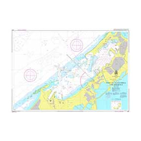
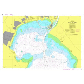
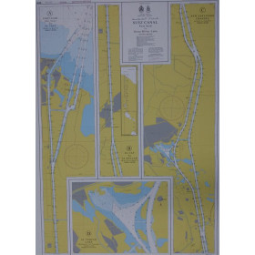
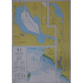
Nautical chart for the Suez canal
Are you looking for a paper nautical chart of the Suez Canal to prepare a passage between the Mediterranean Sea and the Red Sea? Explore nautical charts covering the approaches to Port Said, Port Fouad, Ismailia, Lake Timsah, the Great Bitter Lake, Suez and Port Tewfik. Admiralty nautical charts and those published by the Egyptian Navy Hydrographic Department (ENHD), including official charts SC01 and SC02, help you plan your route and identify the main navigation areas of the Suez Canal. Depending on your destination, complete your chart collection with nautical charts covering the Gulf of Suez, the Gulf of Aqaba, the Red Sea and the Indian Ocean. Whether you are planning a yacht delivery, an offshore cruise or a passage towards the Eastern Mediterranean, choose a Suez Canal nautical chart suited to your voyage, together with up-to-date sailing directions, notices to mariners and official navigation regulations.

 Click here to open our interactive map and select your charts